Uphill
131m
France > Provence-Alpes-Côte d'Azur > Vaucluse > Luberon Regional Natural Park
Length
6km
Duration
2h
Elev gain
131m
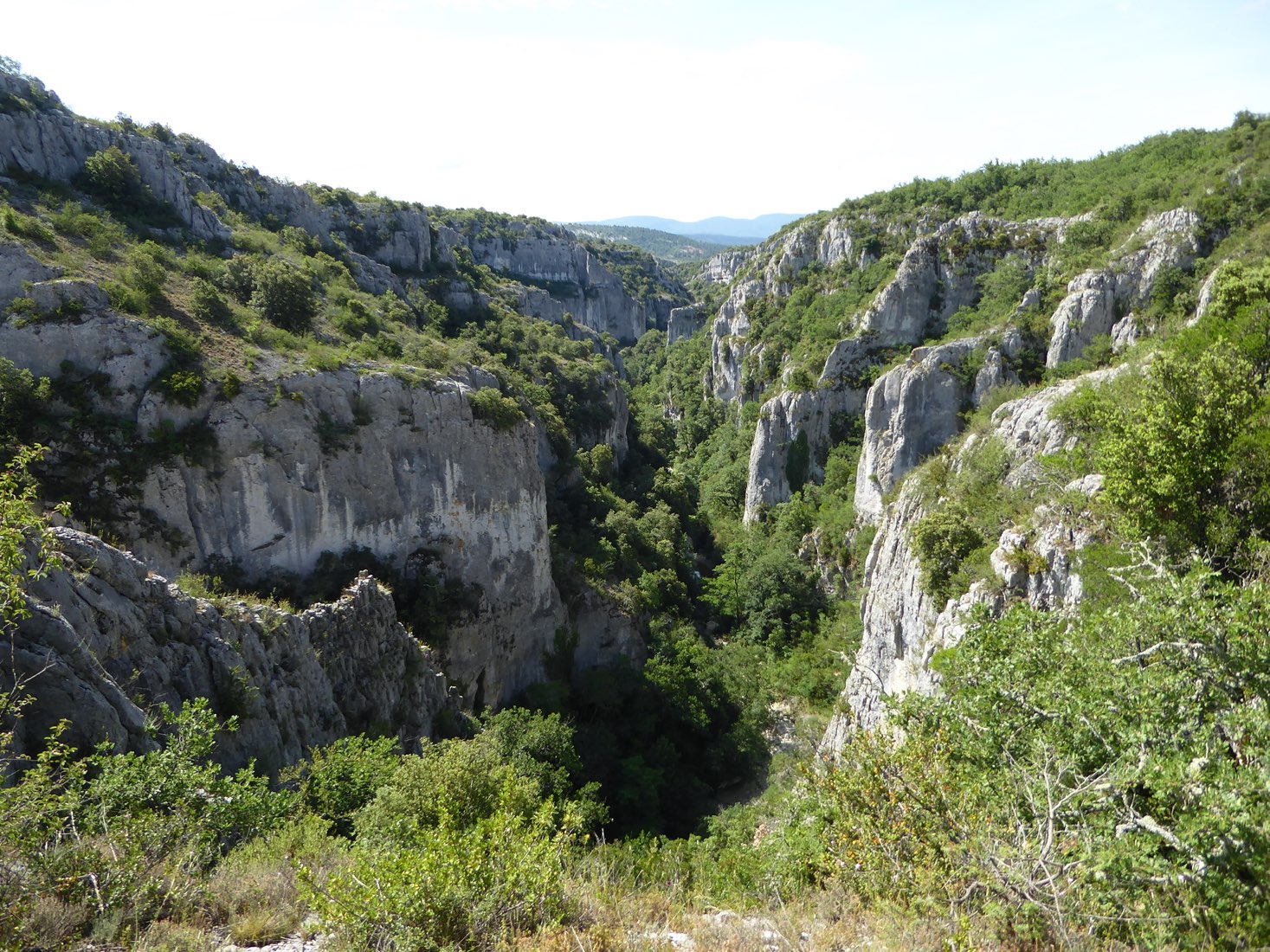
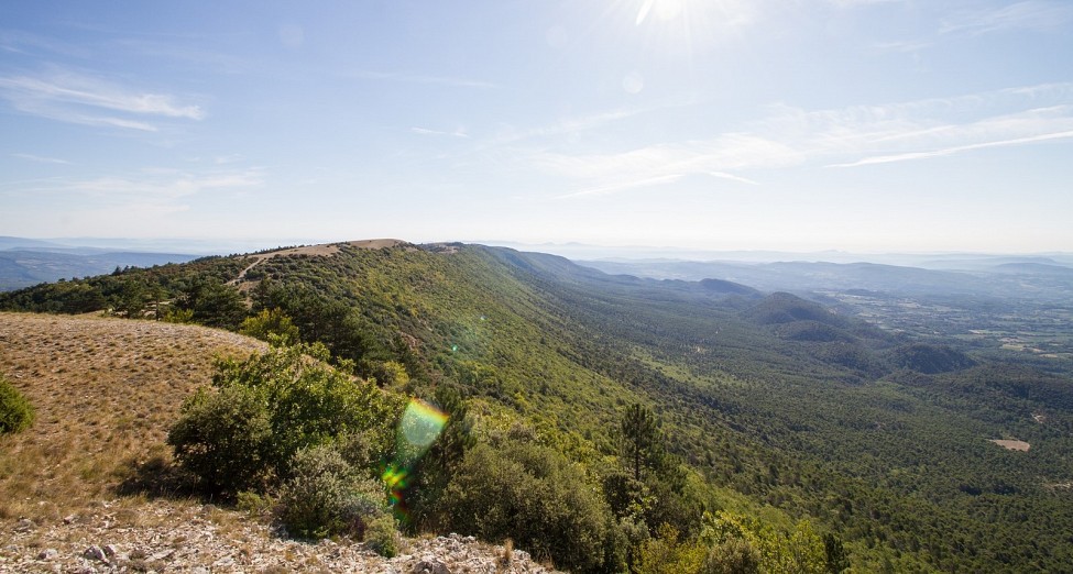
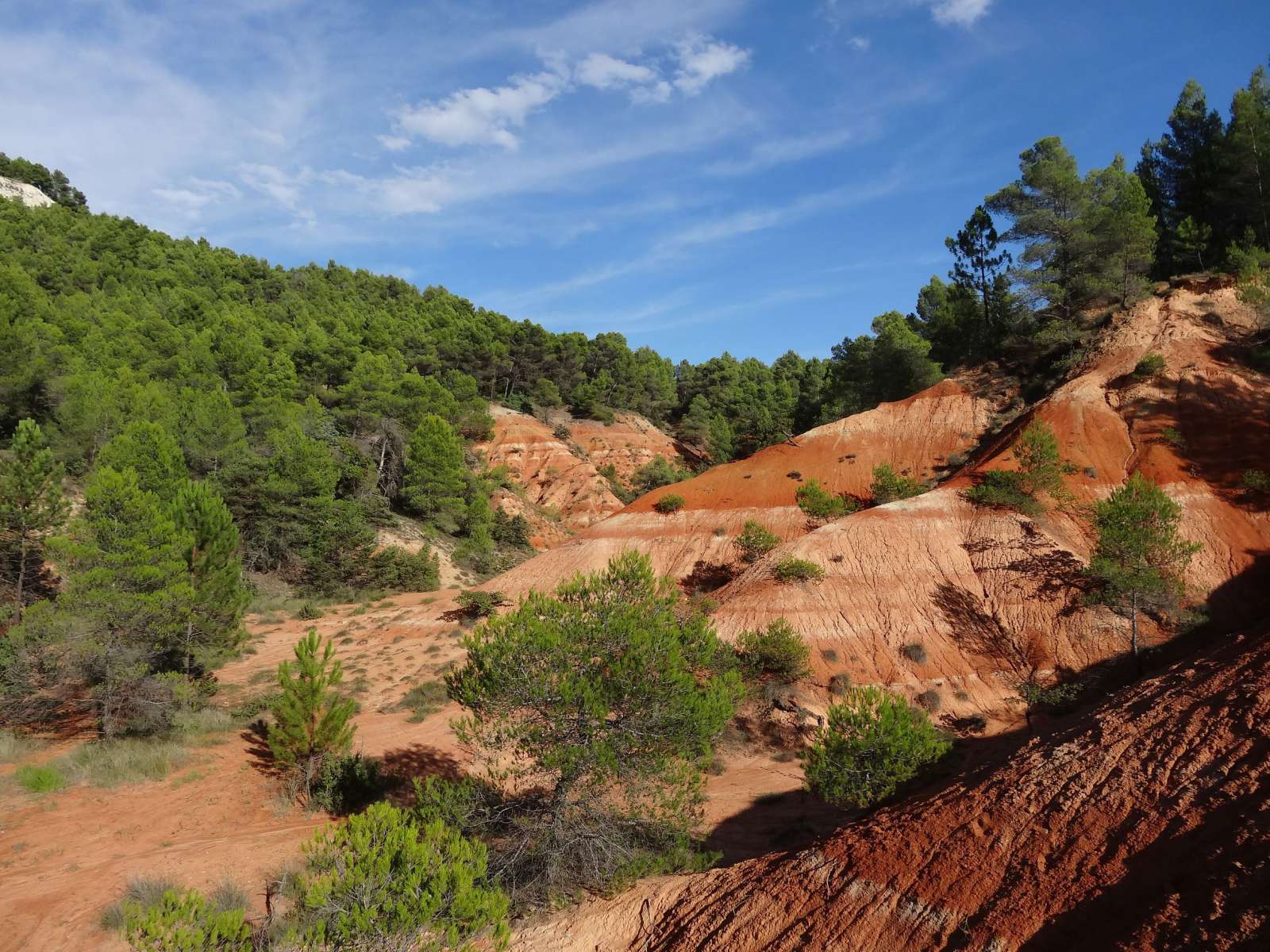
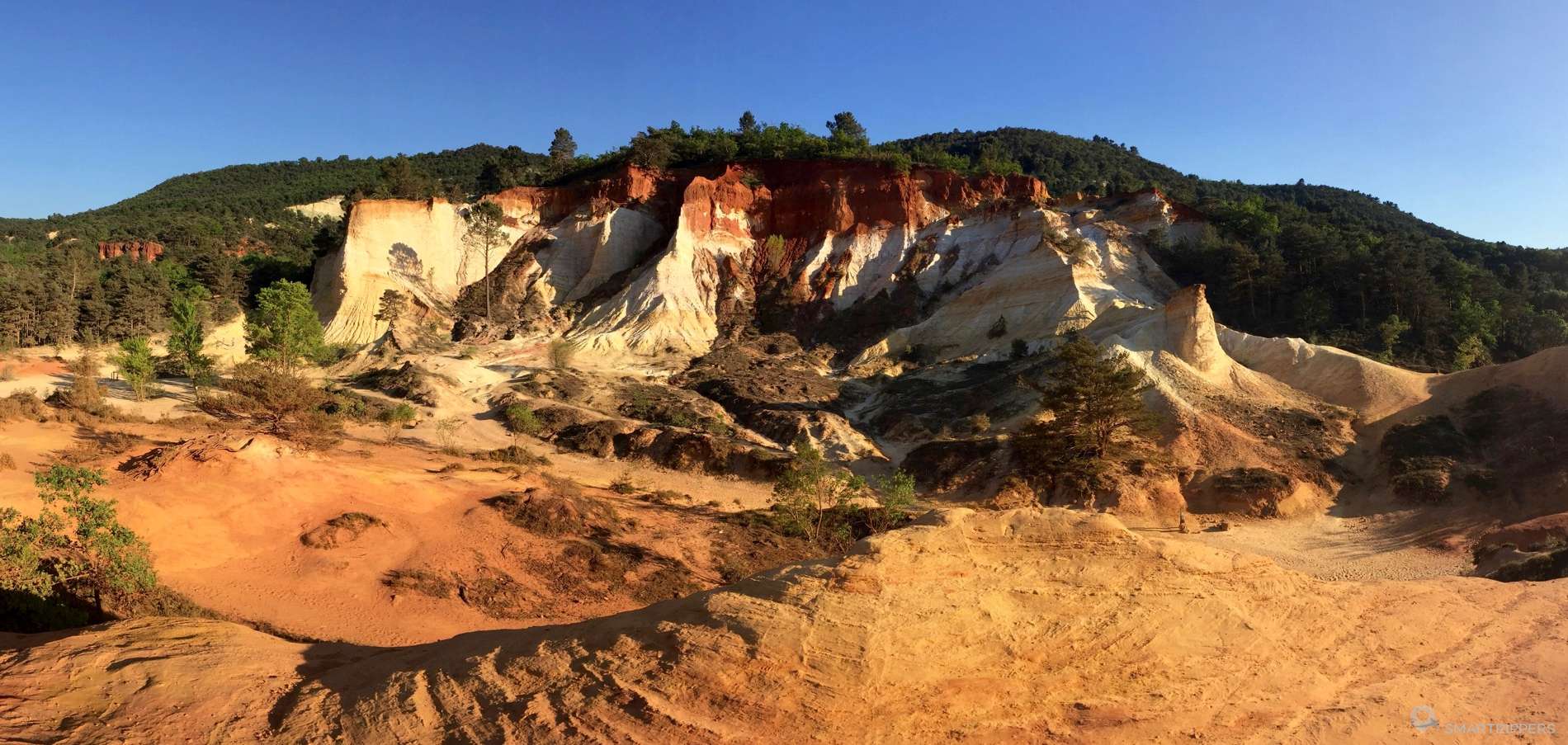
Short walk in the Colorado Provençal, whose incredible colors recall the American canyons. These landscapes are the result of old ocher quarries and natural erosion.

Already more than 200,000 users!
Uphill
131m
Highest point
436m
Downhill
131m
Lowest point
348m
Route type
Loop
Download the map on your smartphone to save battery and rest assured to always keep access to the route, even without signal.
Includes IGN France and Swisstopo.
I indicate whether dogs are allowed or prohibited on this trail
All year
1 rating
Also enjoy:

Already more than 200,000 users!