Uphill
323m
Length
7km
Duration
2h30min
Elev gain
323m
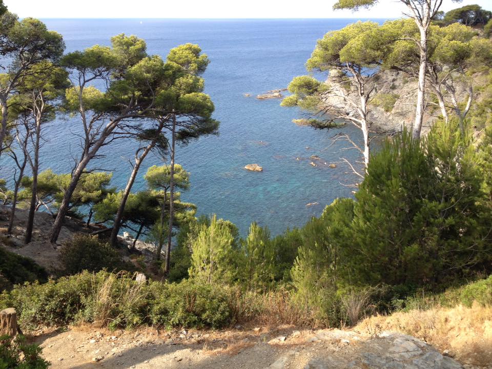
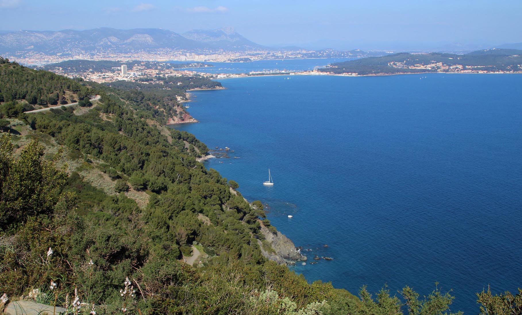
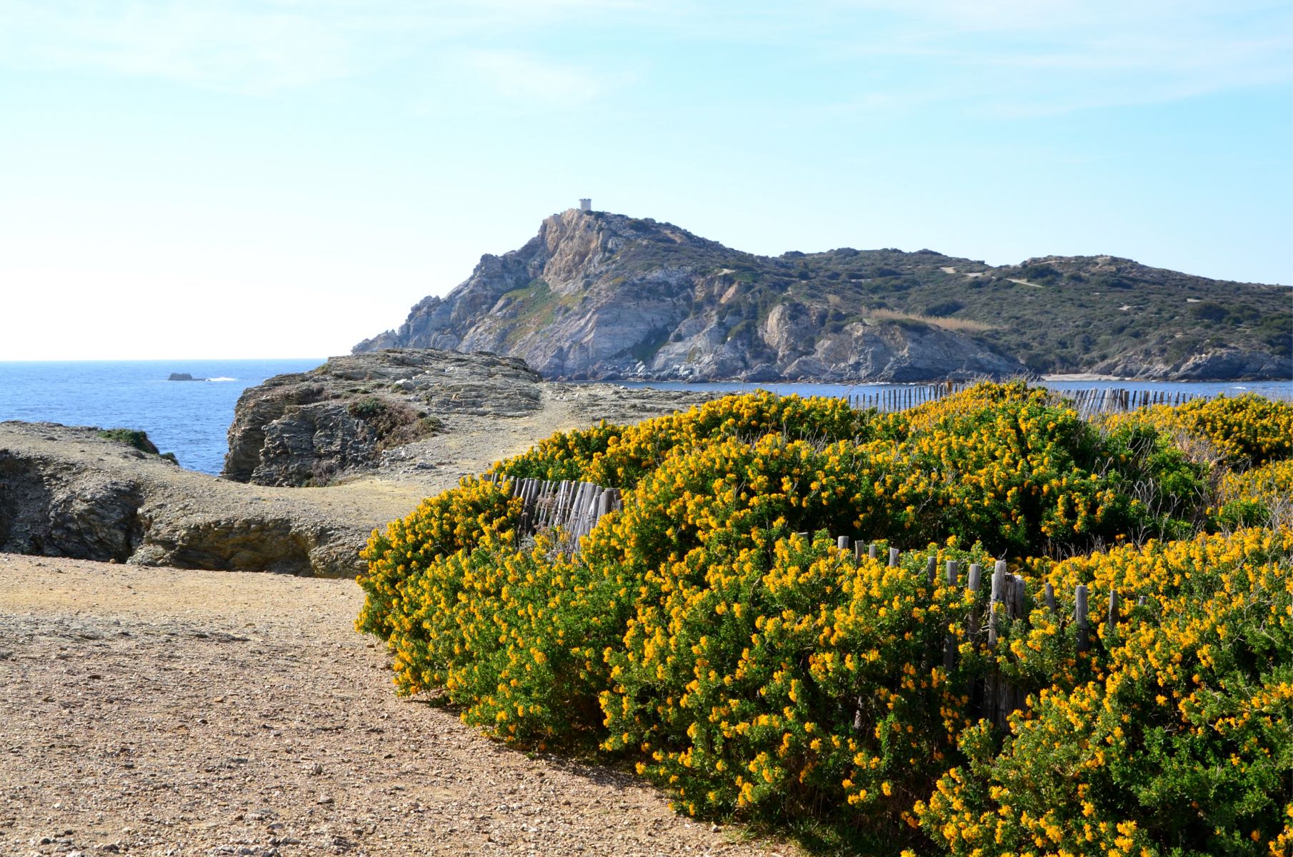
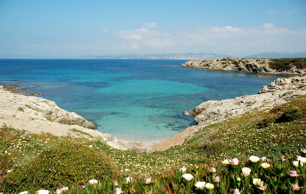
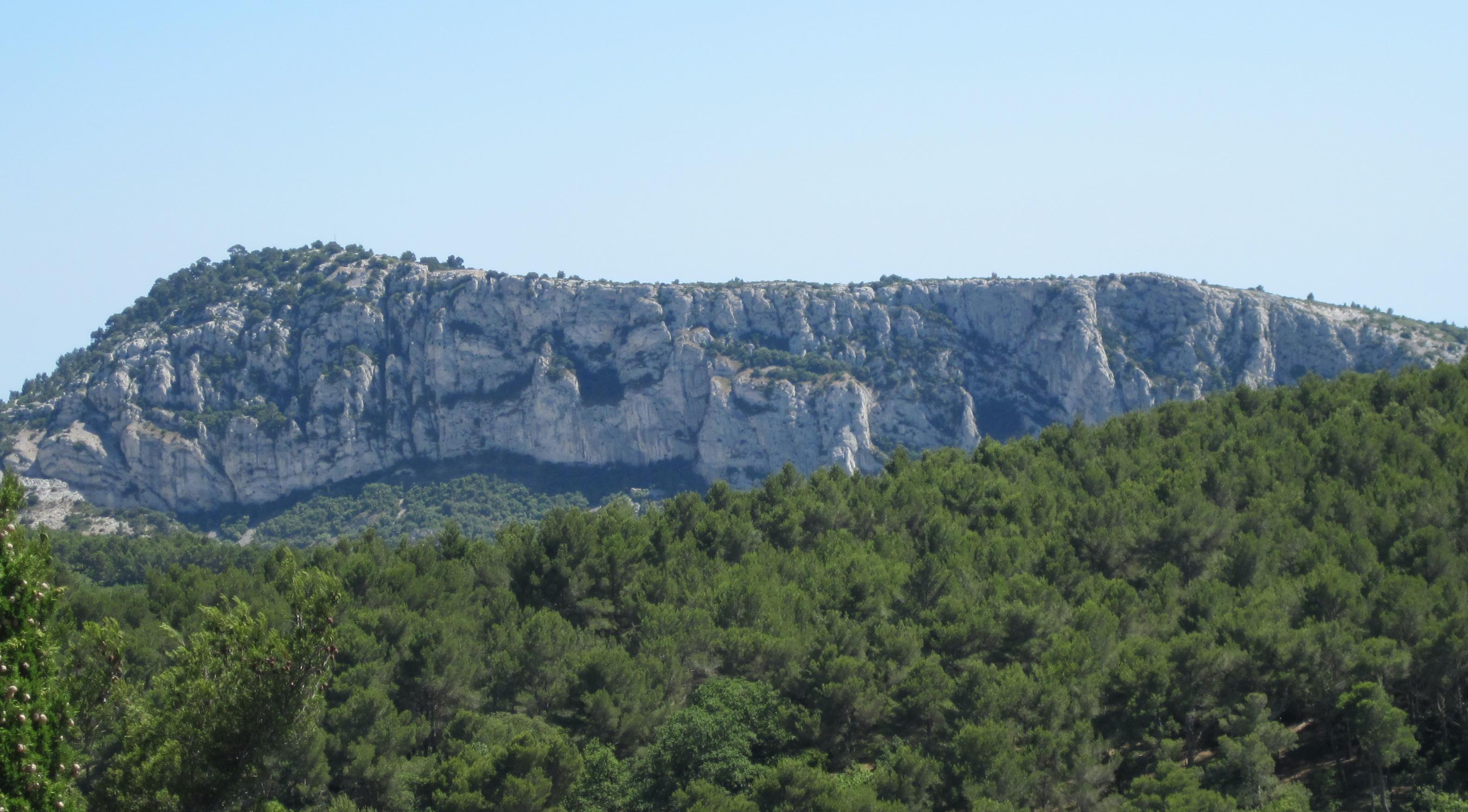
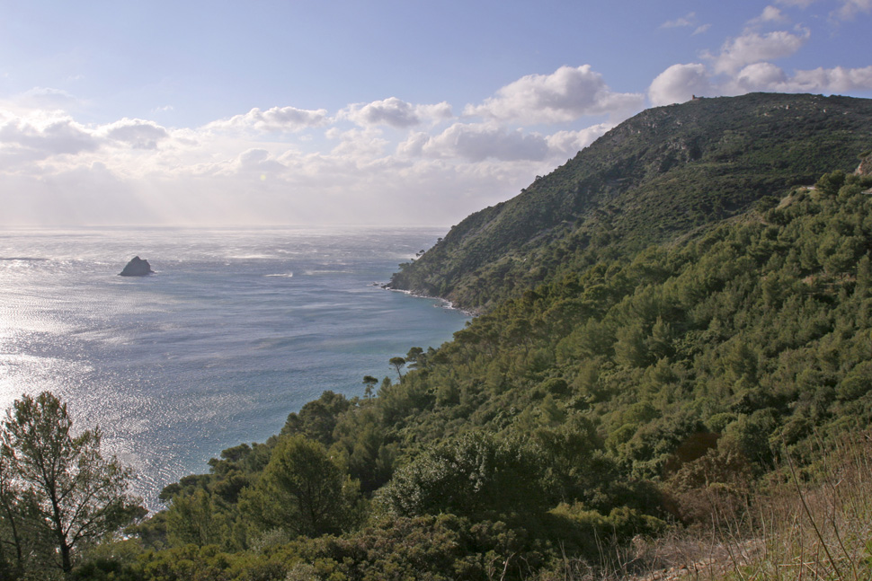
This walk takes place on steep and rocky paths overlooking the sea, in the heart of the magnificent Cap Sicié. The path passes in particular by an orientation table and by the chapel of Notre-Dame du Mai.

Already more than 200,000 users!
Uphill
323m
Highest point
350m
Downhill
323m
Lowest point
82m
Route type
Loop
Download the map on your smartphone to save battery and rest assured to always keep access to the route, even without signal.
Includes IGN France and Swisstopo.
I indicate whether dogs are allowed or prohibited on this trail
All year
2 ratings
Also enjoy:

Already more than 200,000 users!