Uphill
626m
Length
15km
Duration
5h30min
Elev gain
626m
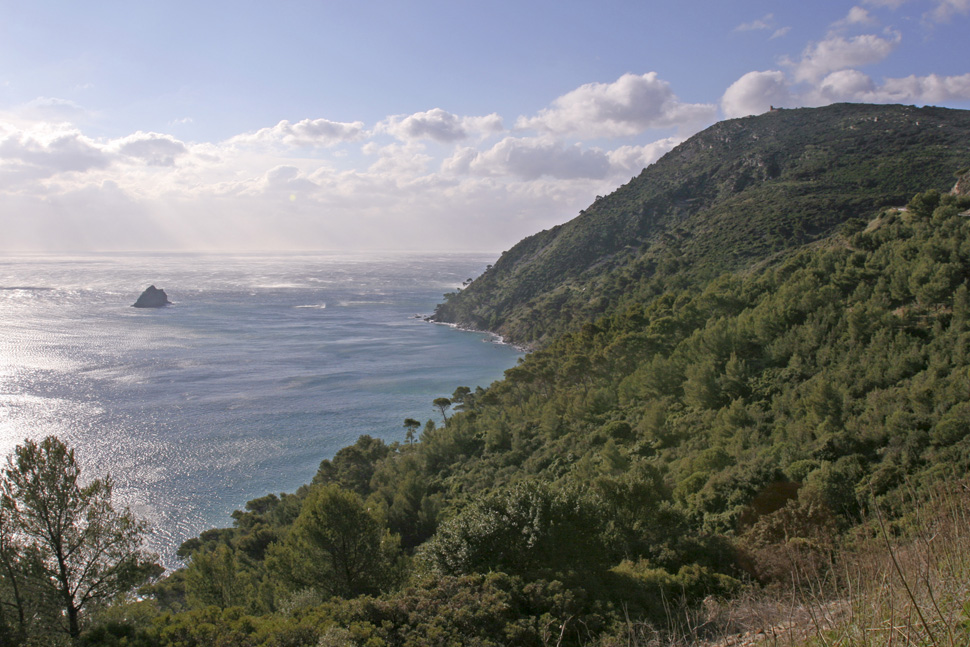
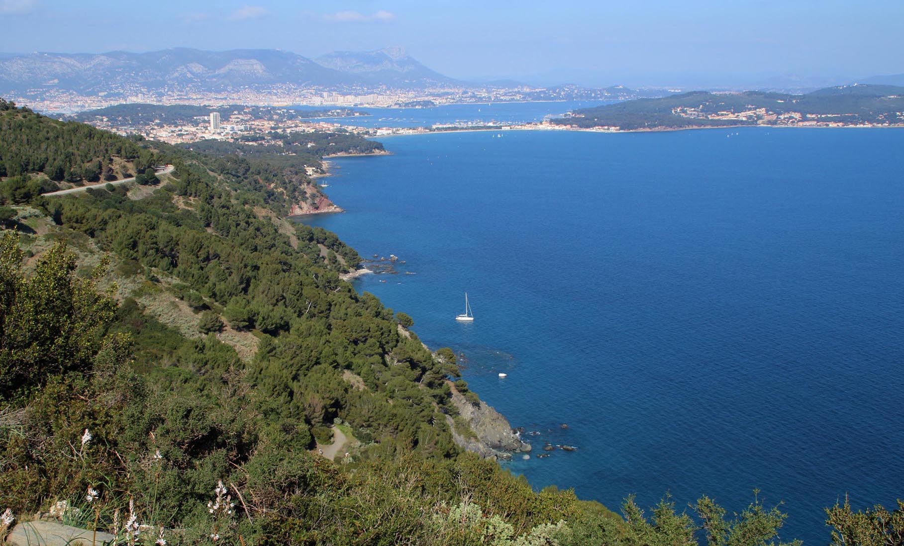
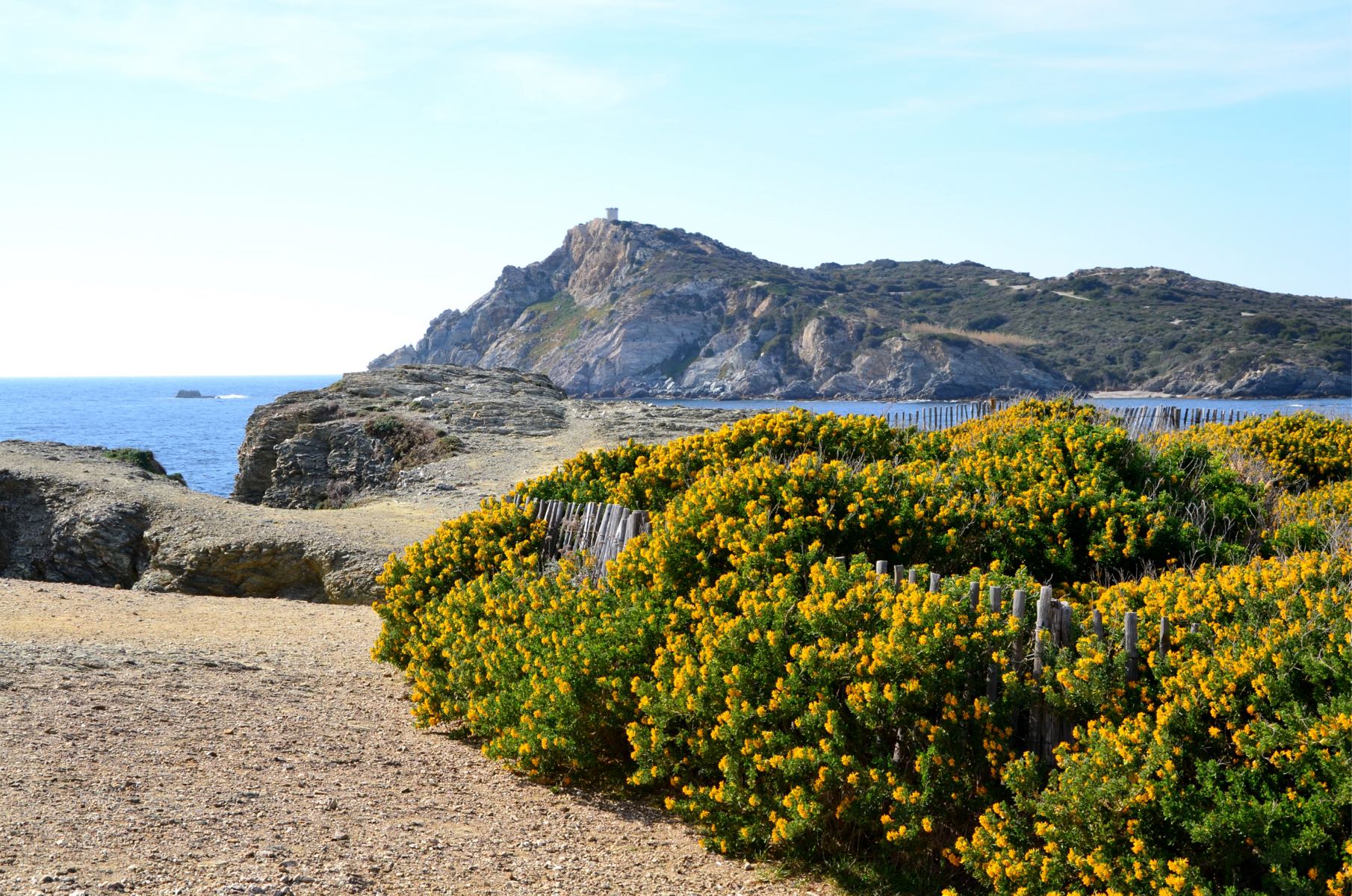
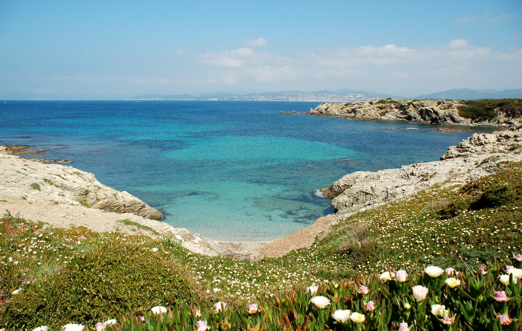
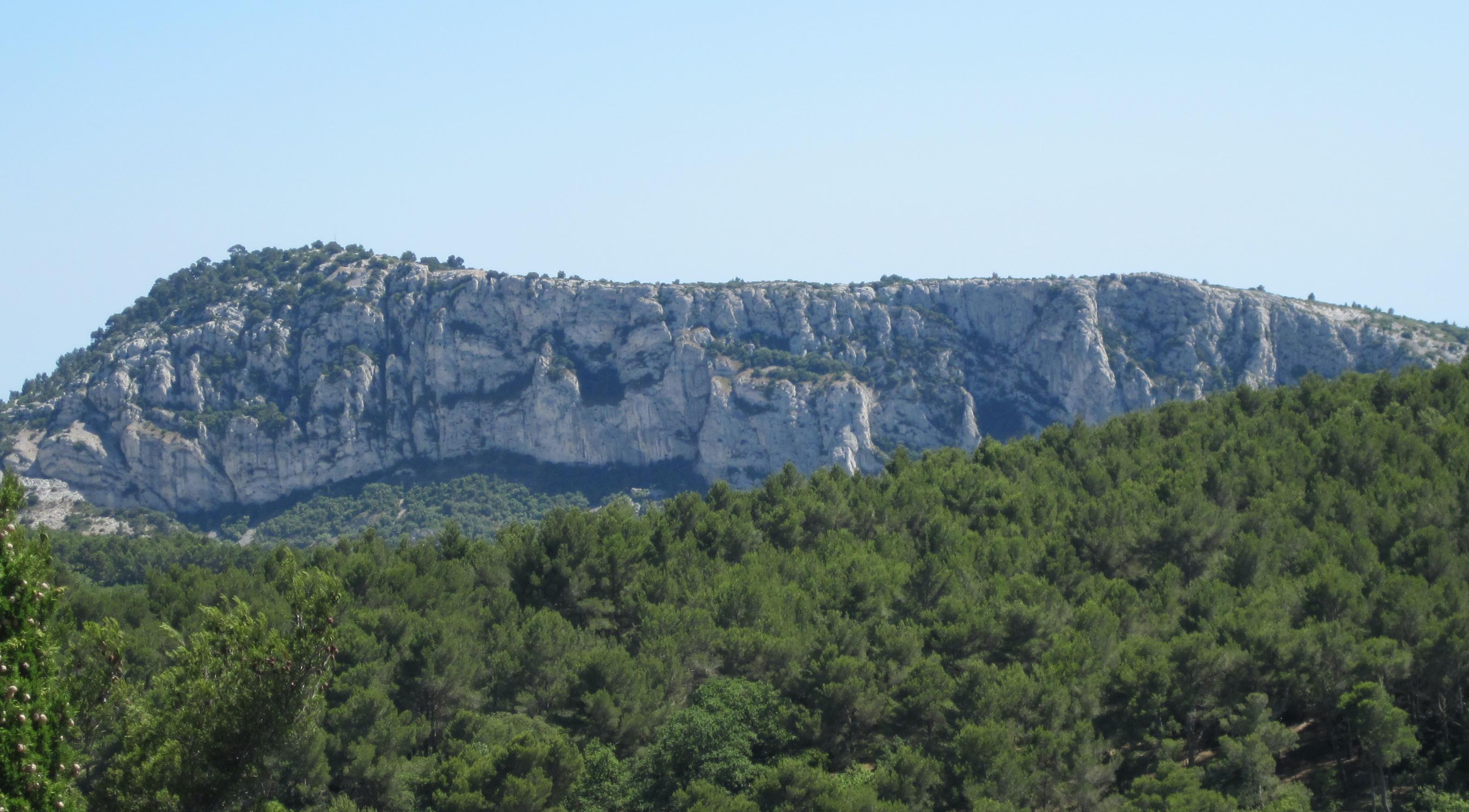
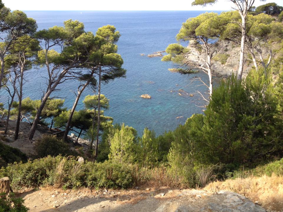
A longer variant to discover Cap Sicié, and its beautiful trails overlooking the Mediterranean Sea.

Already more than 200,000 users!
Uphill
626m
Highest point
351m
Downhill
626m
Lowest point
54m
Route type
Loop
Download the map on your smartphone to save battery and rest assured to always keep access to the route, even without signal.
Includes IGN France and Swisstopo.
I indicate whether dogs are allowed or prohibited on this trail
All year
0 ratings
Also enjoy:

Already more than 200,000 users!