Uphill
45m
Length
6km
Duration
1h30min
Elev gain
45m
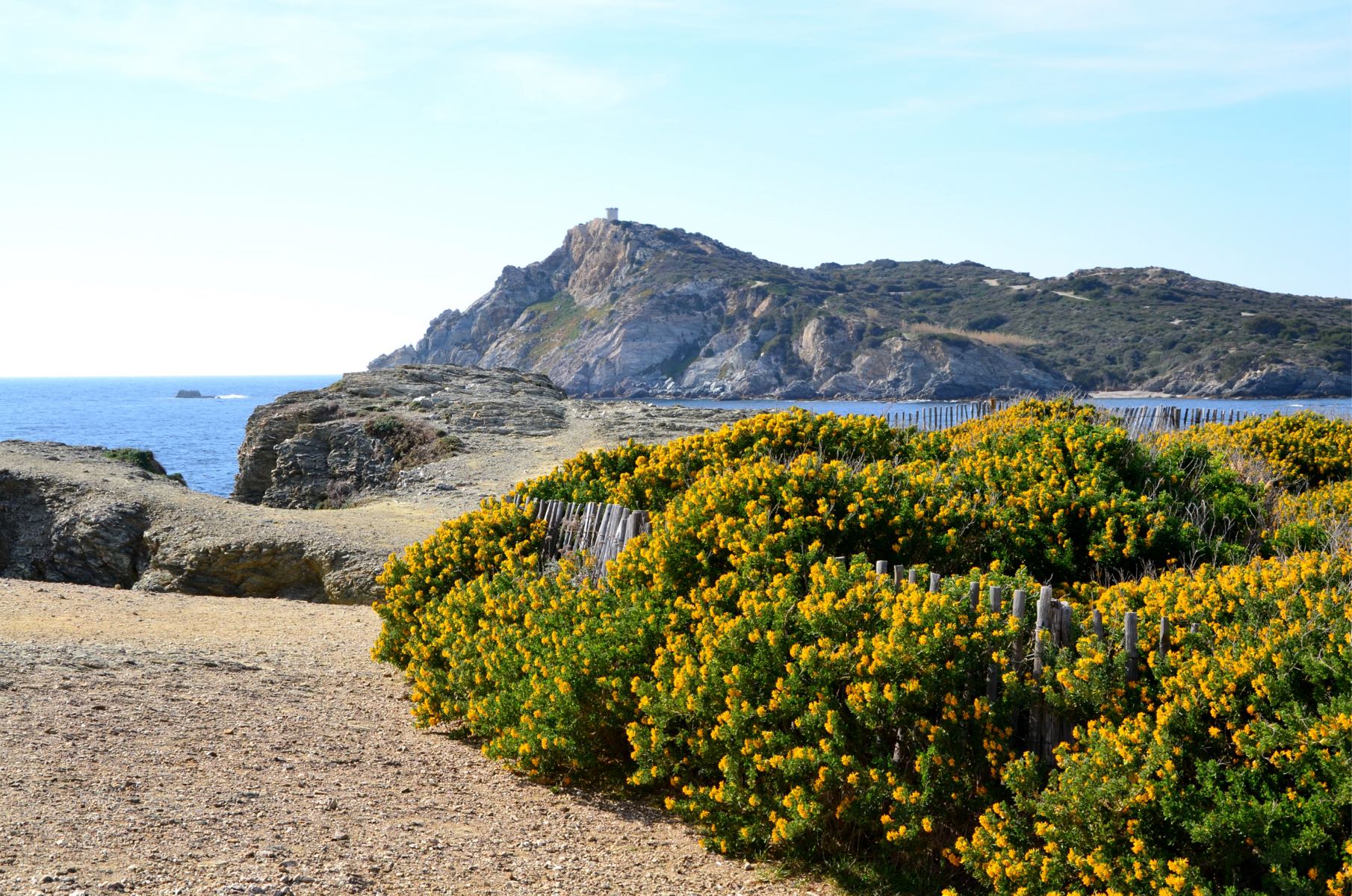
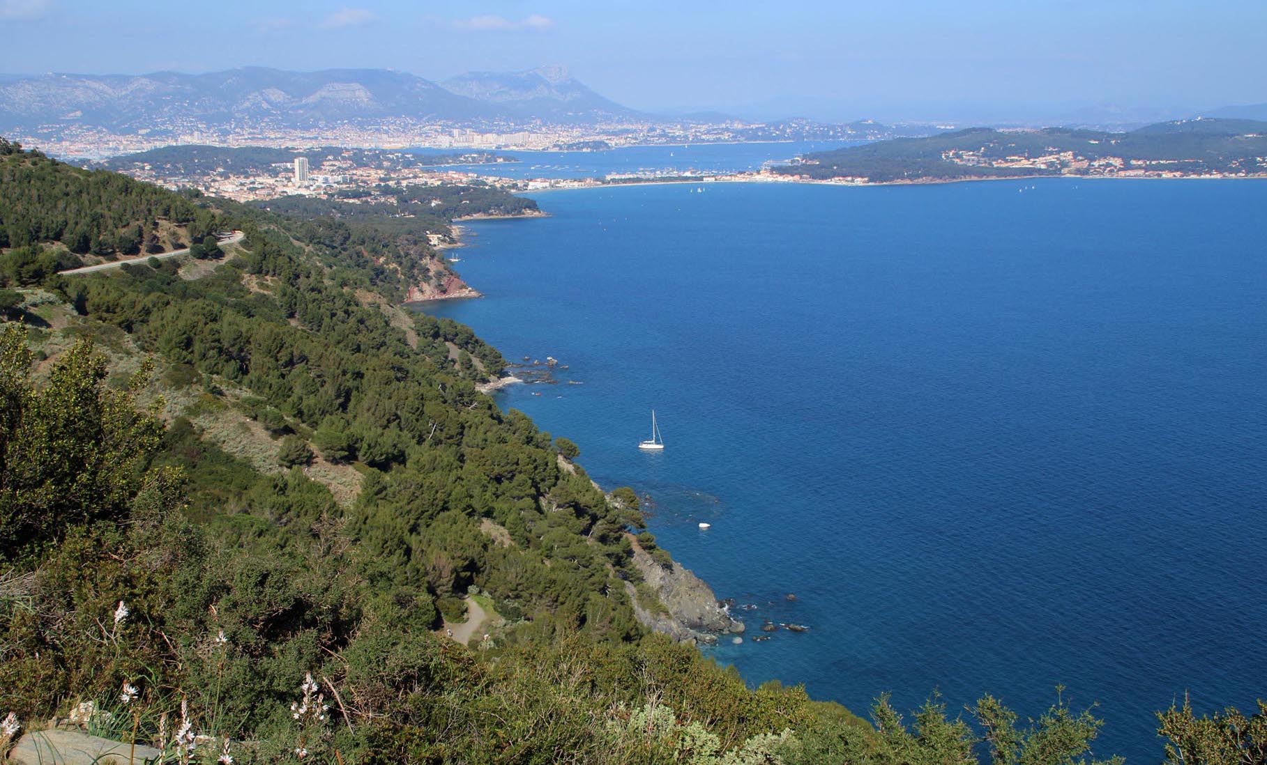
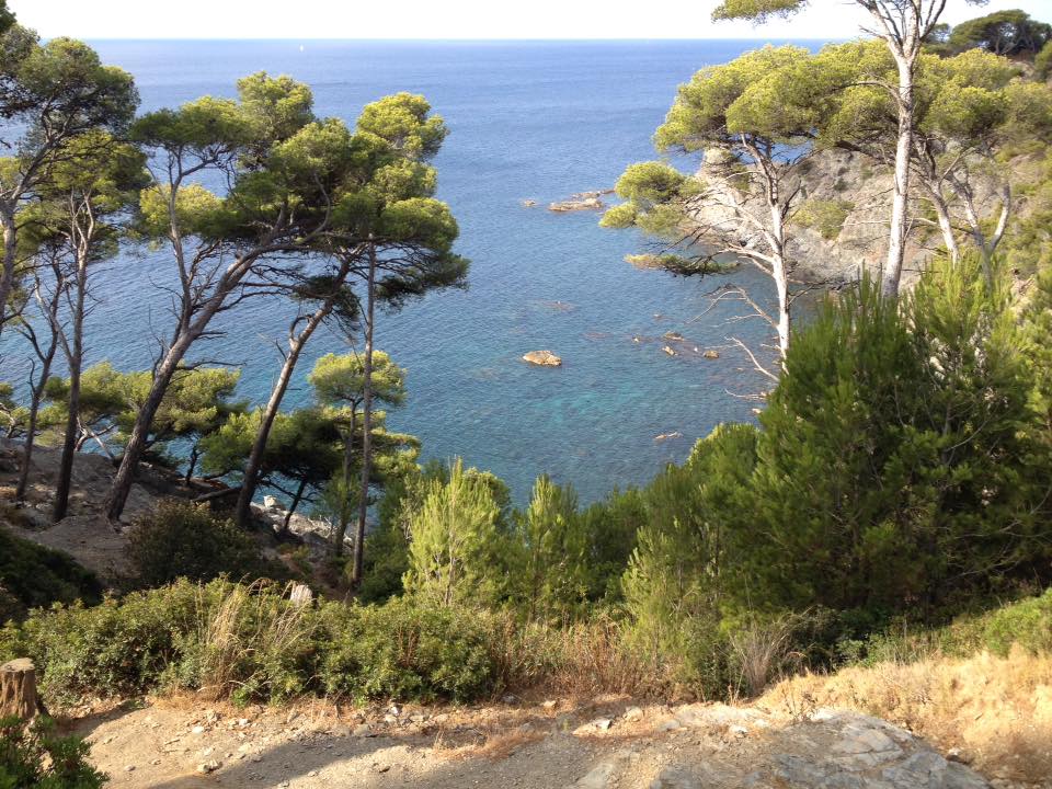
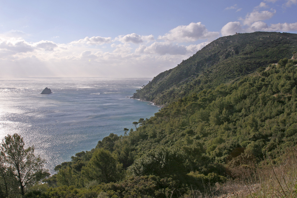
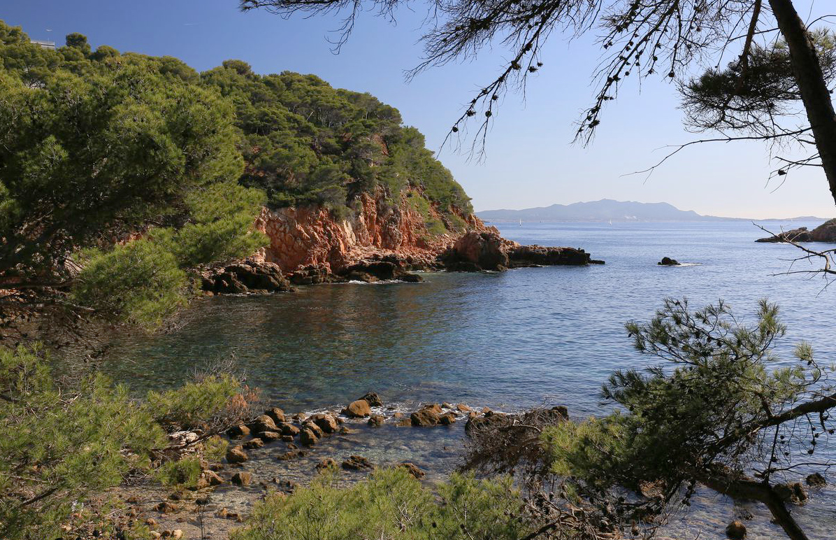
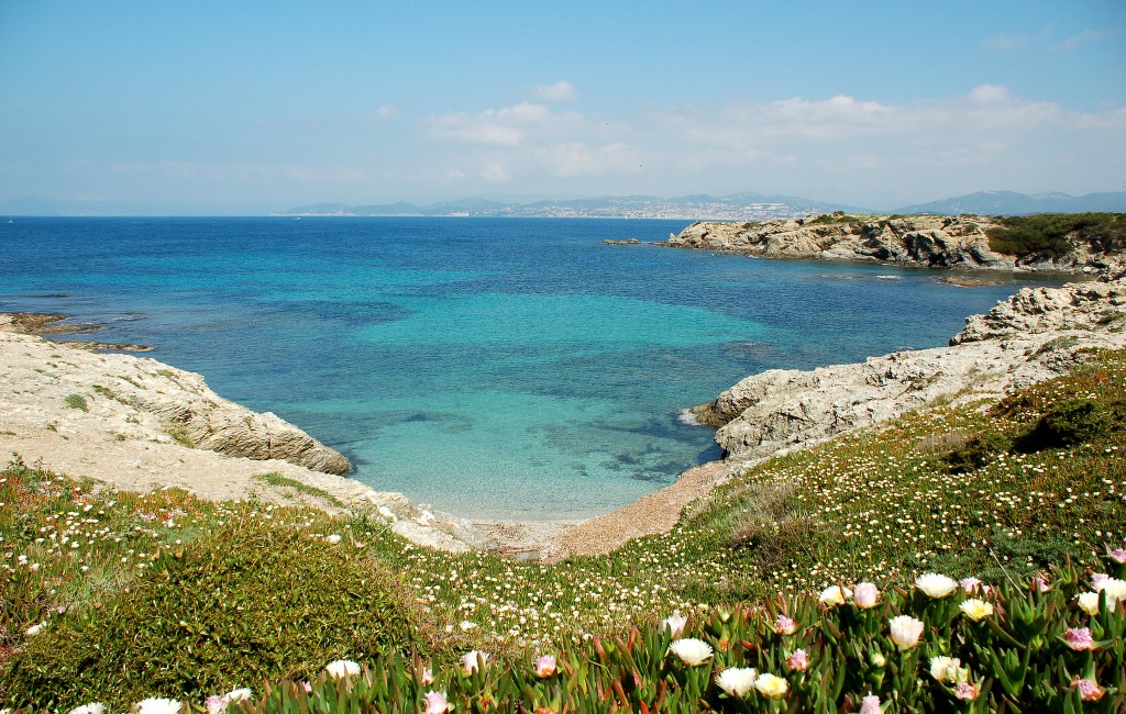
Tour of the island of Embiez, a small corner of the Mediterranean Sea which is reminiscent of Brittany and its rocky coast. We appreciate its wild aspect and the variety of landscapes: creeks, reefs, pine forest, scrubland, flowers and vines.
The island is owned by the Paul Ricard Foundation.

Already more than 200,000 users!
Uphill
45m
Highest point
31m
Downhill
45m
Lowest point
0m
Route type
Loop
Download the map on your smartphone to save battery and rest assured to always keep access to the route, even without signal.
Includes IGN France and Swisstopo.
I indicate whether dogs are allowed or prohibited on this trail
All year
1 rating
Also enjoy:

Already more than 200,000 users!