Uphill
45m
Length
8km
Duration
2h
Elev gain
45m
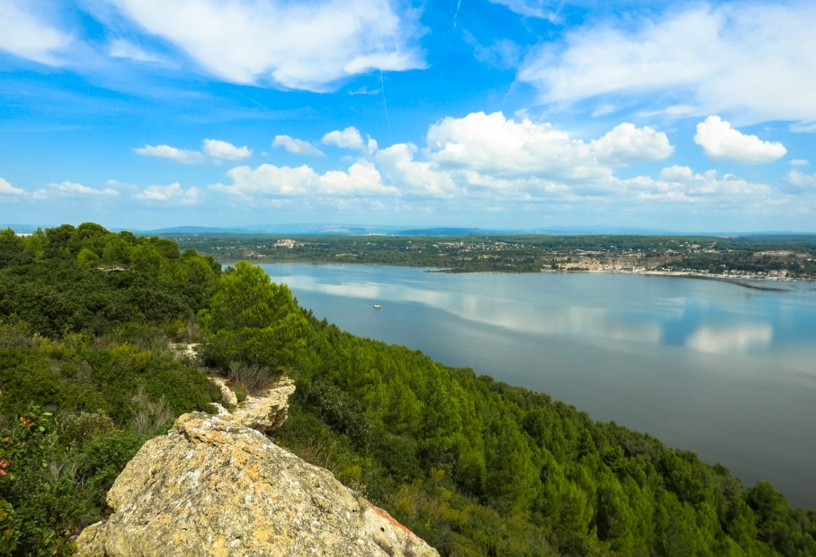
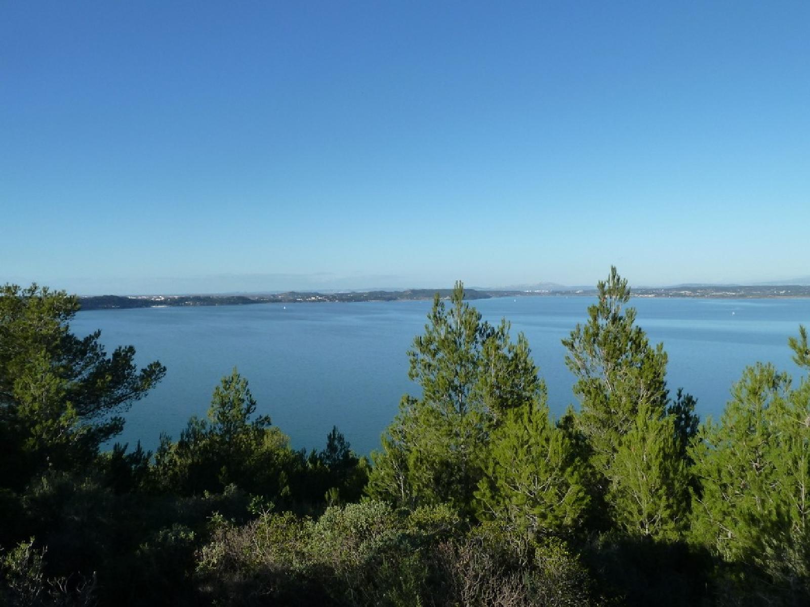
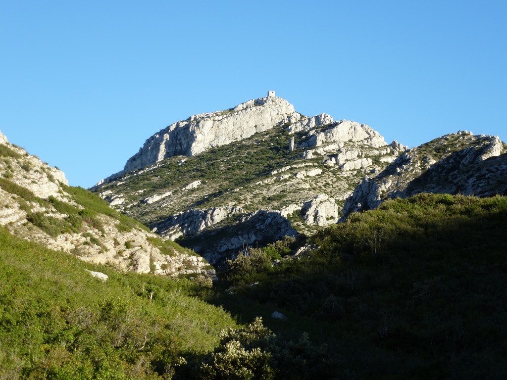
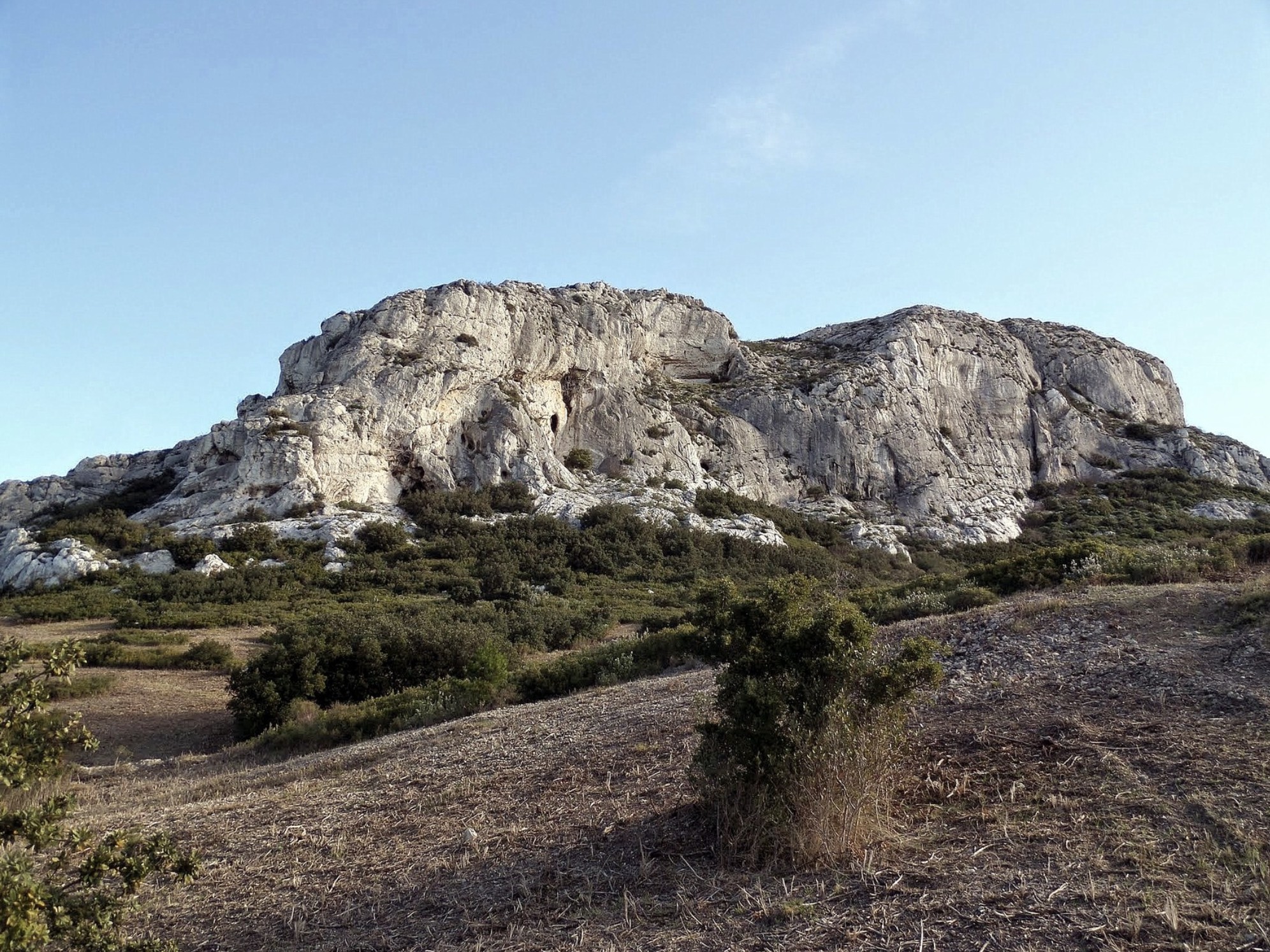
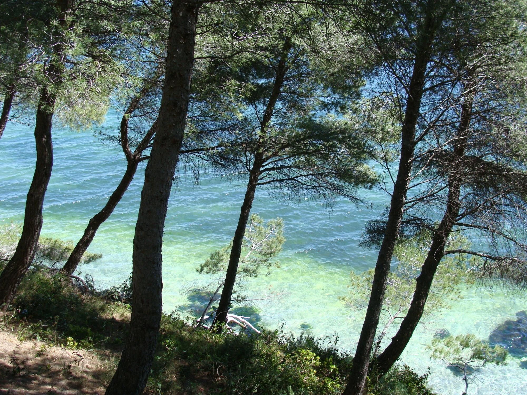
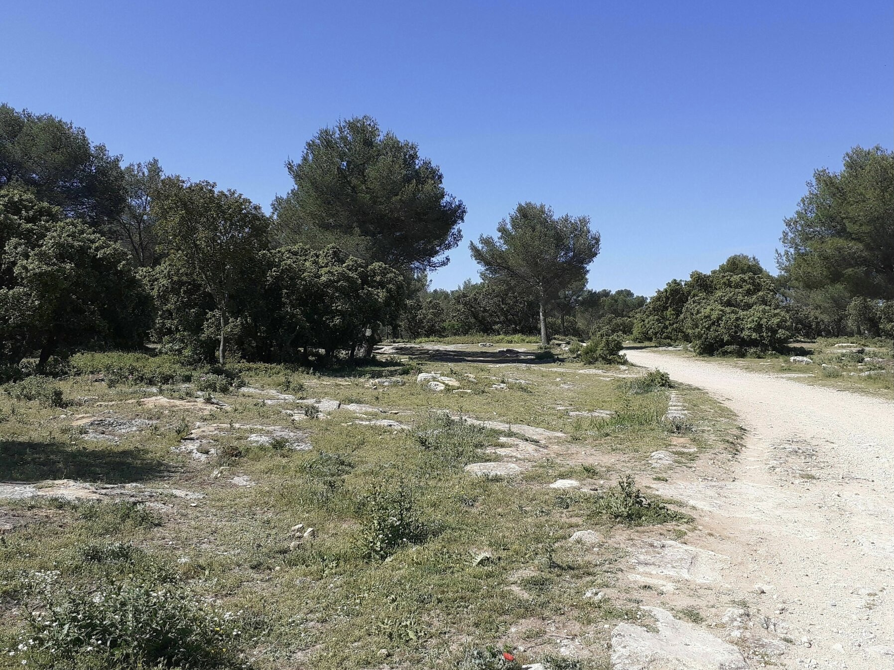
Walk in the forest near Grans, on wide stony and generally shaded tracks. A calm and easy outing.

Already more than 200,000 users!
Uphill
45m
Highest point
86m
Downhill
40m
Lowest point
58m
Route type
Loop
Download the map on your smartphone to save battery and rest assured to always keep access to the route, even without signal.
Includes IGN France and Swisstopo.
I indicate whether dogs are allowed or prohibited on this trail
All year
3 ratings
Also enjoy:

Already more than 200,000 users!