Uphill
70m
Length
6km
Duration
1h30min
Elev gain
70m
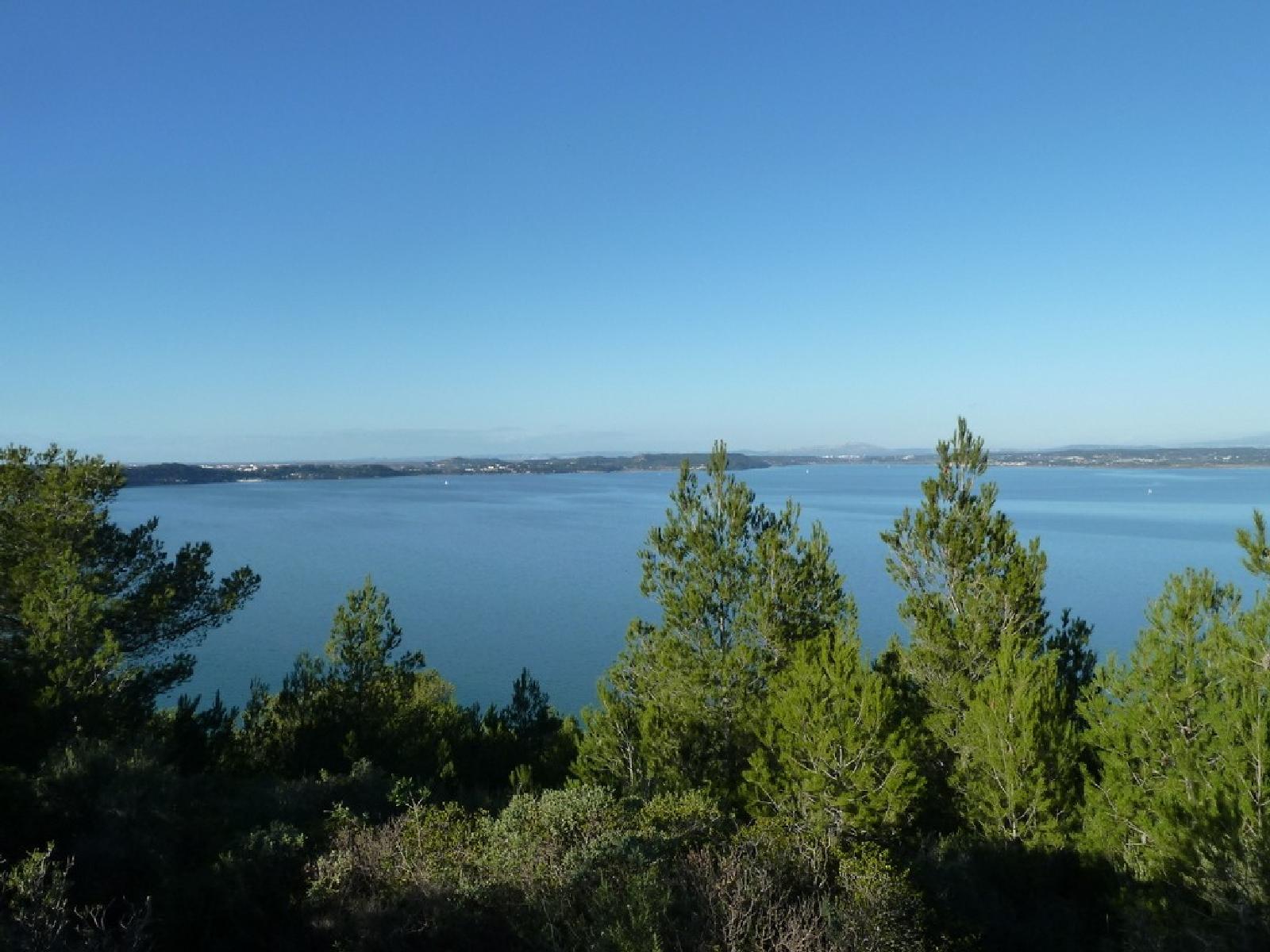
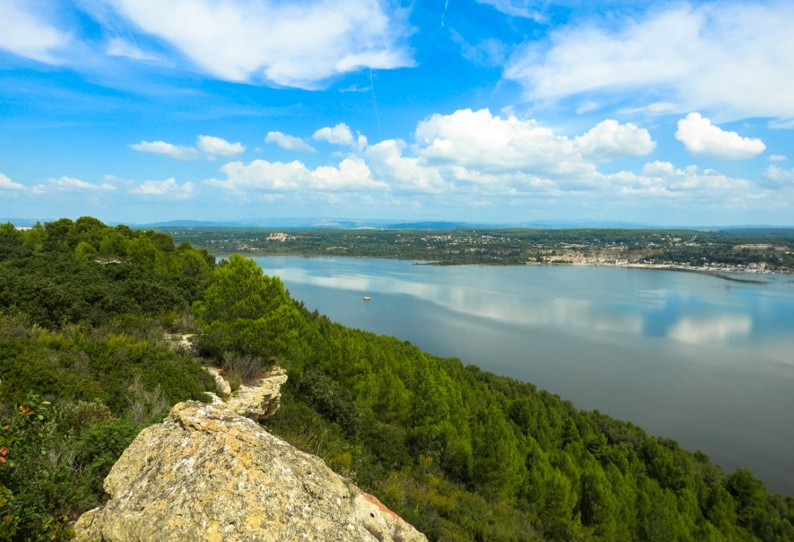
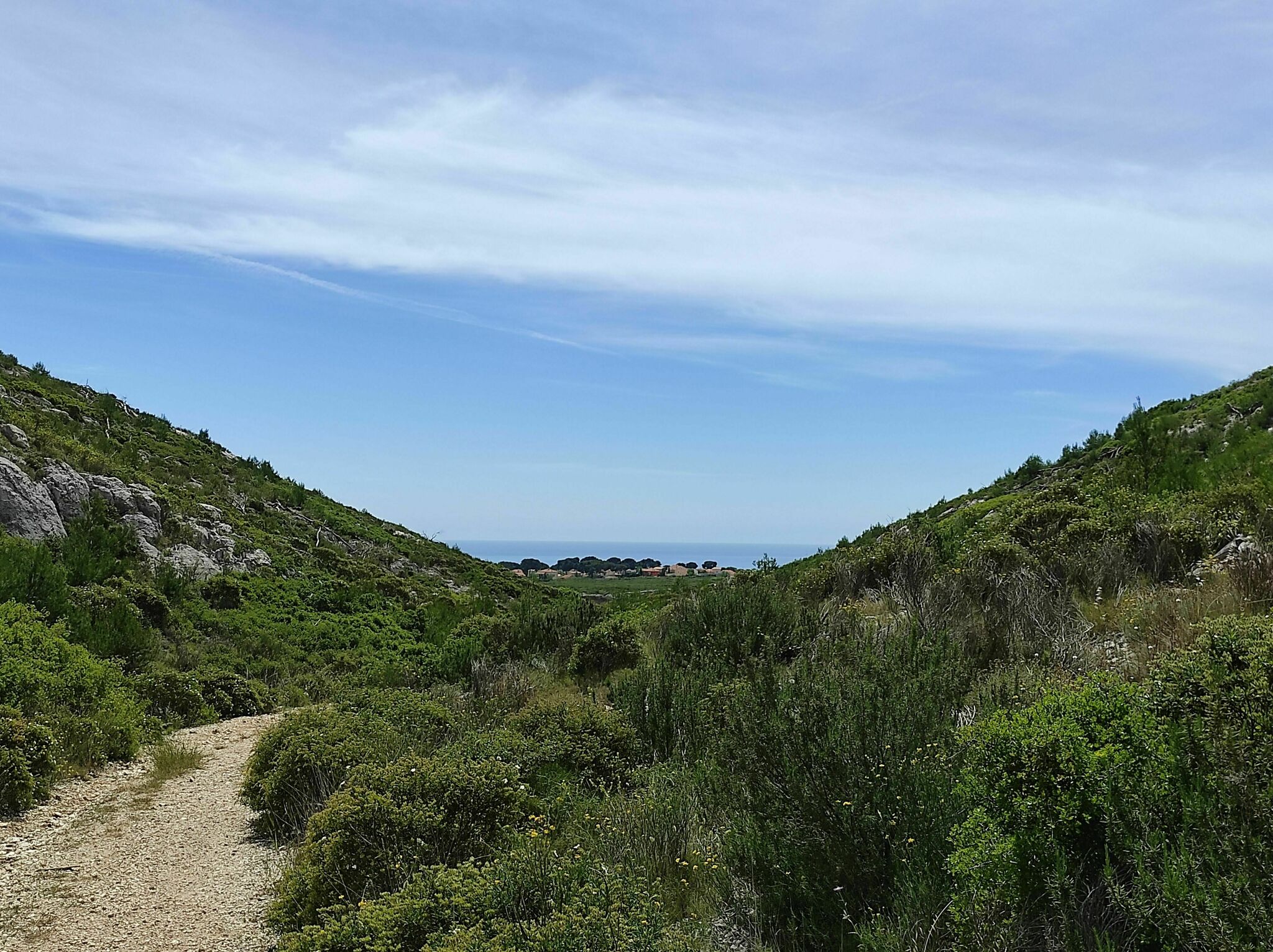
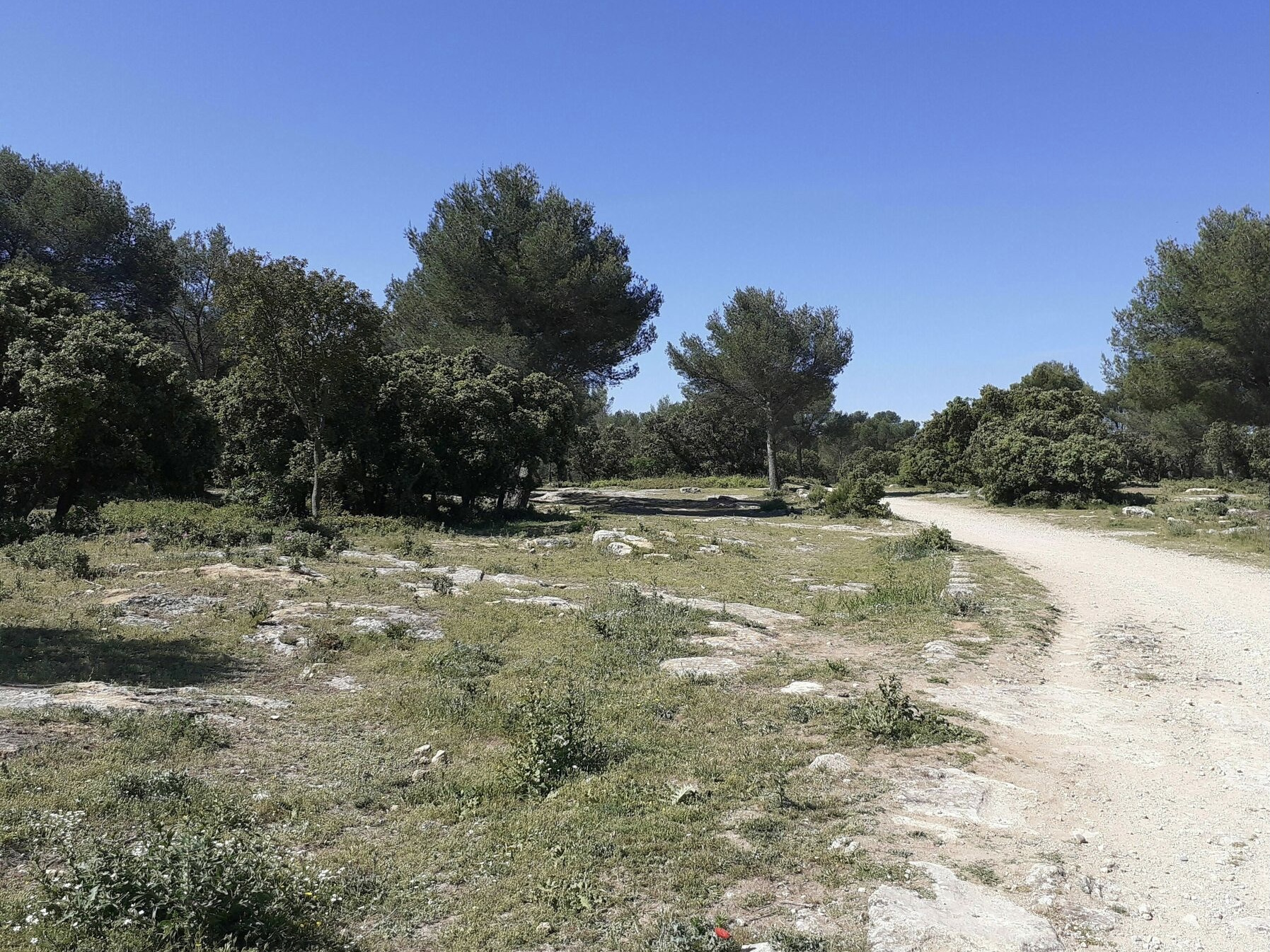
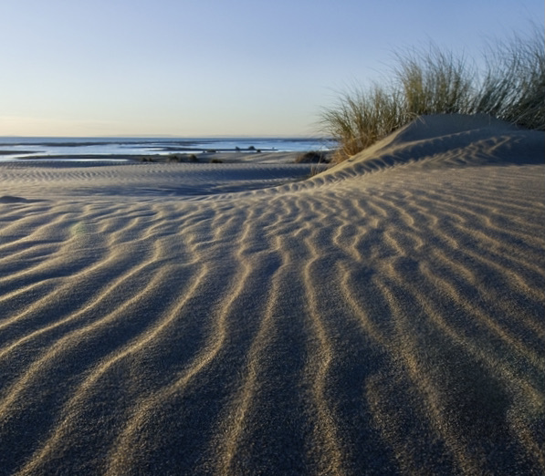
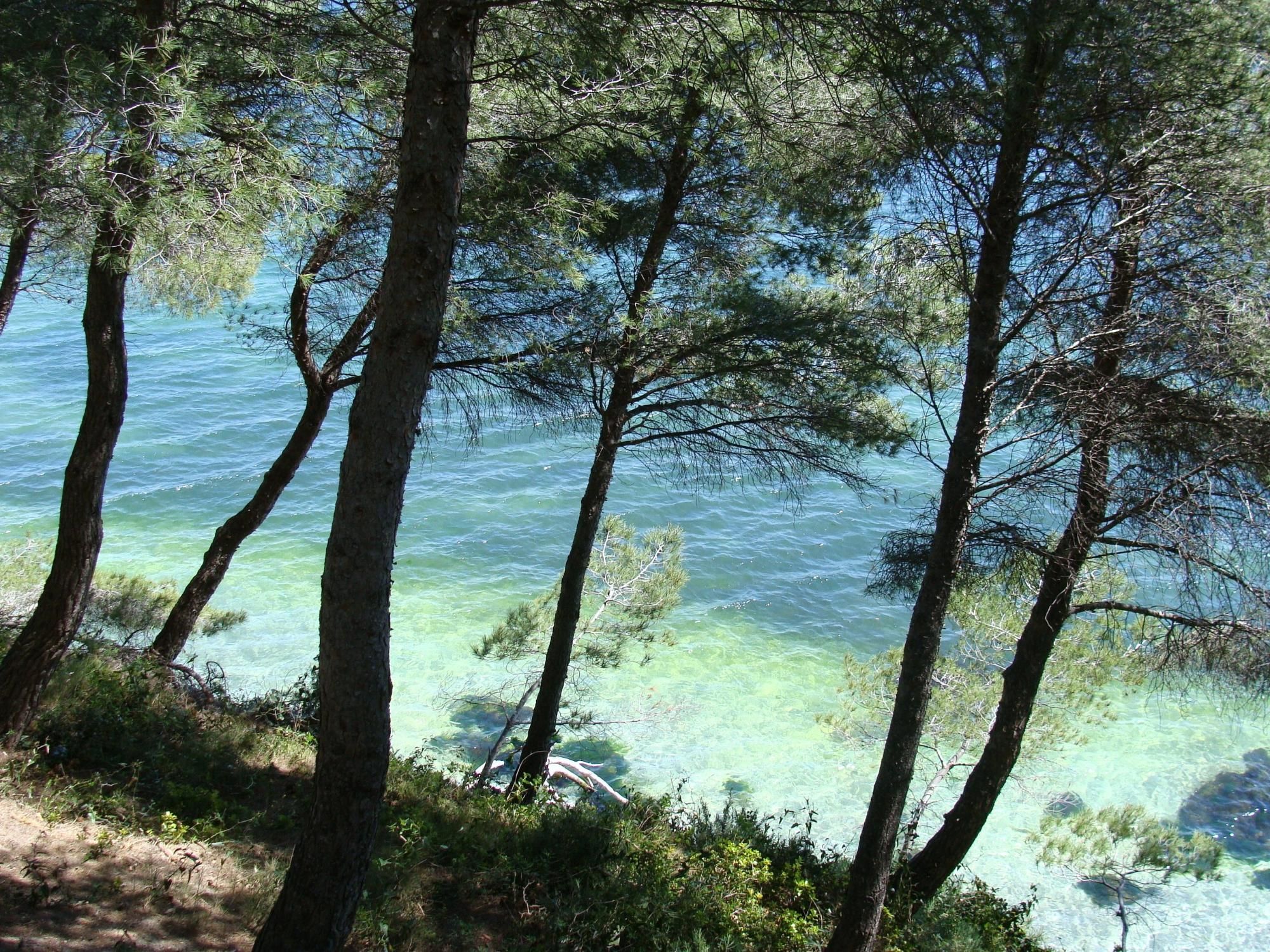
Walk in the Figuerolles park in Martigues. The trail mainly crosses wooded areas, and joins the large beach of the Etang de Berre as well as the hills overlooking the water.

Already more than 200,000 users!
Uphill
70m
Highest point
71m
Downhill
70m
Lowest point
8m
Route type
Loop
Download the map on your smartphone to save battery and rest assured to always keep access to the route, even without signal.
Includes IGN France and Swisstopo.
I indicate whether dogs are allowed or prohibited on this trail
All year
3 ratings
Also enjoy:

Already more than 200,000 users!