Uphill
19m
France > Provence-Alpes-Côte d'Azur > Bouches-du-Rhône > Camargue Nature Park
Length
9km
Duration
2h30min
Elev gain
19m
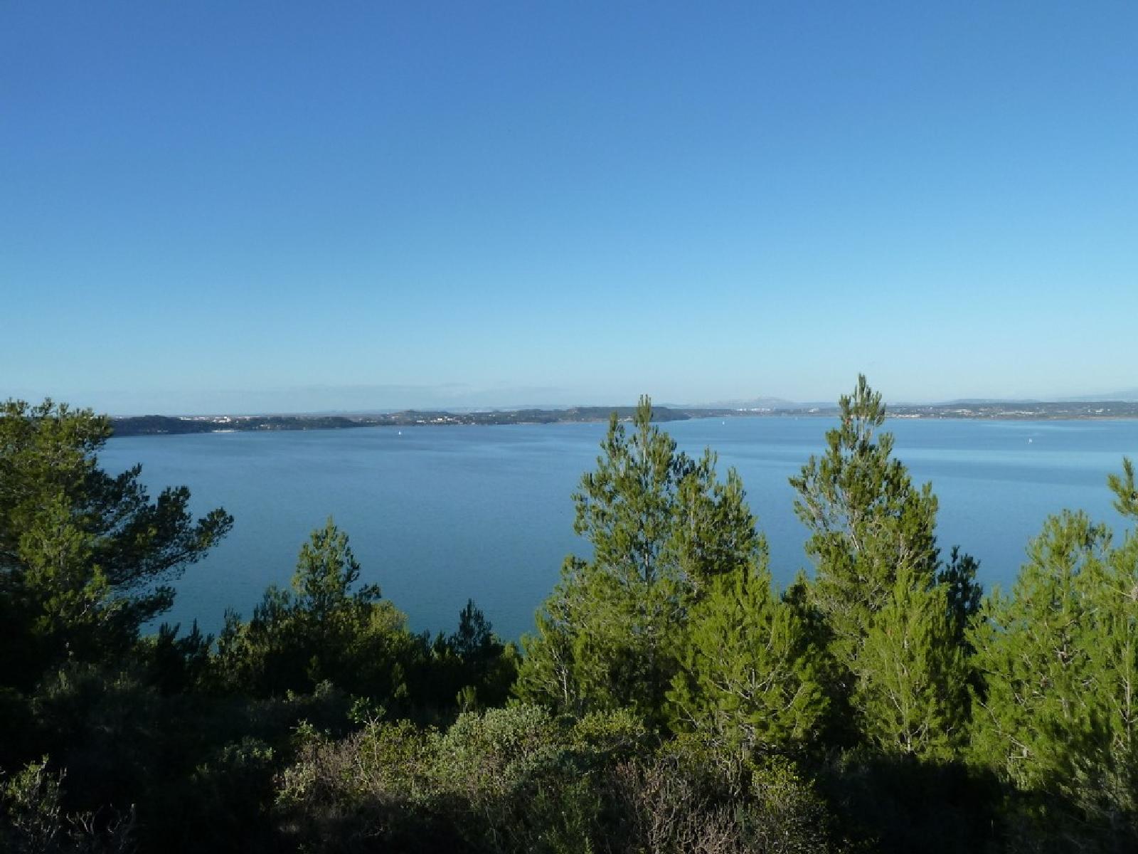
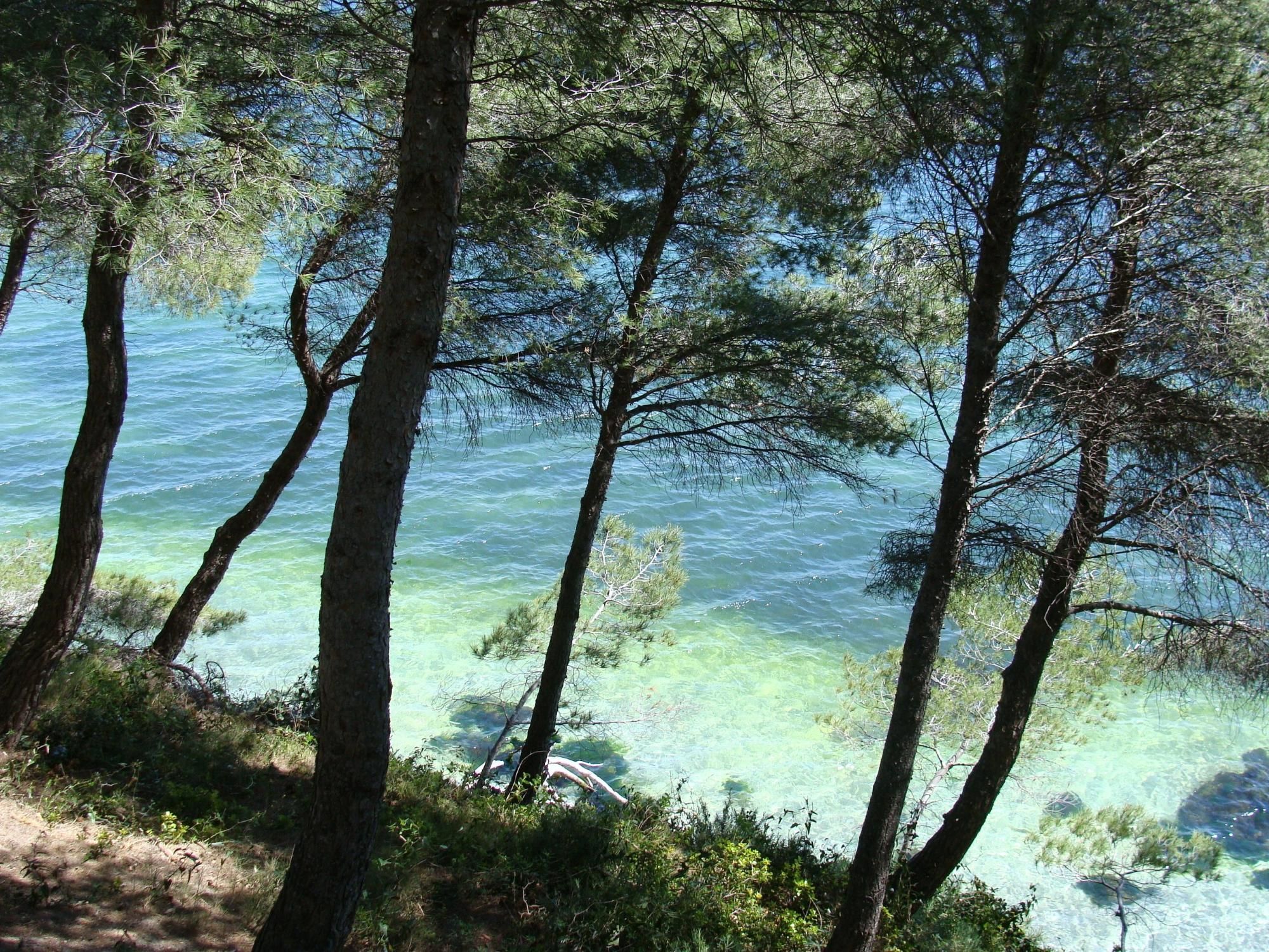
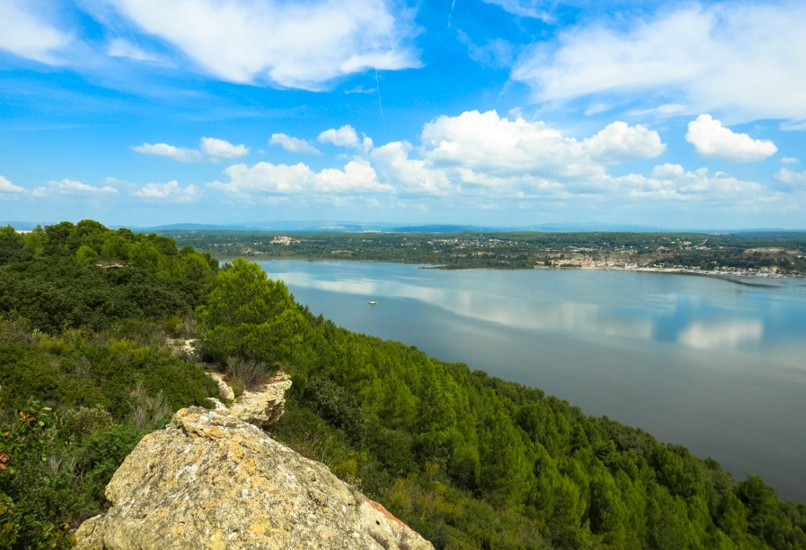
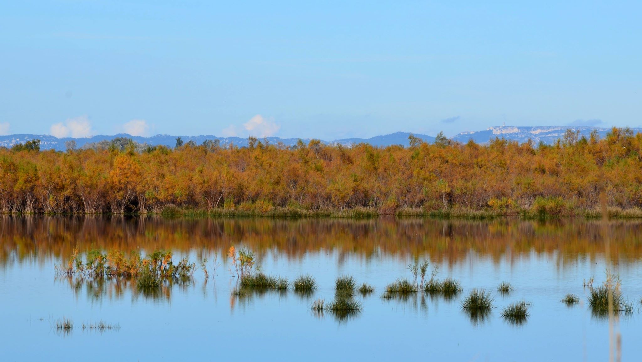
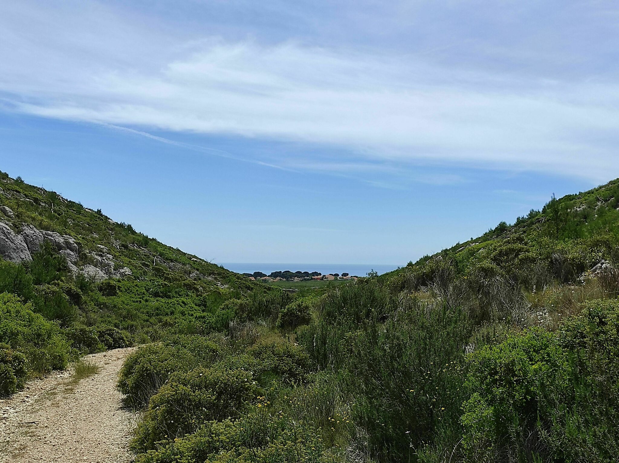
This walk takes place near Port-Saint-Louis-du-Rhône. The route goes back and forth on the They de la Gracieuse, a peninsula between the Anse de Carteau and the Gulf of Fos-sur-Mer, and offers superb landscapes typical of the Camargue.

Already more than 200,000 users!
Uphill
19m
Highest point
12m
Downhill
19m
Lowest point
0m
Route type
There and back
Download the map on your smartphone to save battery and rest assured to always keep access to the route, even without signal.
Includes IGN France and Swisstopo.
I indicate whether dogs are allowed or prohibited on this trail
All year
0 ratings
Also enjoy:

Already more than 200,000 users!