Uphill
0m
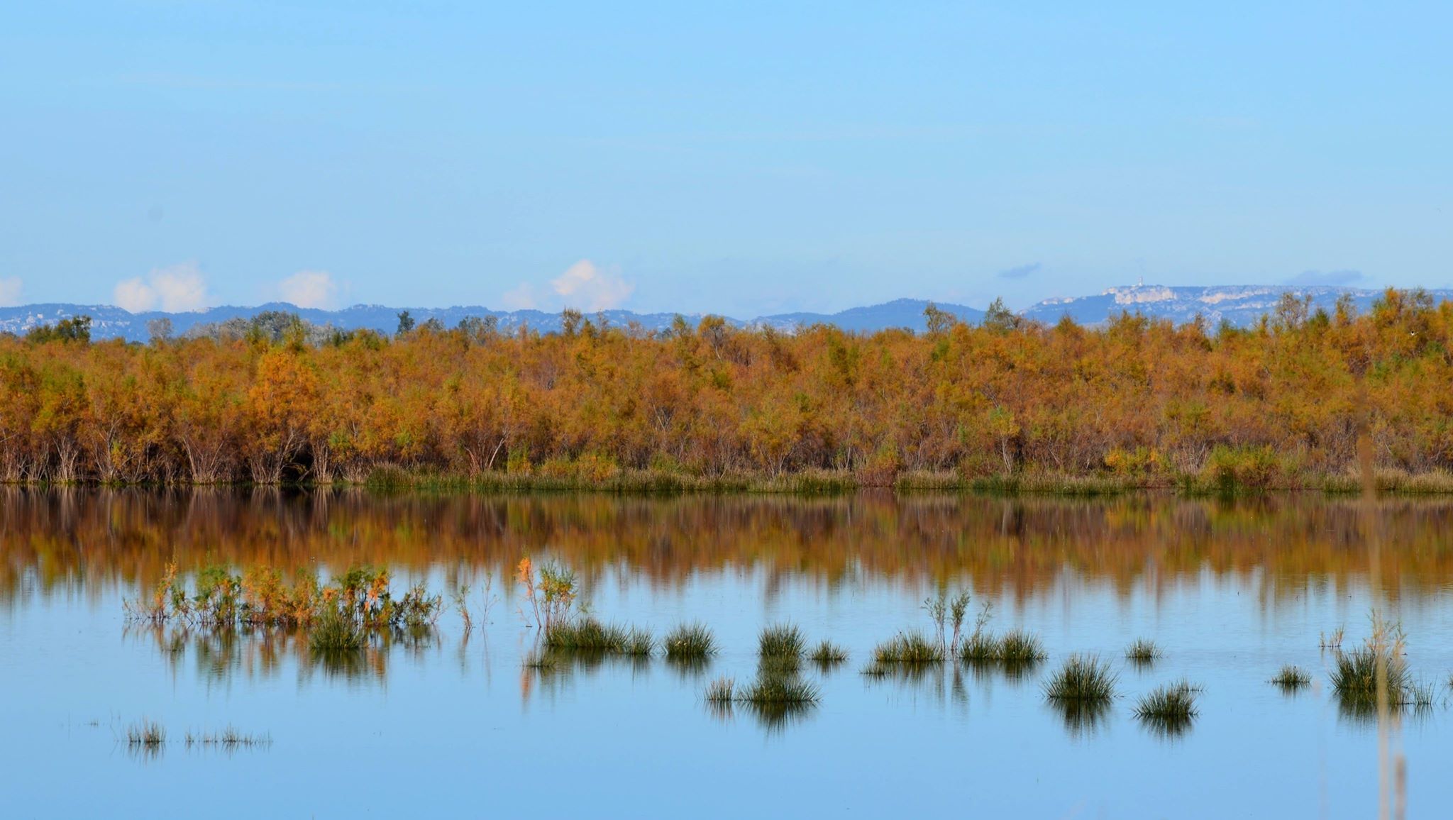
France > Provence-Alpes-Côte d'Azur > Bouches-du-Rhône > Camargue Nature Park
Length
4km
Duration
1h
Elev gain
0m
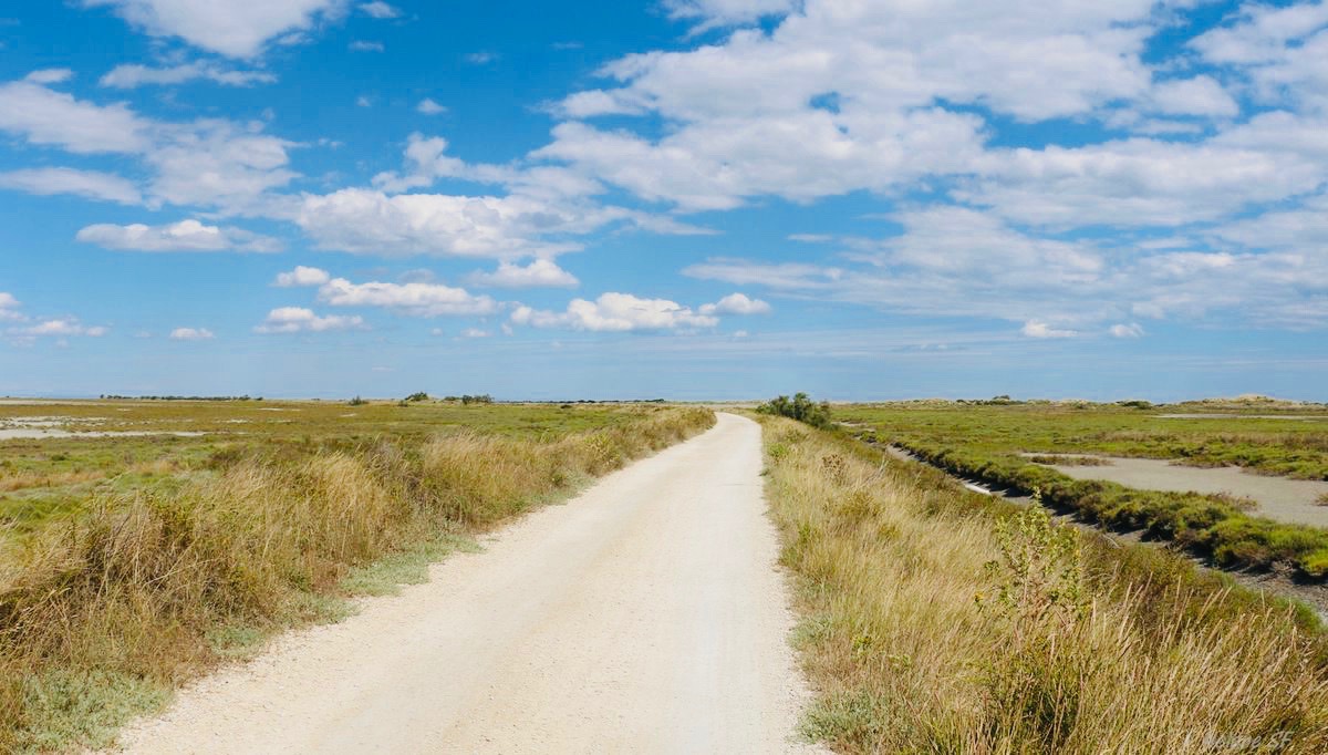
This is a route that is both easy and very pleasant. This walk makes a loop in a pretty setting, around the Verdier marshes.

Already more than 200,000 users!
Uphill
0m
Highest point
14m
Downhill
0m
Lowest point
6m
Route type
Loop
Download the map on your smartphone to save battery and rest assured to always keep access to the route, even without signal.
Includes IGN France and Swisstopo.
I indicate whether dogs are allowed or prohibited on this trail
All year
0 ratings
Also enjoy:

Already more than 200,000 users!