Uphill
25m

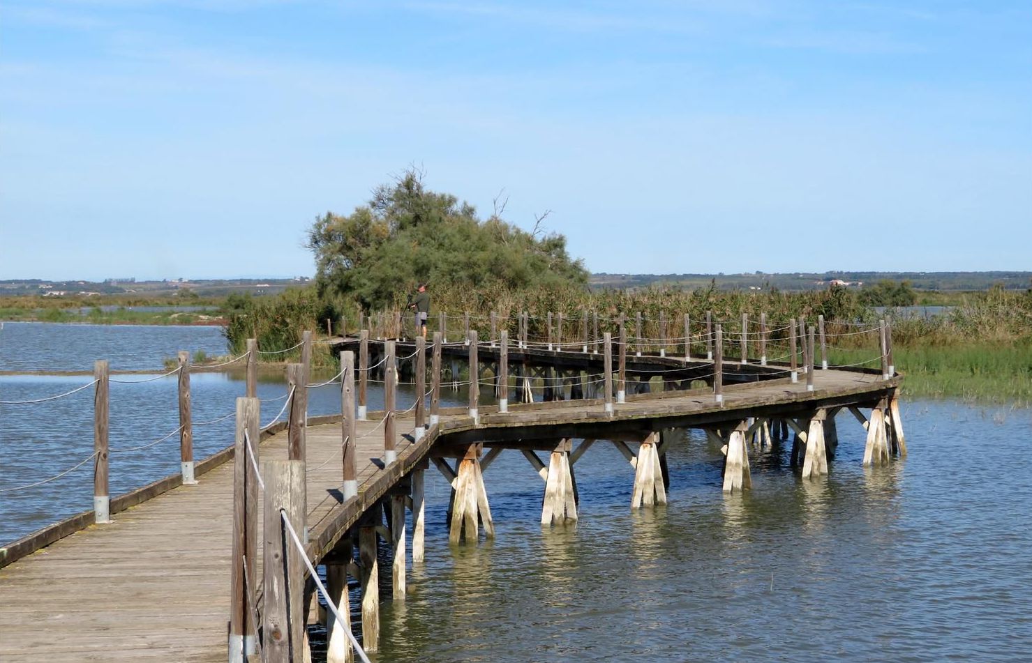
France > Provence-Alpes-Côte d'Azur > Bouches-du-Rhône > Camargue Nature Park
Length
19km
Duration
5h
Elev gain
25m
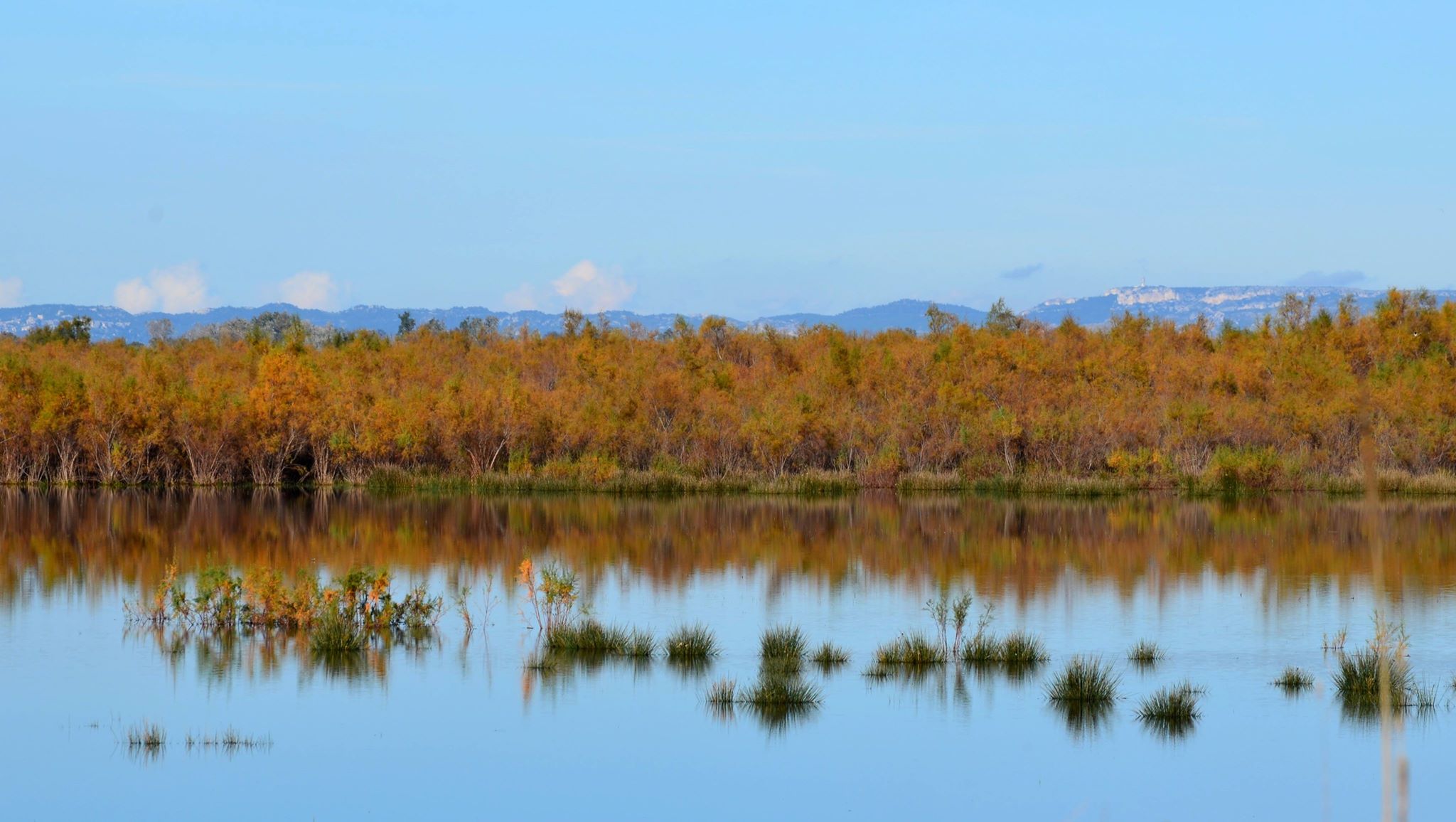
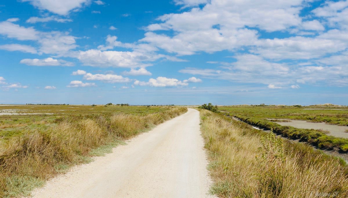
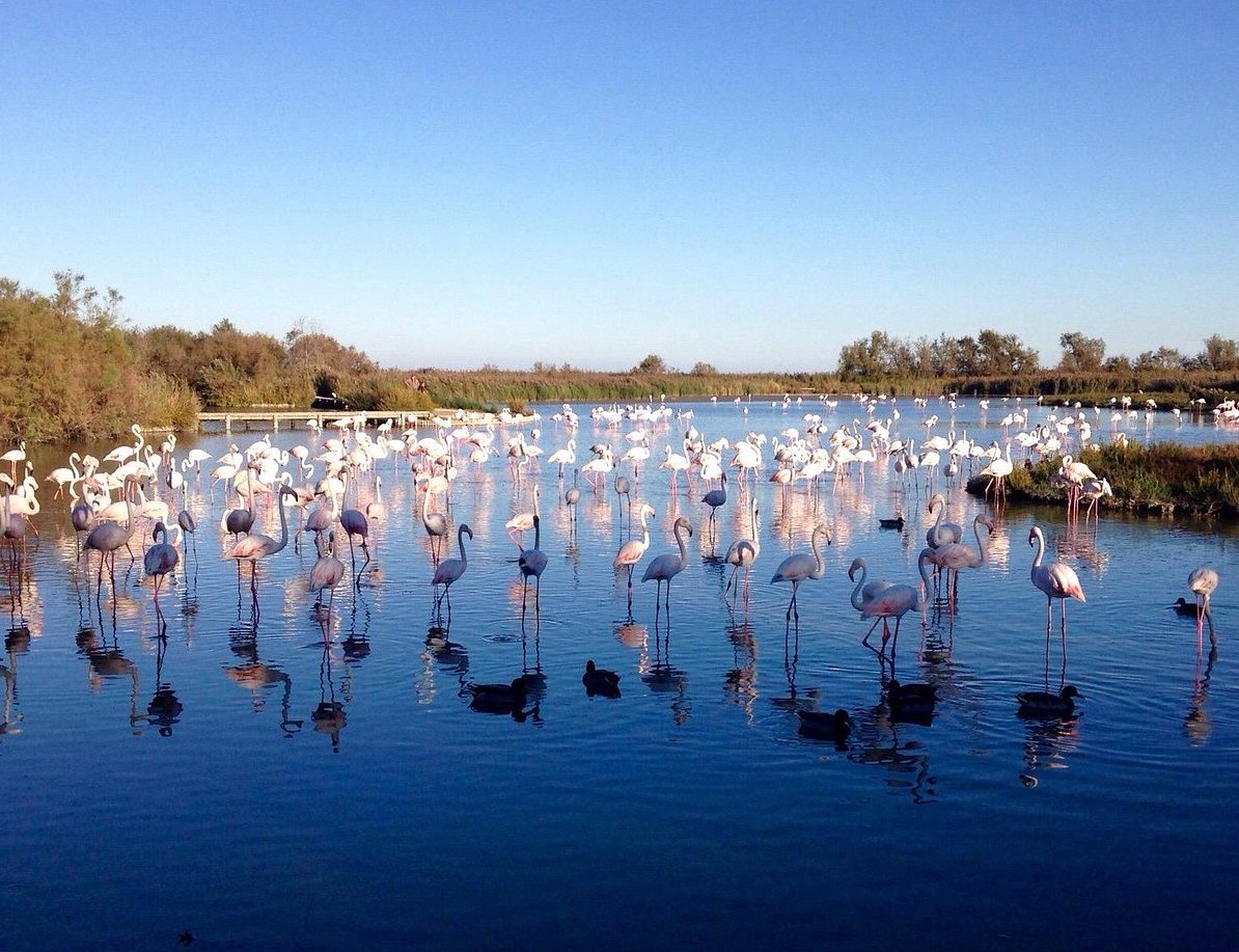
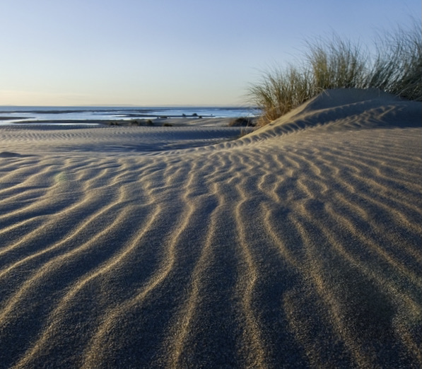
Ponds, the Mediterranean Sea, immense beaches, the Gacholle lighthouse, flamingos, egrets... A breath of fresh air!

Already more than 200,000 users!
Uphill
25m
Highest point
21m
Downhill
25m
Lowest point
0m
Route type
Loop
Download the map on your smartphone to save battery and rest assured to always keep access to the route, even without signal.
Includes IGN France and Swisstopo.
I indicate whether dogs are allowed or prohibited on this trail
All year
0 ratings
Also enjoy:

Already more than 200,000 users!