Uphill
339m
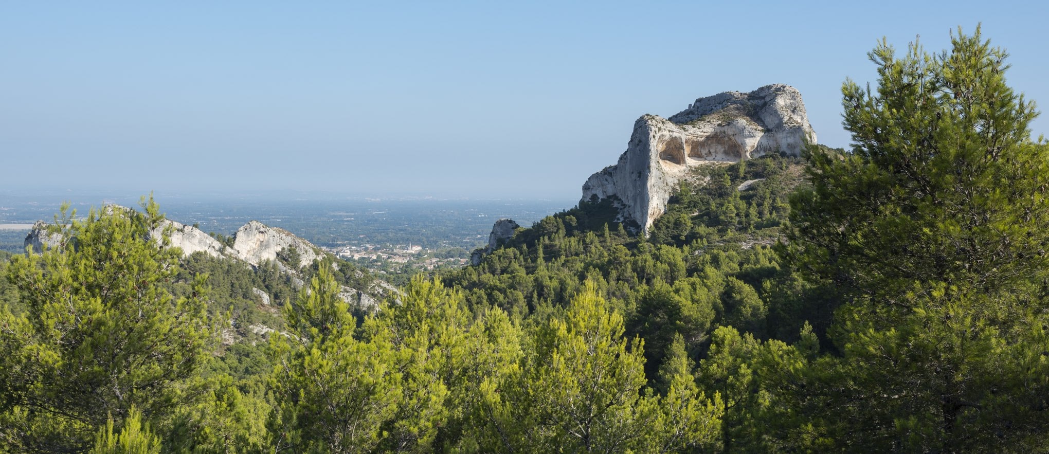
France > Provence-Alpes-Côte d'Azur > Bouches-du-Rhône > Alpilles Regional Natural Park
Length
8km
Duration
3h
Elev gain
339m
A hike with pretty panoramas, allowing you to discover the Rocher des Deux Trous, Mont Gaussier, and the Peirou lake. Some sections are equipped with ladders, to be avoided by people with fear of heights.

Already more than 200,000 users!
Uphill
339m
Highest point
340m
Downhill
339m
Lowest point
98m
Route type
Loop
Download the map on your smartphone to save battery and rest assured to always keep access to the route, even without signal.
Includes IGN France and Swisstopo.
I indicate whether dogs are allowed or prohibited on this trail
All year
0 ratings
Also enjoy:

Already more than 200,000 users!


