Uphill
476m
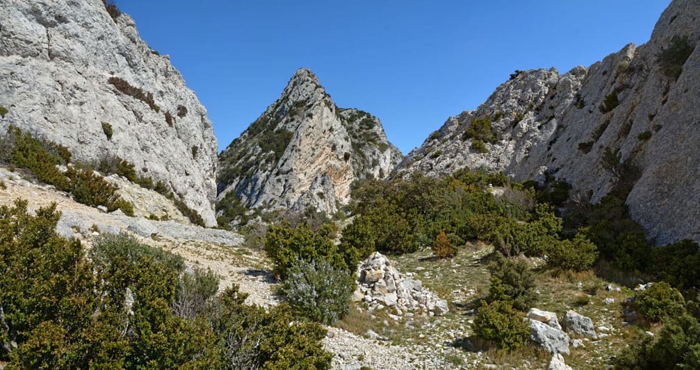
France > Provence-Alpes-Côte d'Azur > Bouches-du-Rhône > Alpilles Regional Natural Park
Length
15km
Duration
5h
Elev gain
476m
Leaving from Saint-Rémy-de-Provence, trail on the crests of the Alpilles, by the Deux Trous rock, the Caume plateau and the Vallongue pass. Magnificent views.

Already more than 200,000 users!
Uphill
476m
Highest point
393m
Downhill
476m
Lowest point
101m
Route type
Loop
Download the map on your smartphone to save battery and rest assured to always keep access to the route, even without signal.
Includes IGN France and Swisstopo.
I indicate whether dogs are allowed or prohibited on this trail
All year
1 rating
Also enjoy:

Already more than 200,000 users!


