Uphill
288m
France > Provence-Alpes-Côte d'Azur > Bouches-du-Rhône > Alpilles Regional Natural Park
Length
7km
Duration
2h30min
Elev gain
288m
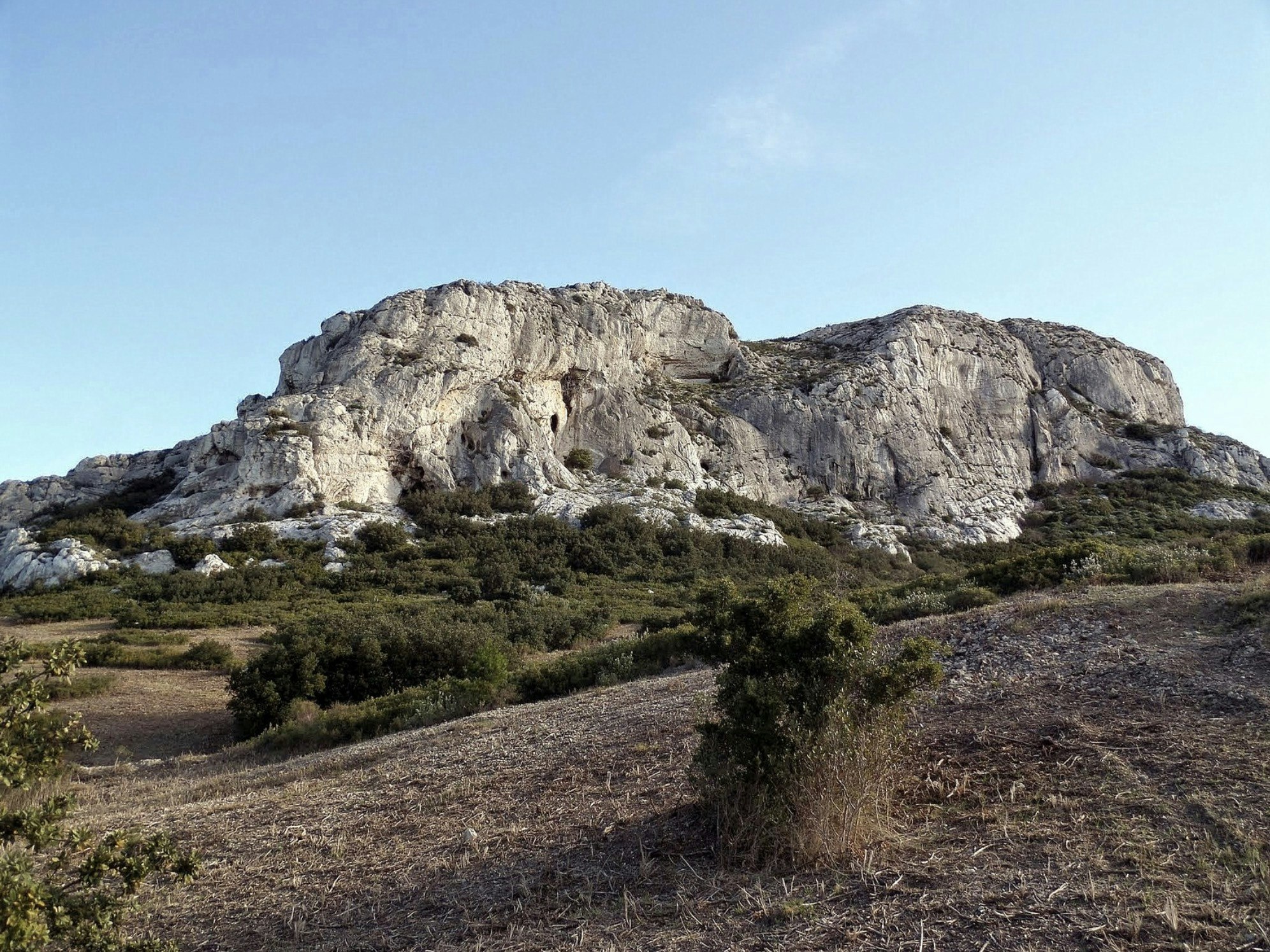
Located near the highest point of the Alpilles, this hike offers magnificent views of the surroundings. Sporty and demanding hike, the crest being off-trail.

Already more than 200,000 users!
Uphill
288m
Highest point
424m
Downhill
288m
Lowest point
167m
Route type
Loop
Download the map on your smartphone to save battery and rest assured to always keep access to the route, even without signal.
Includes IGN France and Swisstopo.
I indicate whether dogs are allowed or prohibited on this trail
All year
0 ratings
Also enjoy:

Already more than 200,000 users!


