Uphill
266m
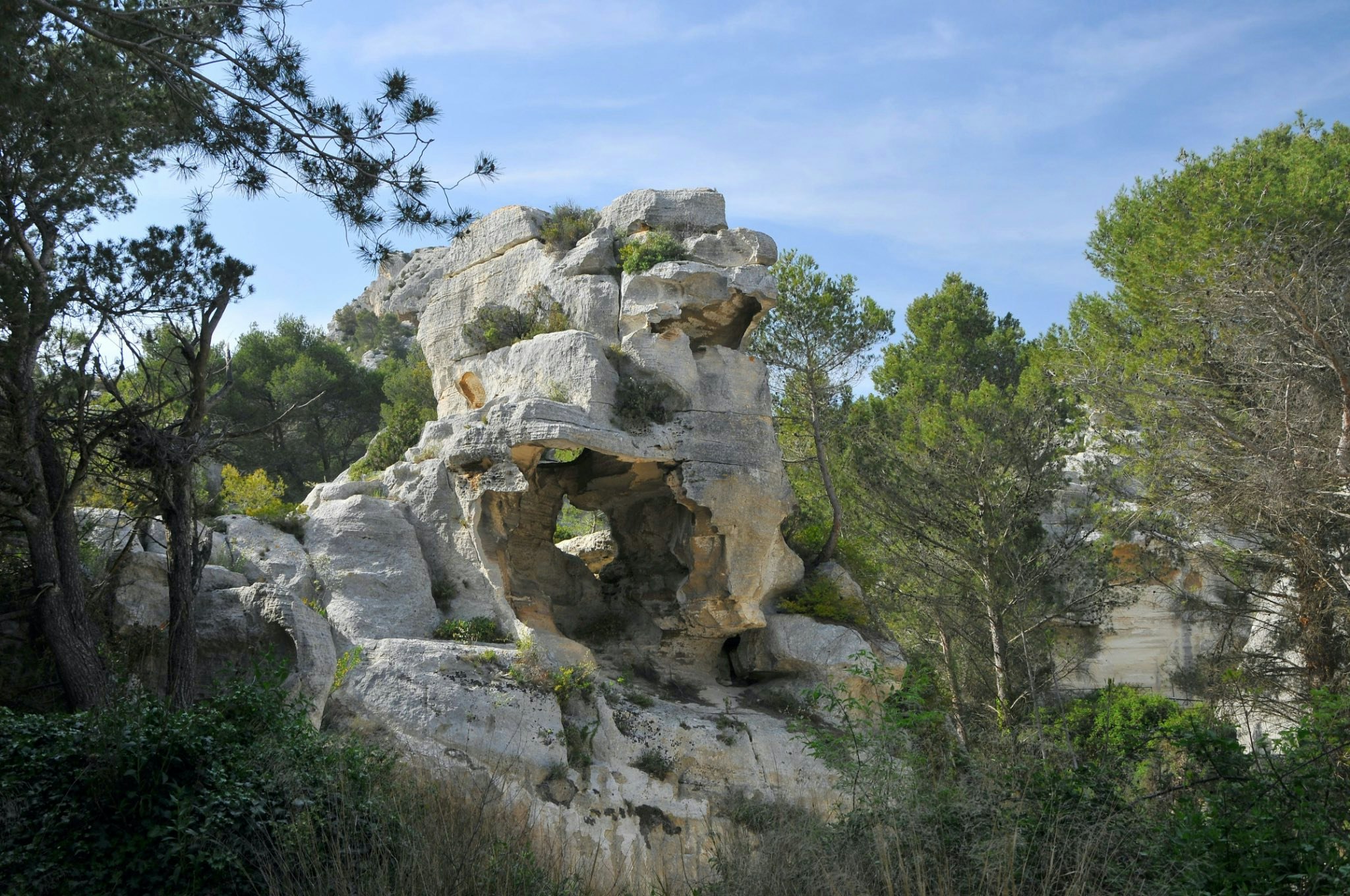
France > Provence-Alpes-Côte d'Azur > Bouches-du-Rhône > Alpilles Regional Natural Park
Length
8km
Duration
2h30min
Elev gain
266m
Walk in the Val d'Enfer, below one of the most beautiful villages in France: Les Baux-de-Provence. The forest path is pleasant and offers some panoramic views of the Alpilles.

Already more than 200,000 users!
Uphill
266m
Highest point
282m
Downhill
266m
Lowest point
125m
Route type
Loop
Download the map on your smartphone to save battery and rest assured to always keep access to the route, even without signal.
Includes IGN France and Swisstopo.
I indicate whether dogs are allowed or prohibited on this trail
All year
3 ratings
Le début est sympa mais la seconde moitié bcp moins surtout avec le tout des baux si vous n aimez pas la foule . On se croirait Porte Maillot un vendredi soir !!
Also enjoy:

Already more than 200,000 users!


