Uphill
562m
France > Provence-Alpes-Côte d'Azur > Alpes-Maritimes > Préalpes d'Azur Regional Natural Park
Length
12km
Duration
4h30min
Elev gain
562m
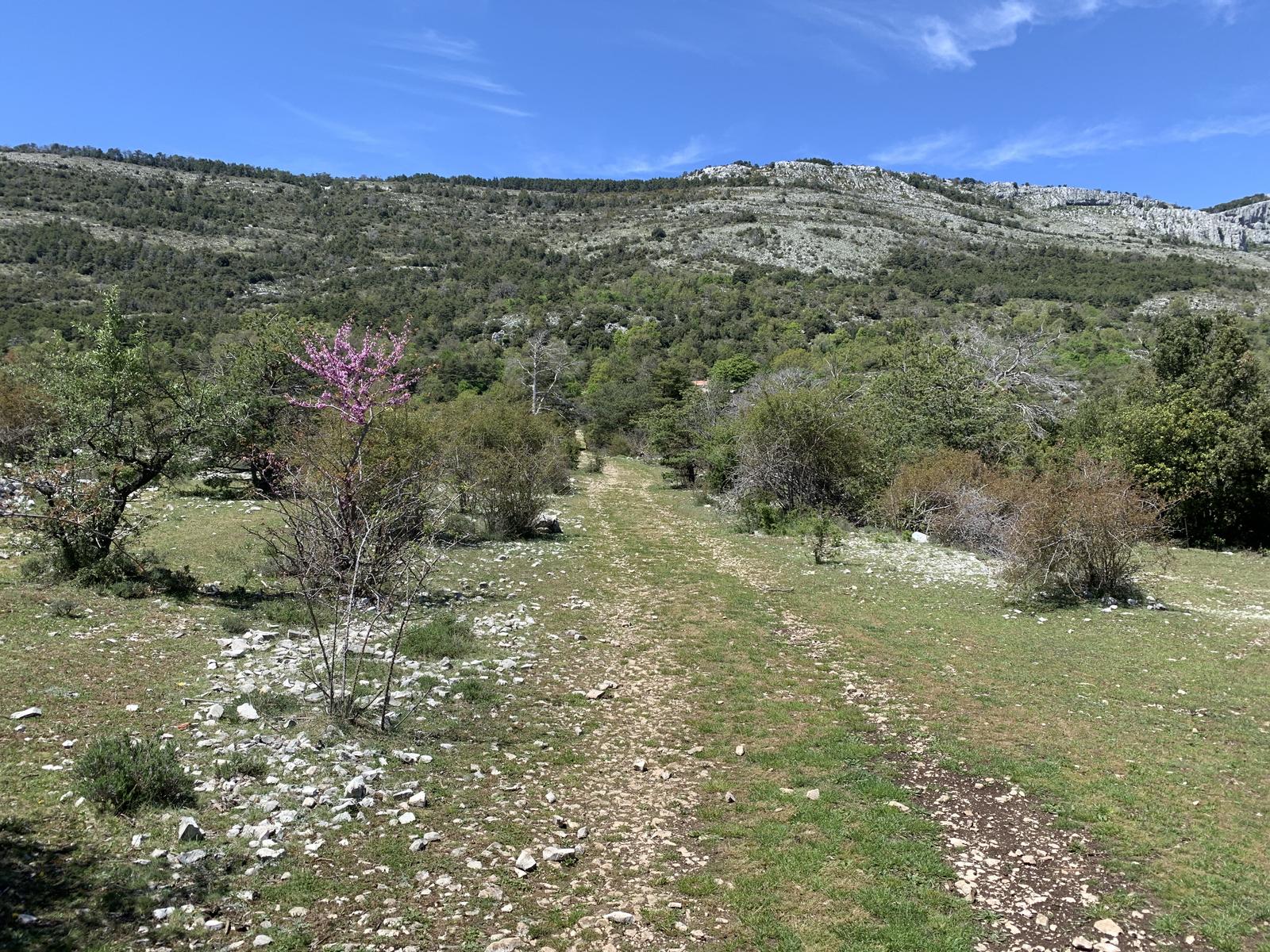
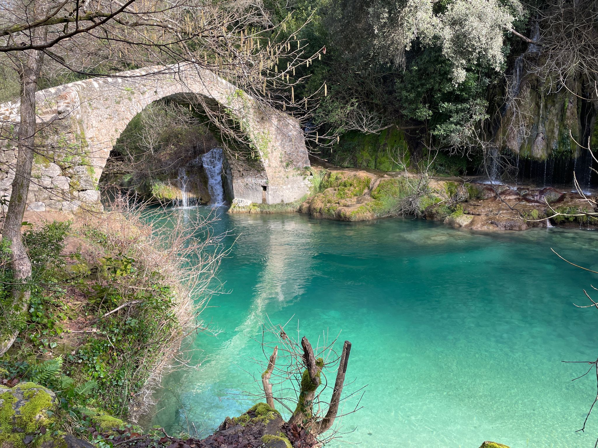
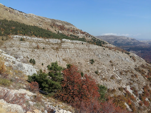
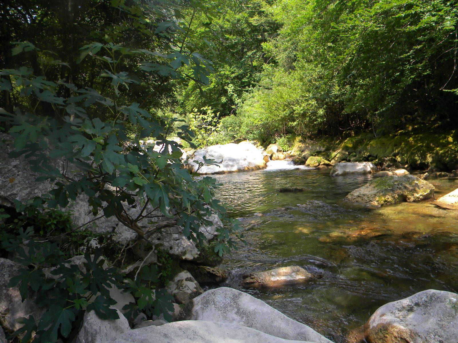
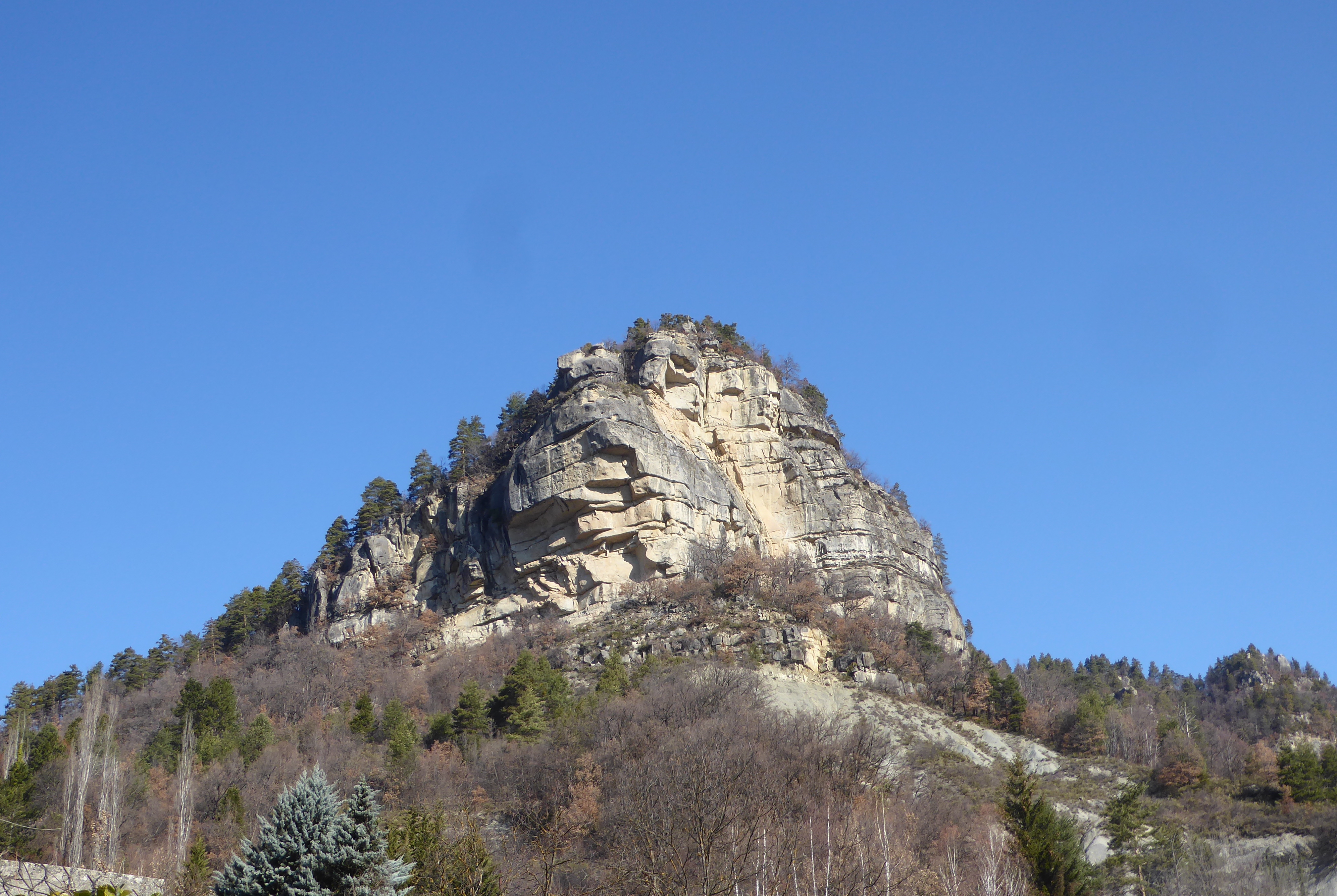
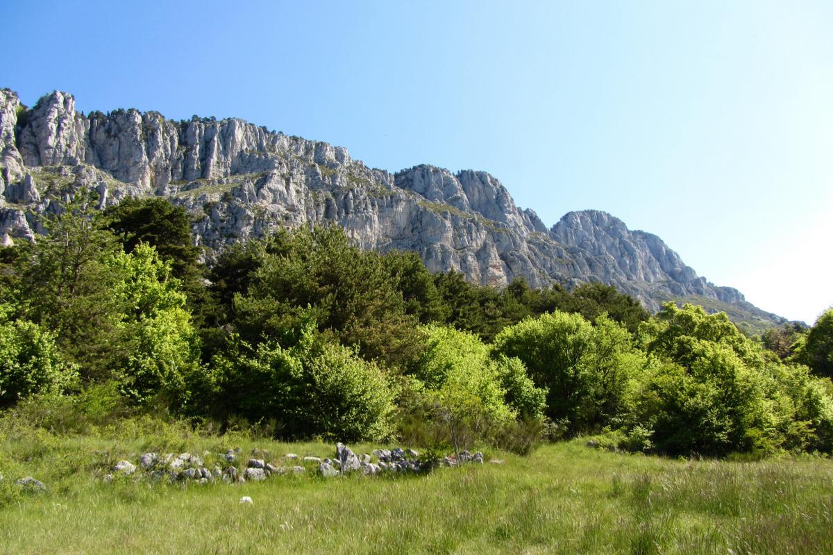
Varied hike, between undergrowth, plains and historic places. Superb panorama at the top. Note a short passage on the road.

Already more than 200,000 users!
Uphill
562m
Highest point
1645m
Downhill
562m
Lowest point
1126m
Route type
Loop
Download the map on your smartphone to save battery and rest assured to always keep access to the route, even without signal.
Includes IGN France and Swisstopo.
I indicate whether dogs are allowed or prohibited on this trail
From May to October
1 rating
Also enjoy:

Already more than 200,000 users!