Uphill
680m
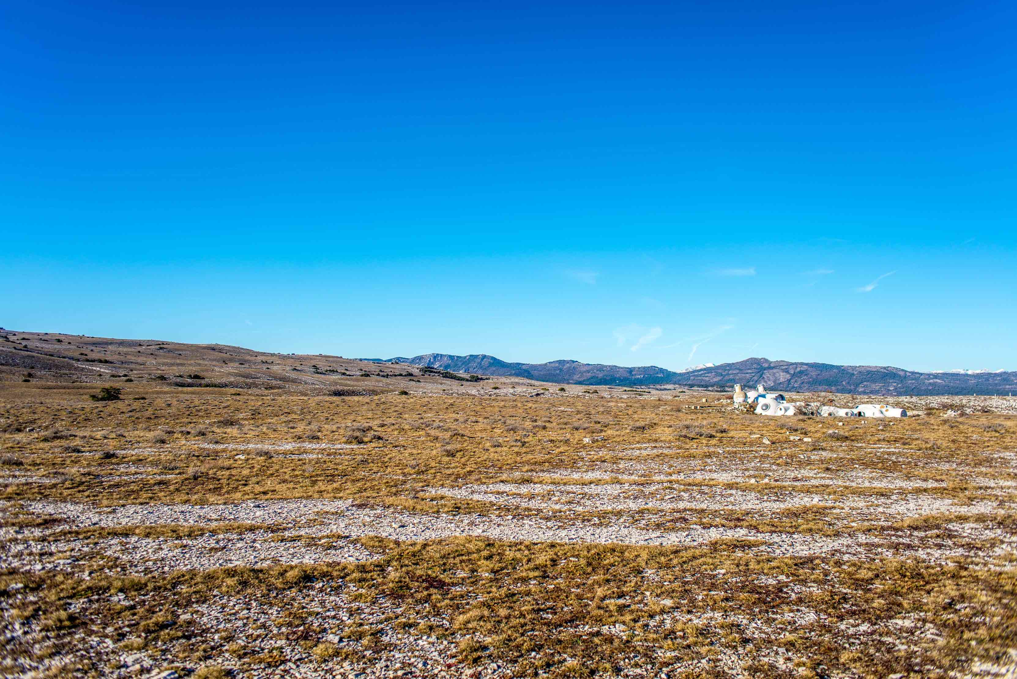
France > Provence-Alpes-Côte d'Azur > Alpes-Maritimes > Préalpes d'Azur Regional Natural Park
Length
11km
Duration
5h
Elev gain
680m
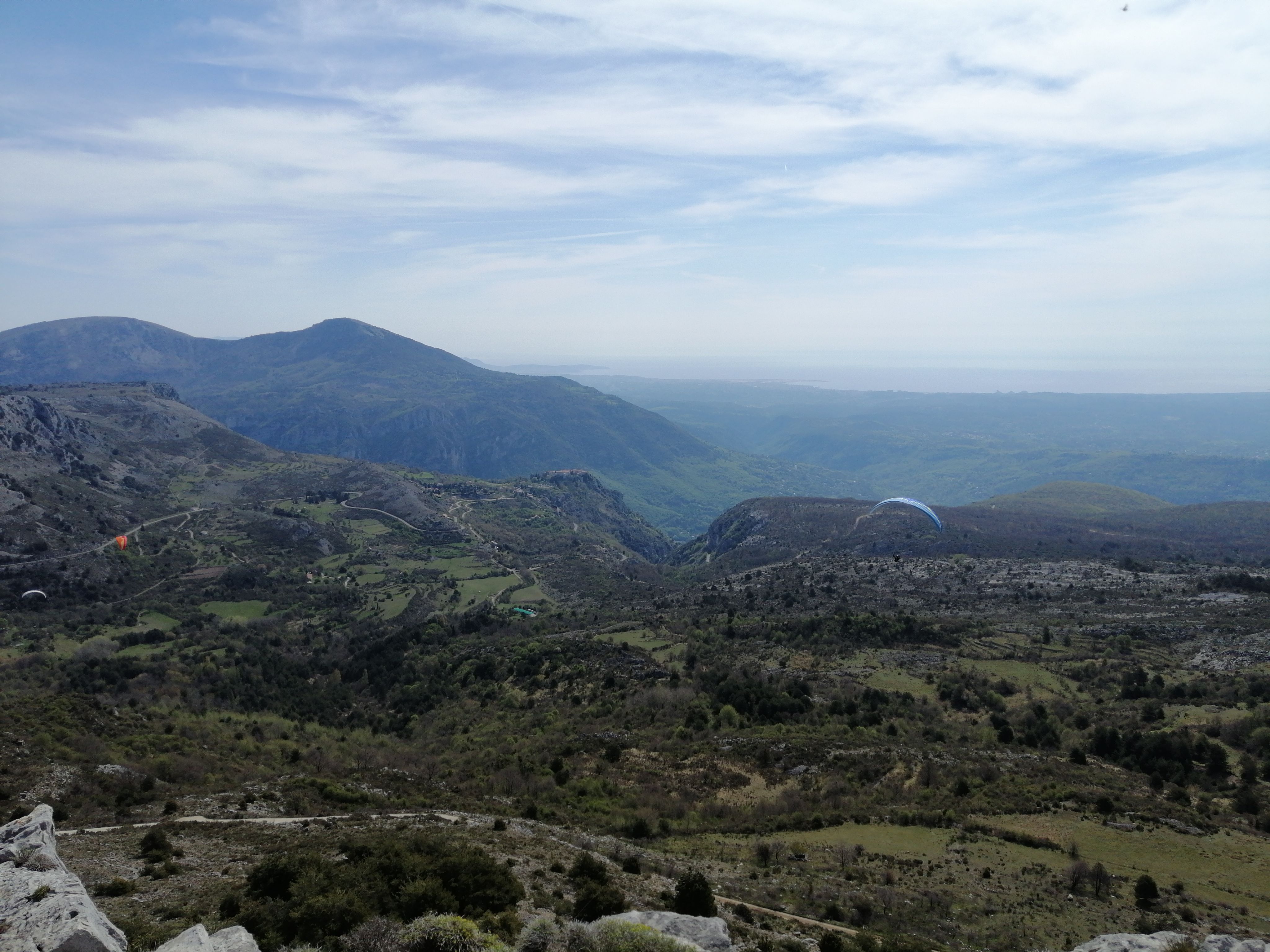
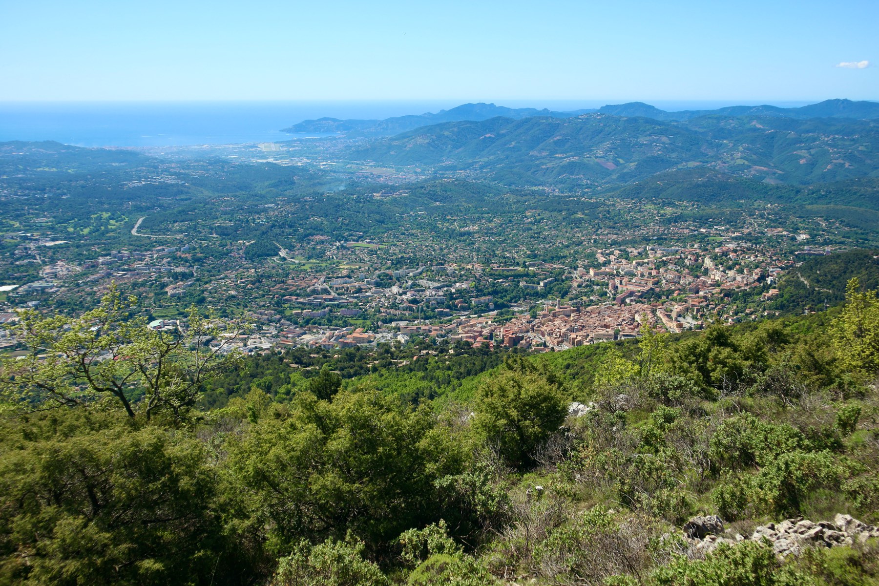
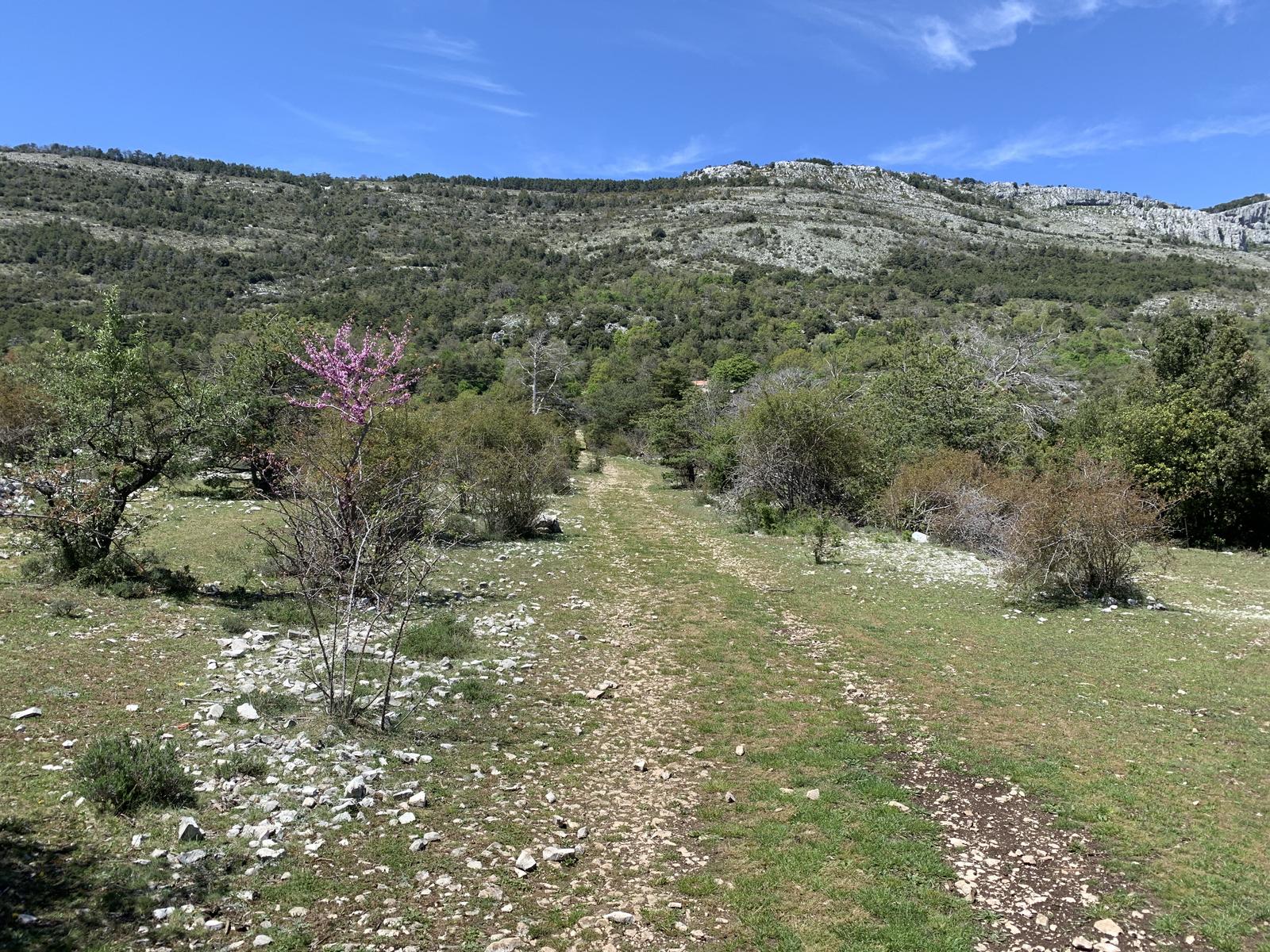
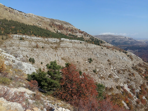
Hike in the Grasse hinterland to a summit (1,553 m) offering a panorama of the Calern plateau, the bay of Cannes and the Mercantour.

Already more than 200,000 users!
Uphill
680m
Highest point
1551m
Downhill
680m
Lowest point
870m
Route type
Loop
Download the map on your smartphone to save battery and rest assured to always keep access to the route, even without signal.
Includes IGN France and Swisstopo.
I indicate whether dogs are allowed or prohibited on this trail
Can be difficult in Winter
0 ratings
Also enjoy:

Already more than 200,000 users!