Uphill
510m
France > Provence-Alpes-Côte d'Azur > Alpes-Maritimes > Préalpes d'Azur Regional Natural Park
Length
12km
Duration
4h30min
Elev gain
510m
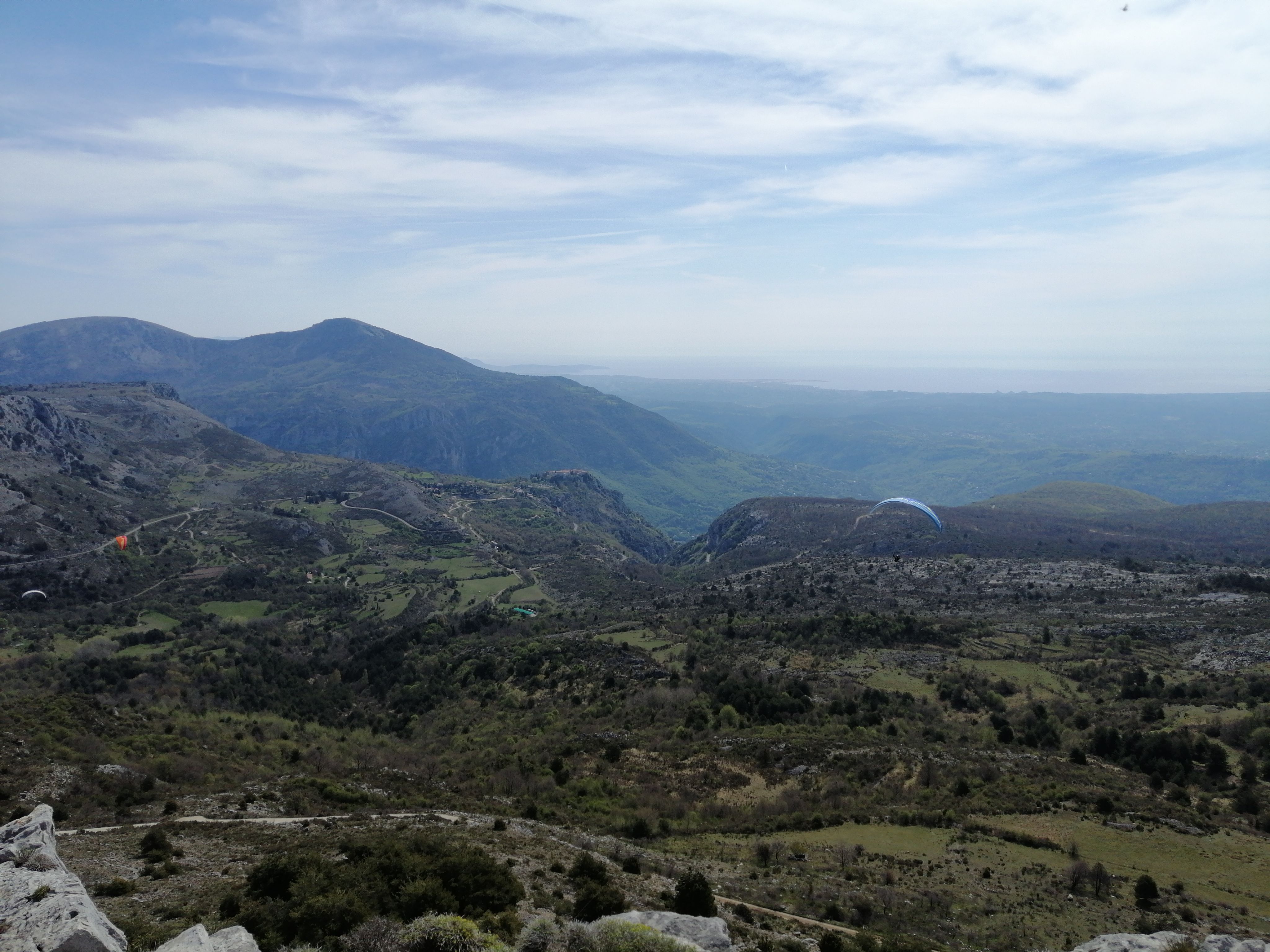
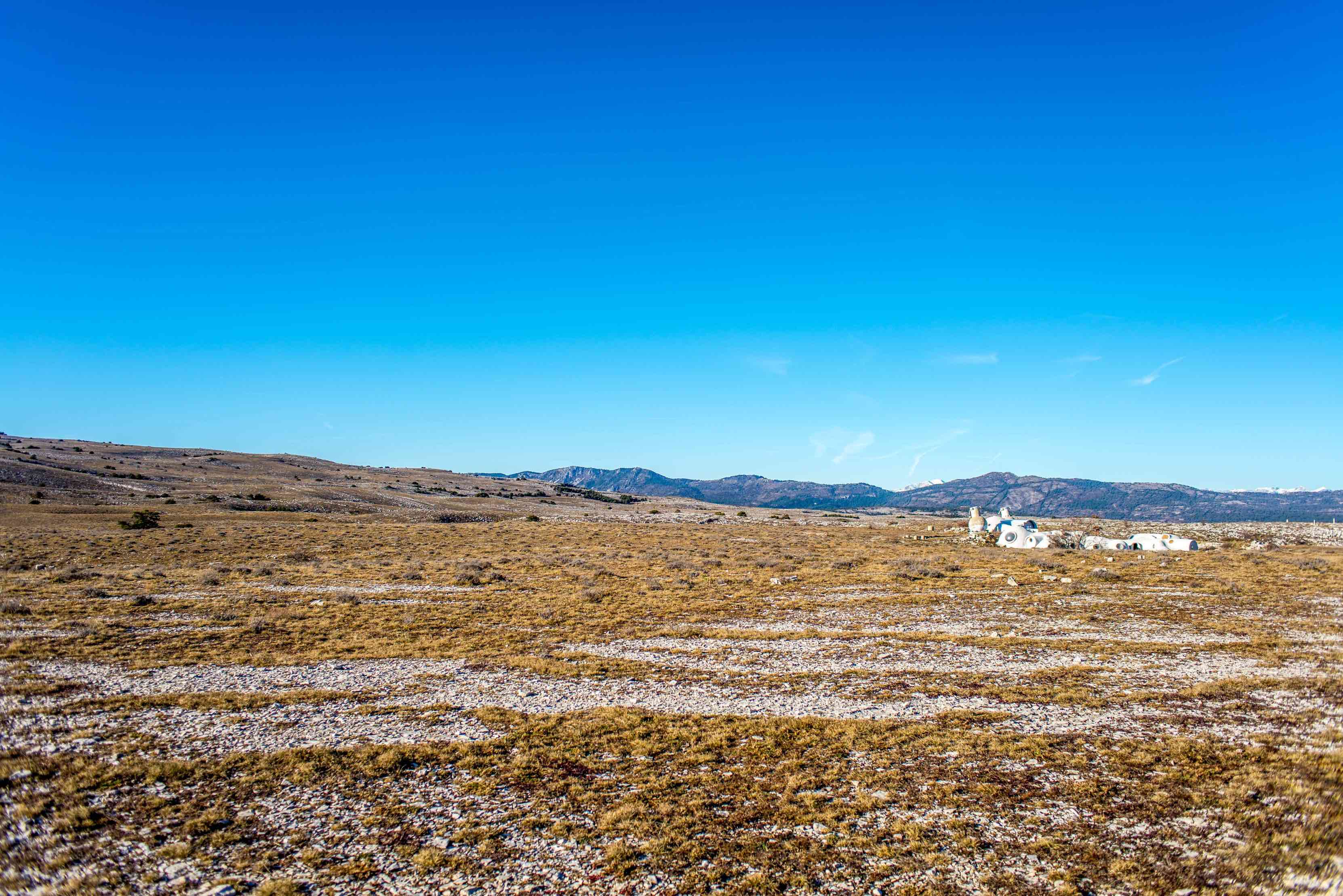
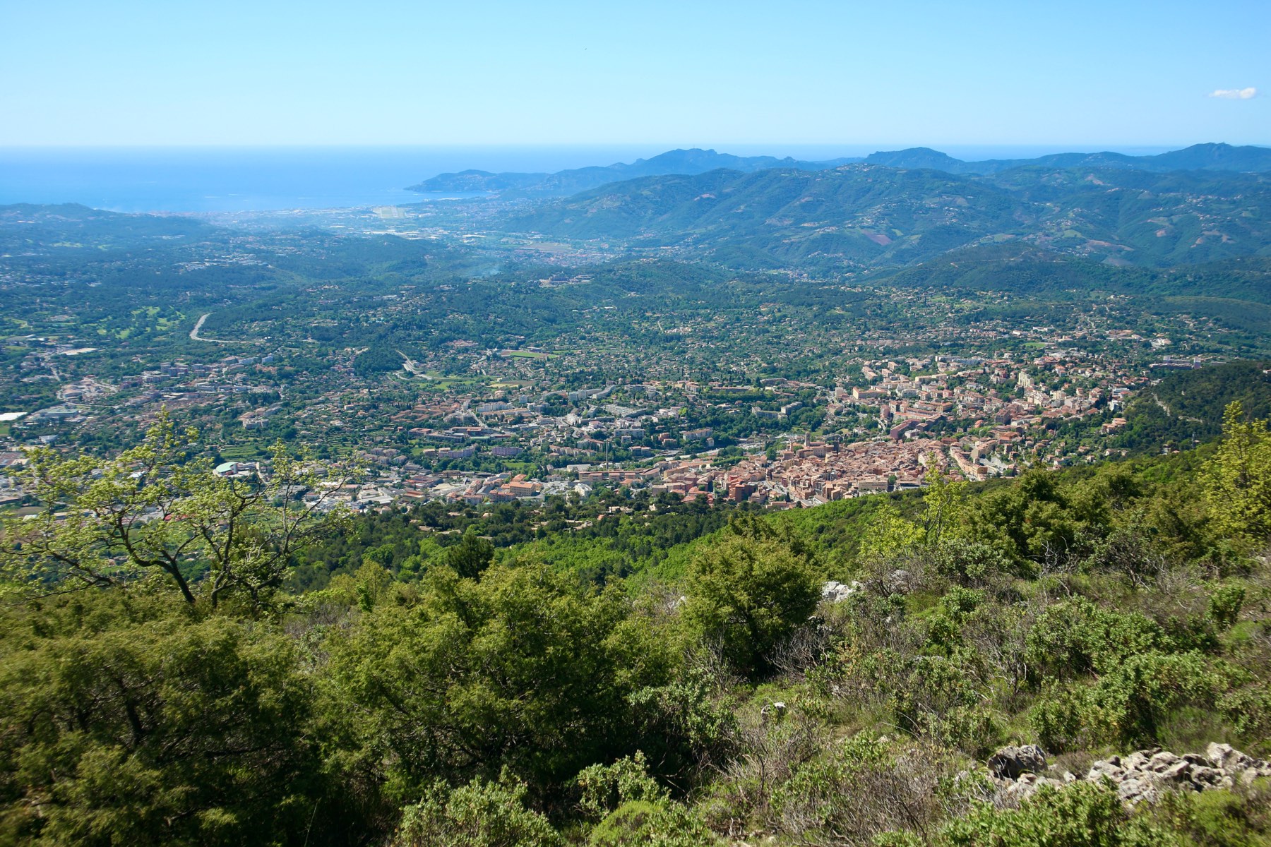
Walk on the heights of Grasse offering a beautiful panorama extending from the Esterel to the baie des Anges, passing through the peaks of Mercantour.

Already more than 200,000 users!
Uphill
510m
Highest point
934m
Downhill
510m
Lowest point
560m
Route type
Loop
Download the map on your smartphone to save battery and rest assured to always keep access to the route, even without signal.
Includes IGN France and Swisstopo.
I indicate whether dogs are allowed or prohibited on this trail
All year
2 ratings
Varié et agréable tour
Peut être faudrait il proposer de démarrer la rando au tennis altitude 500 ,30 route Napoléon pour avoir un parking sûr et avec plusieurs places
Also enjoy:

Already more than 200,000 users!