Uphill
218m
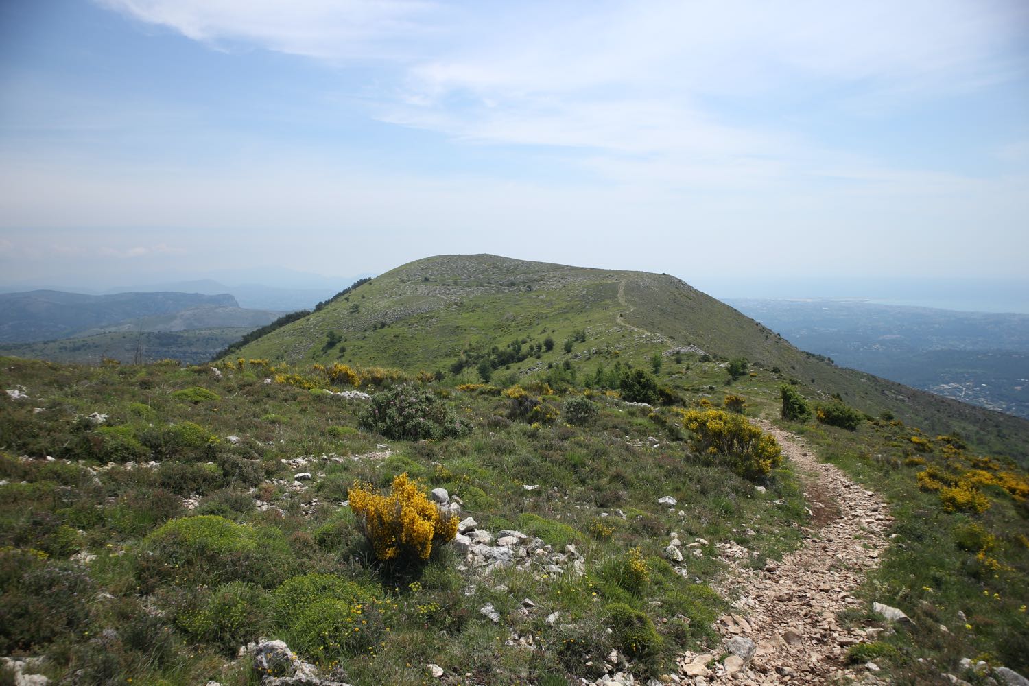
France > Provence-Alpes-Côte d'Azur > Alpes-Maritimes > Préalpes d'Azur Regional Natural Park
Length
5km
Duration
2h
Elev gain
218m
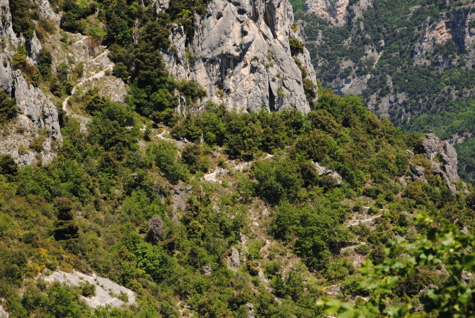
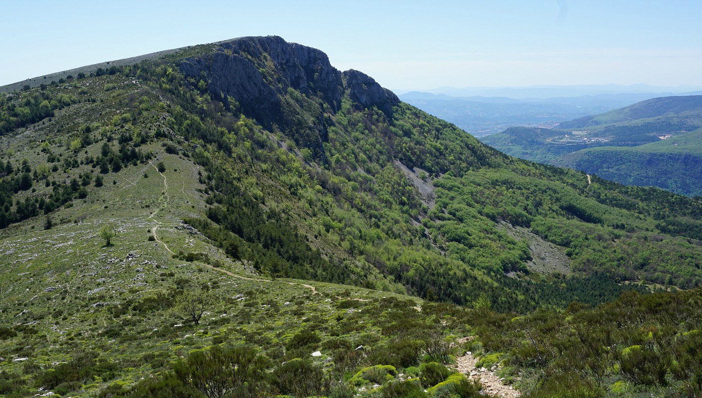
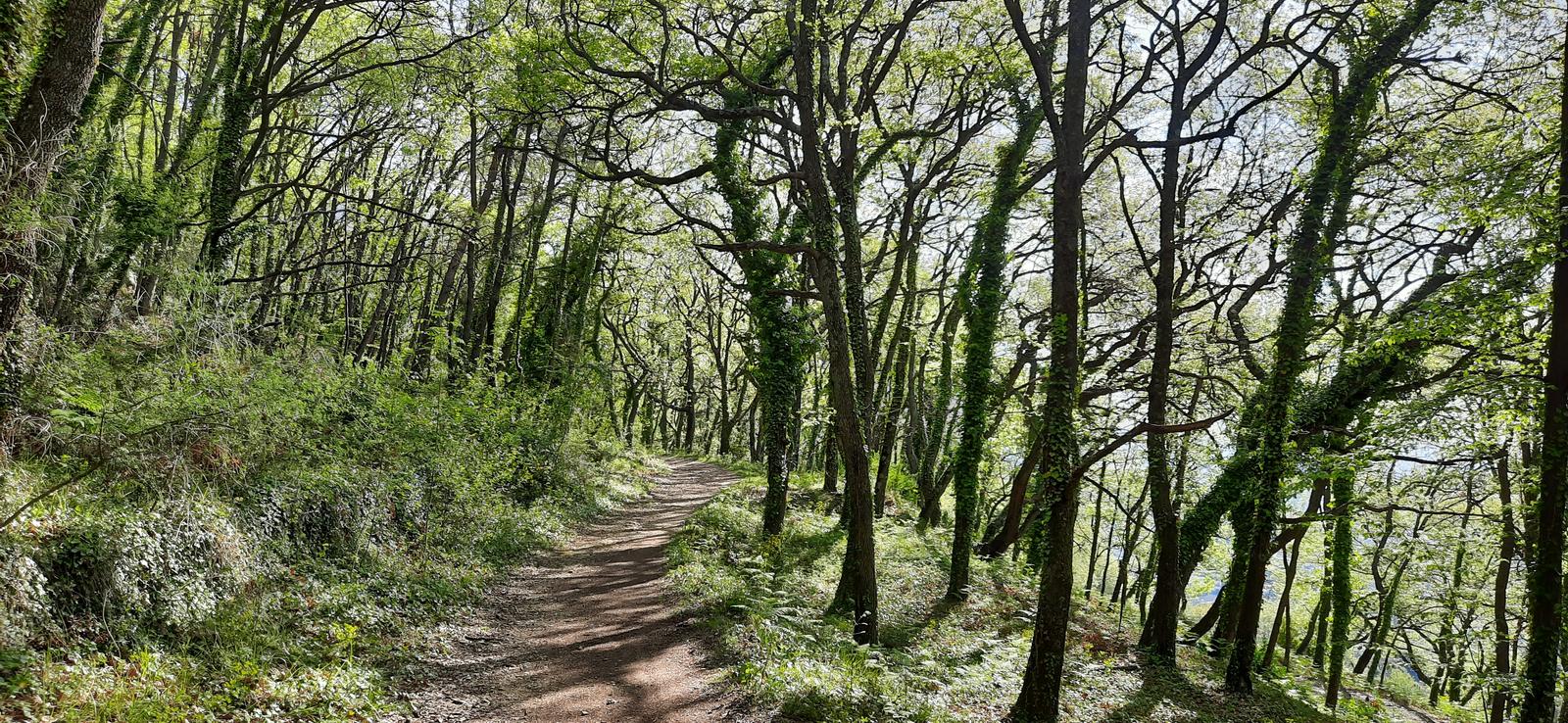
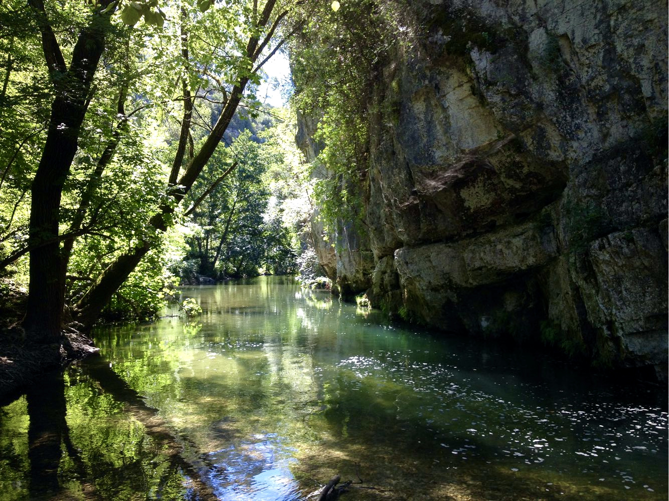
Here is an original hike on the banks of the Loup. The trail takes several tunnels, and sometimes requires putting your feet in the water up to twenty centimeters! So bring a flashlight and suitable shoes.

Already more than 200,000 users!
Uphill
218m
Highest point
413m
Downhill
218m
Lowest point
192m
Route type
There and back
Download the map on your smartphone to save battery and rest assured to always keep access to the route, even without signal.
Includes IGN France and Swisstopo.
I indicate whether dogs are allowed or prohibited on this trail
All year
2 ratings
Also enjoy:

Already more than 200,000 users!