Uphill
685m
France > Provence-Alpes-Côte d'Azur > Alpes-Maritimes > Préalpes d'Azur Regional Natural Park
Length
13km
Duration
5h
Elev gain
685m
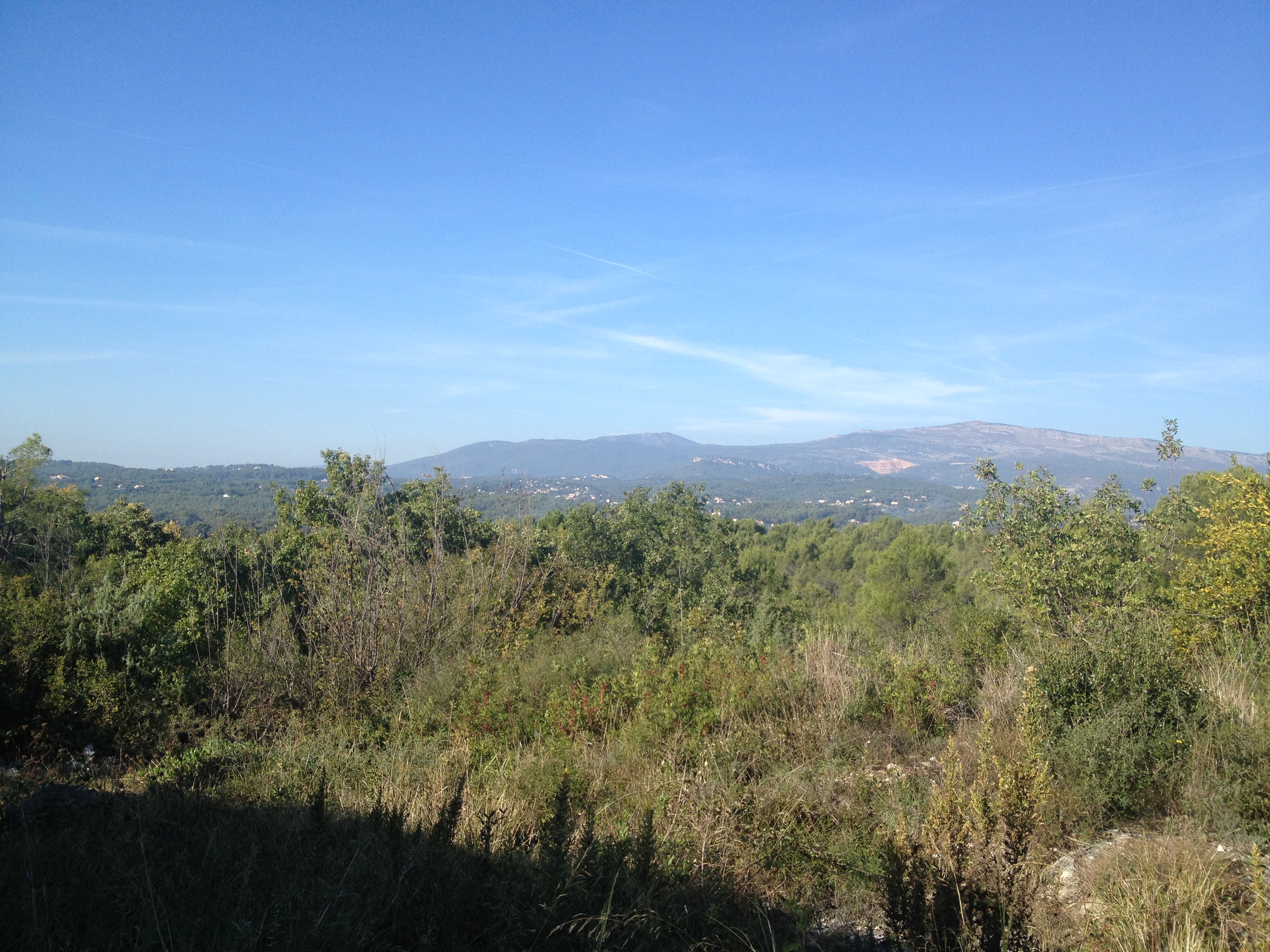
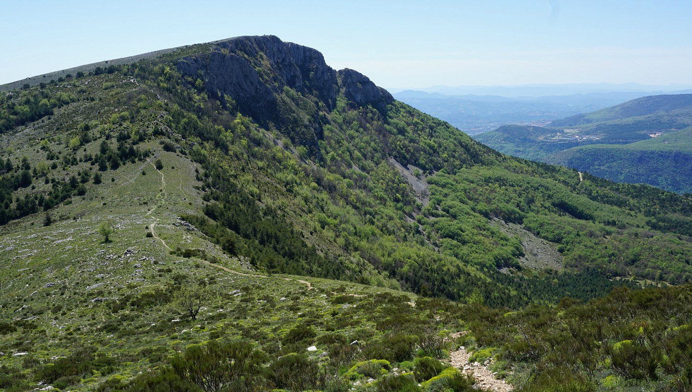
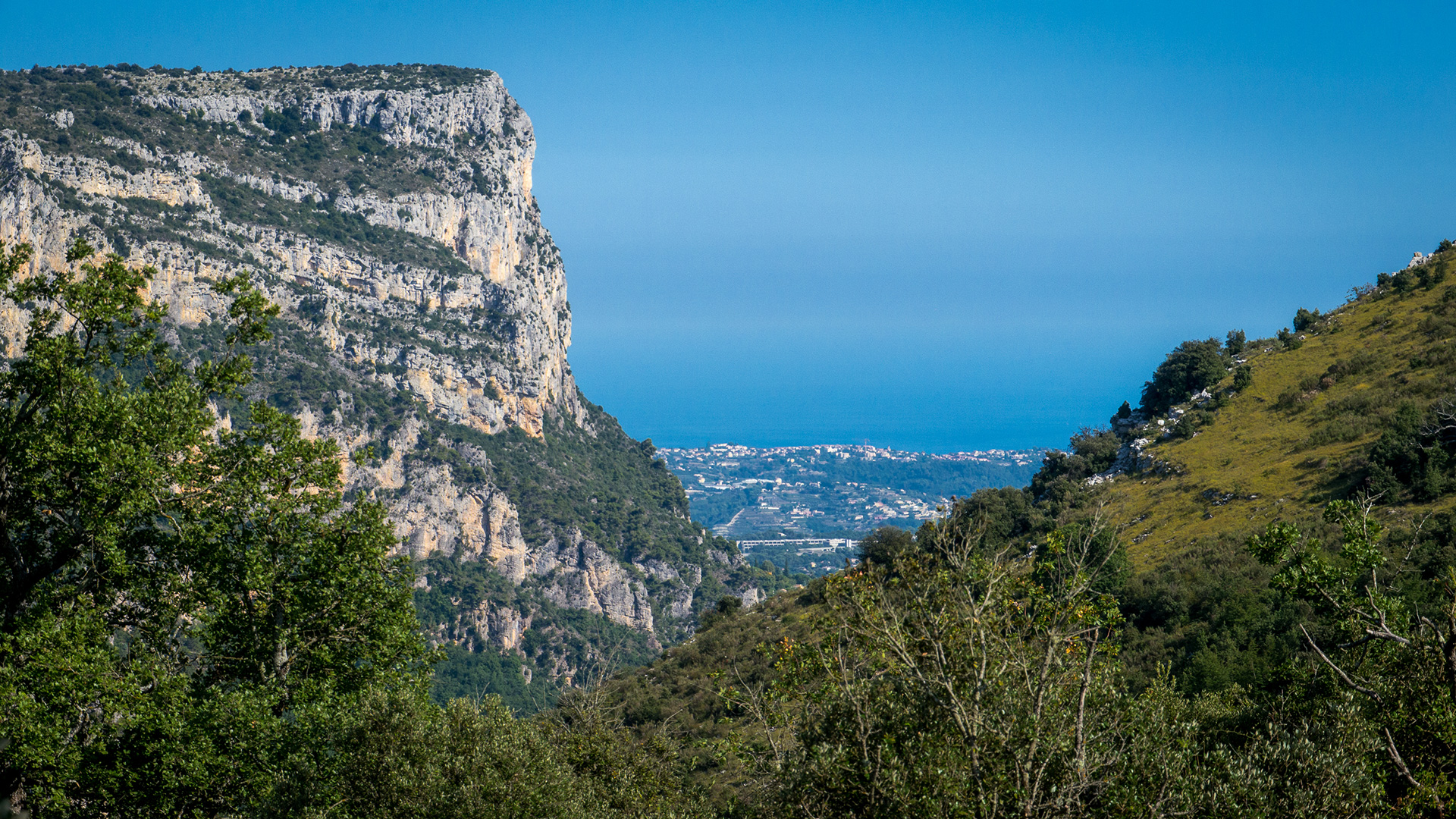
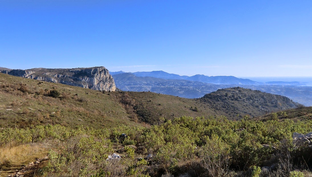
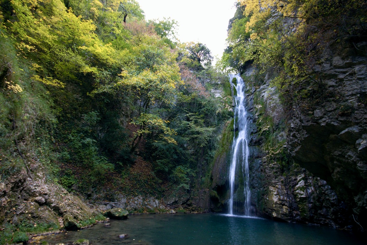
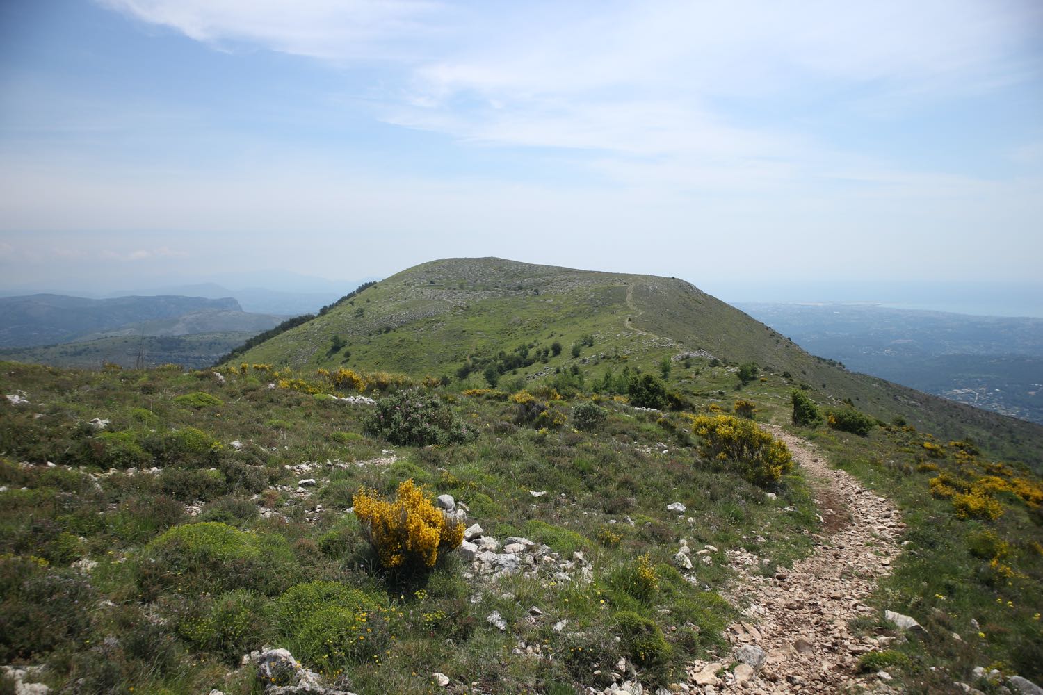
Departing from Tourrettes-sur-Loup, this hike offers a magnificent panorama stretching from the Mediterranean to the Mercantour. The lower part of the circuit is shaded, while the peaks are exposed.

Already more than 200,000 users!
Uphill
685m
Highest point
1028m
Downhill
685m
Lowest point
403m
Route type
Loop
Download the map on your smartphone to save battery and rest assured to always keep access to the route, even without signal.
Includes IGN France and Swisstopo.
I indicate whether dogs are allowed or prohibited on this trail
All year
2 ratings
Also enjoy:

Already more than 200,000 users!