Uphill
288m
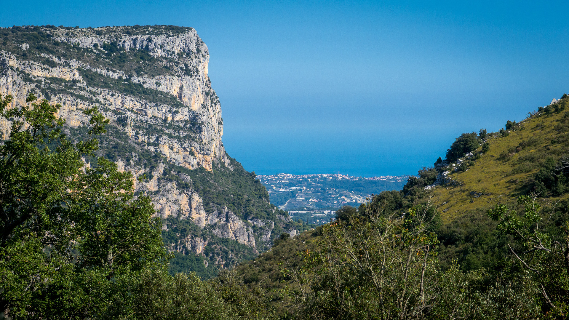
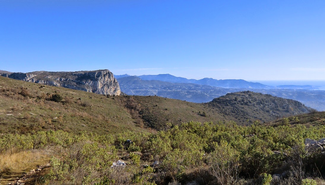
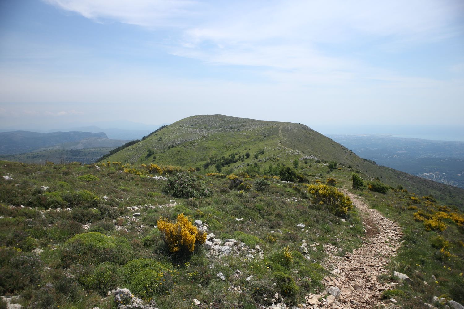
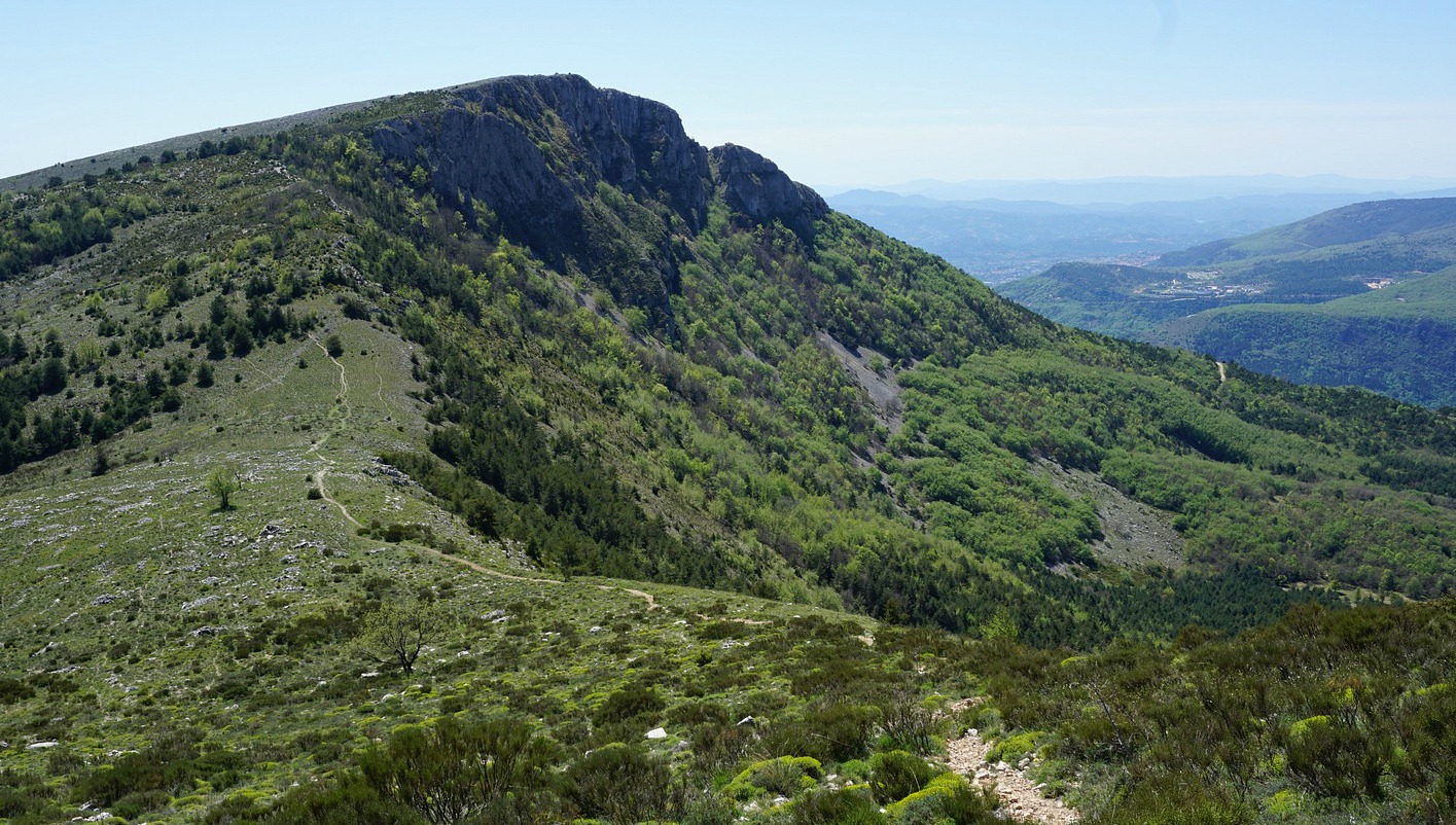
France > Provence-Alpes-Côte d'Azur > Alpes-Maritimes > Préalpes d'Azur Regional Natural Park
Length
5km
Duration
2h
Elev gain
288m
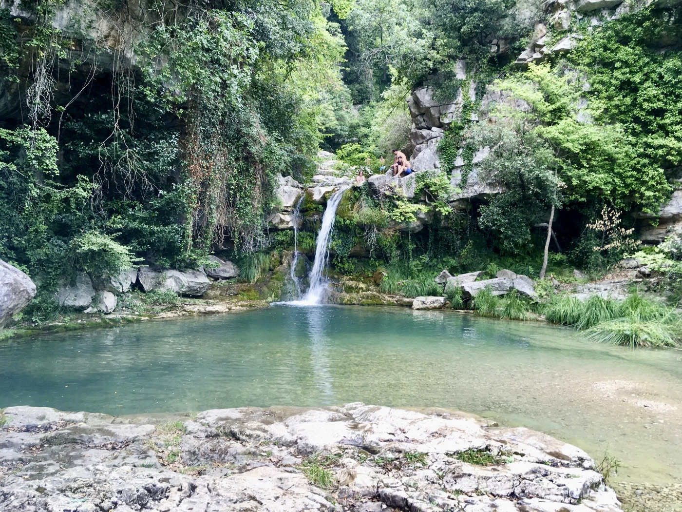
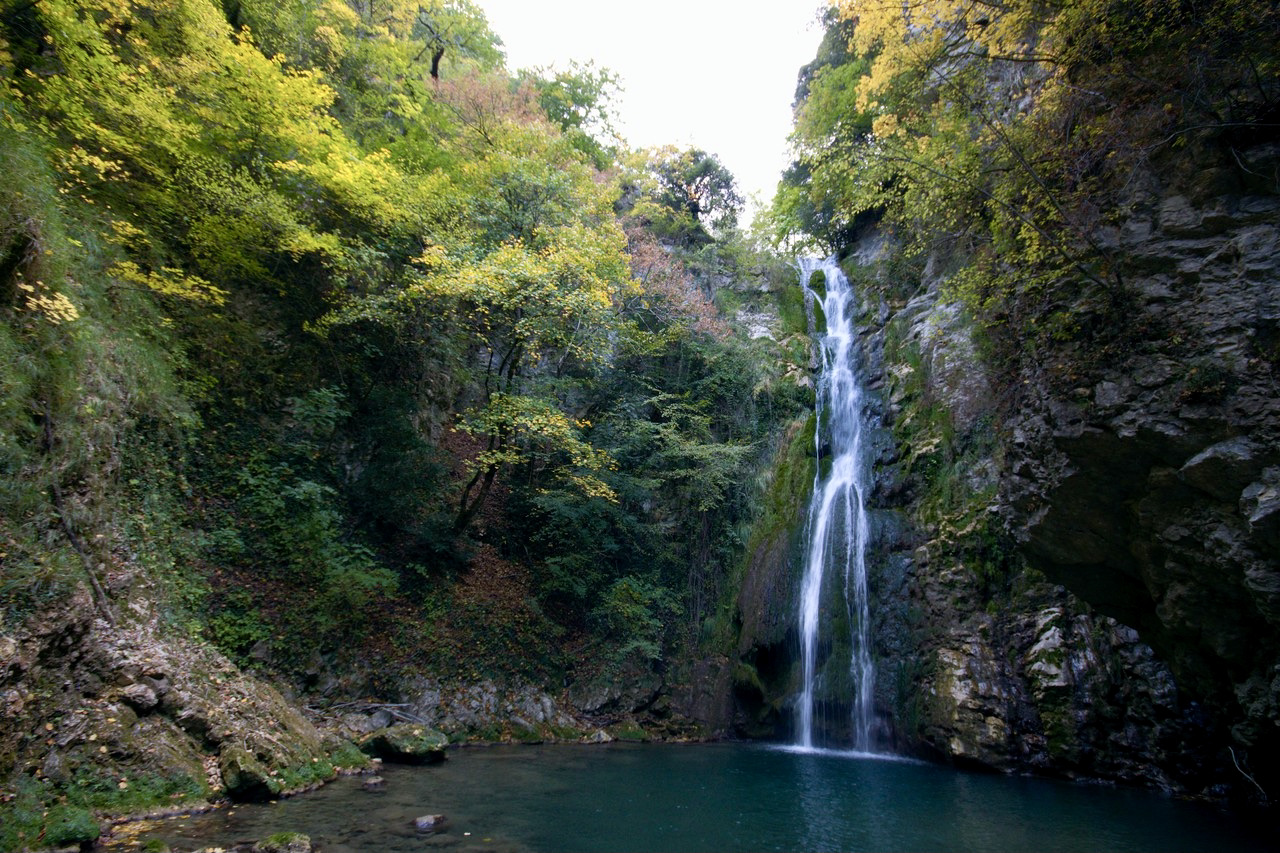
Round trip along a fairly steep path, leading to the pretty Vescagne waterfall. The clear water is an invitation to bathe despite its low temperature.

Already more than 200,000 users!
Uphill
288m
Highest point
932m
Downhill
288m
Lowest point
688m
Route type
There and back
Download the map on your smartphone to save battery and rest assured to always keep access to the route, even without signal.
Includes IGN France and Swisstopo.
I indicate whether dogs are allowed or prohibited on this trail
All year
1 rating
Also enjoy:

Already more than 200,000 users!