Uphill
232m
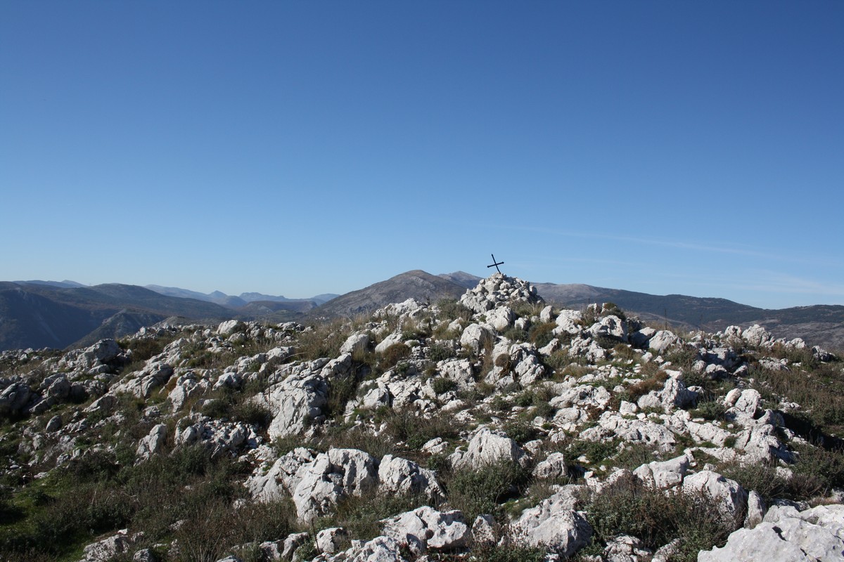
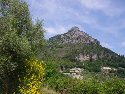
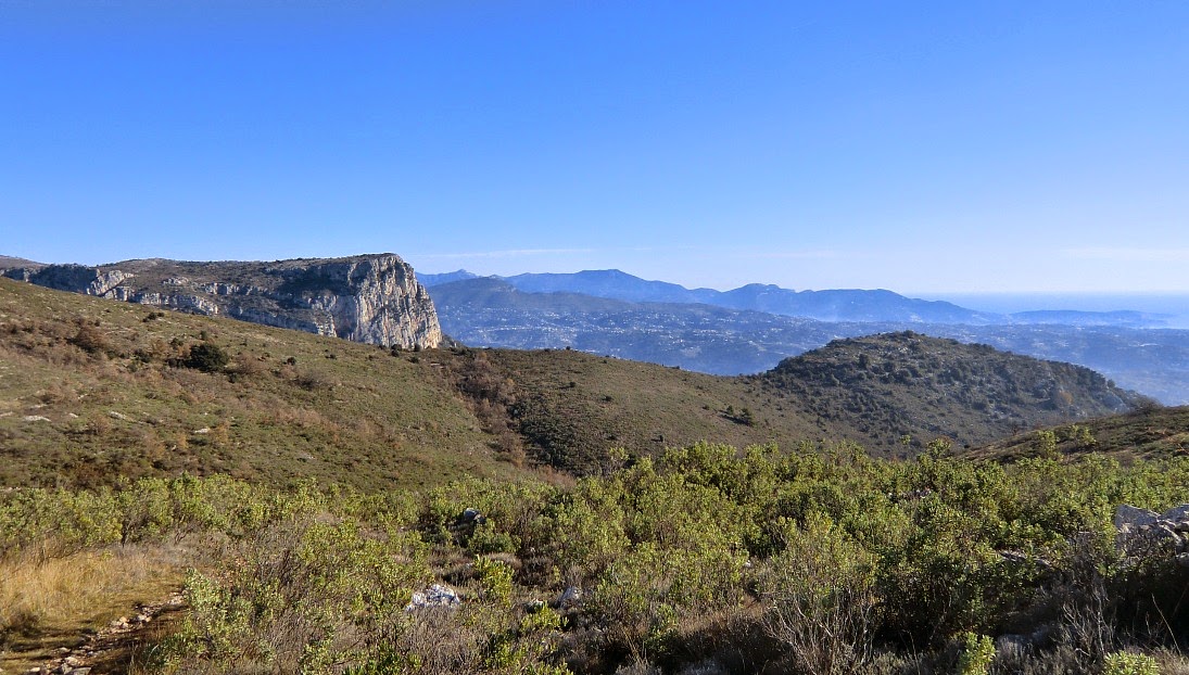
France > Provence-Alpes-Côte d'Azur > Alpes-Maritimes > Préalpes d'Azur Regional Natural Park
Length
6km
Duration
2h
Elev gain
232m
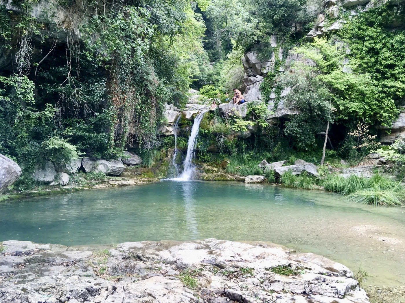
Shaded walk to discover the Riou source, punctuated by natural pools and waterfalls. There are many places for swimming.

Already more than 200,000 users!
Uphill
232m
Highest point
532m
Downhill
232m
Lowest point
419m
Route type
There and back
Download the map on your smartphone to save battery and rest assured to always keep access to the route, even without signal.
Includes IGN France and Swisstopo.
I indicate whether dogs are allowed or prohibited on this trail
All year
6 ratings
Also enjoy:

Already more than 200,000 users!