Uphill
733m

France > Provence-Alpes-Côte d'Azur > Alpes-Maritimes > Préalpes d'Azur Regional Natural Park
Length
16km
Duration
6h
Elev gain
733m
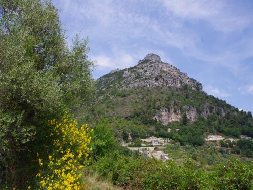
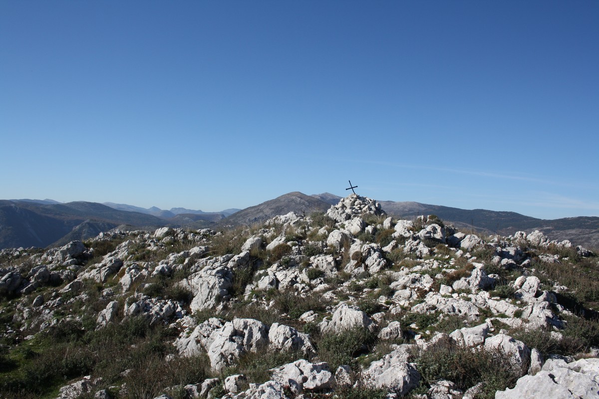
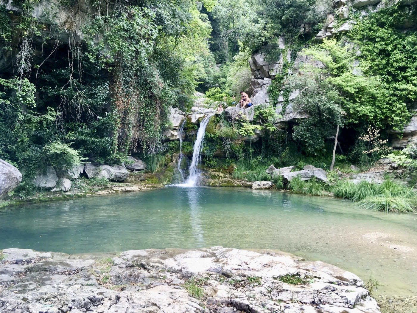
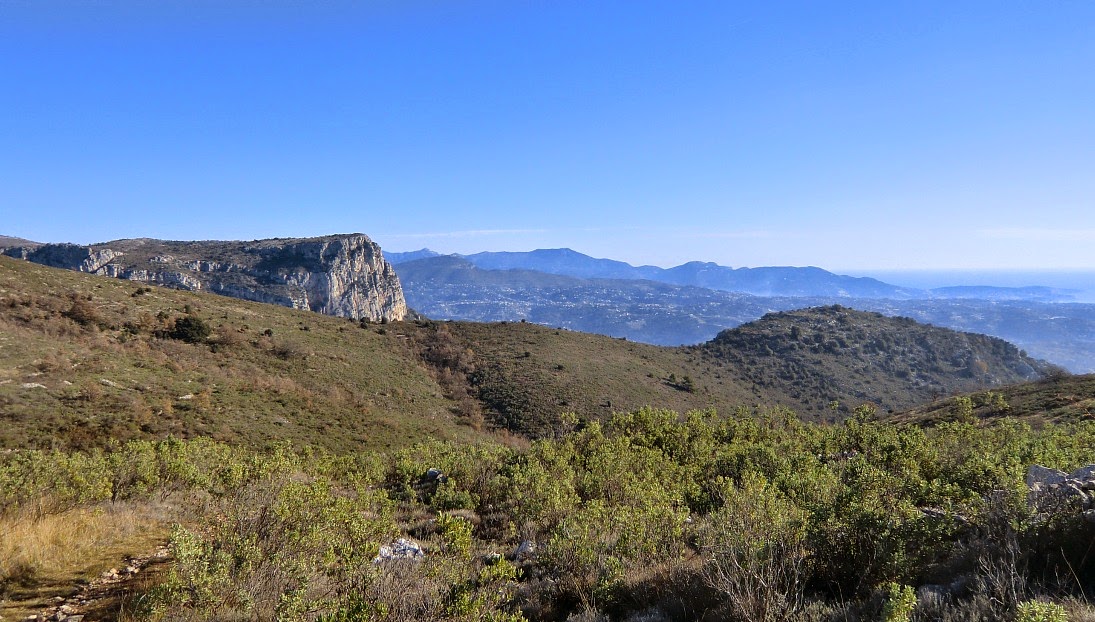
Loop trail to discover the two baous as well as the Castellet. Great panorama on the French Riviera and the hinterland.

Already more than 200,000 users!
Uphill
733m
Highest point
877m
Downhill
733m
Lowest point
430m
Route type
Loop
Download the map on your smartphone to save battery and rest assured to always keep access to the route, even without signal.
Includes IGN France and Swisstopo.
Parking René Veyssi, next to the village of Saint-Jeannet. Arrive early to have spaces in high season.
Lignes d'Azur bus stop nearby.
I indicate whether dogs are allowed or prohibited on this trail
All year
2 ratings
Also enjoy:

Already more than 200,000 users!