Uphill
515m

France > Provence-Alpes-Côte d'Azur > Alpes-Maritimes > Préalpes d'Azur Regional Natural Park
Length
10km
Duration
4h
Elev gain
515m
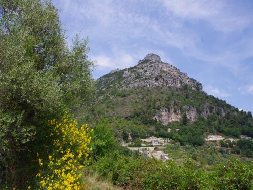
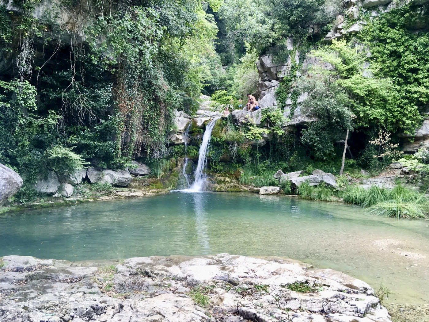
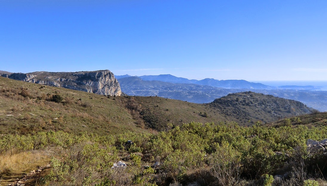
From Saint-Jeannet, this hike starts with quite a steep climb. Enough to get a superb view of the Côte d'Azur and the Mercantour. The way back is by the Castellet and the Cagne valley.

Already more than 200,000 users!
Uphill
515m
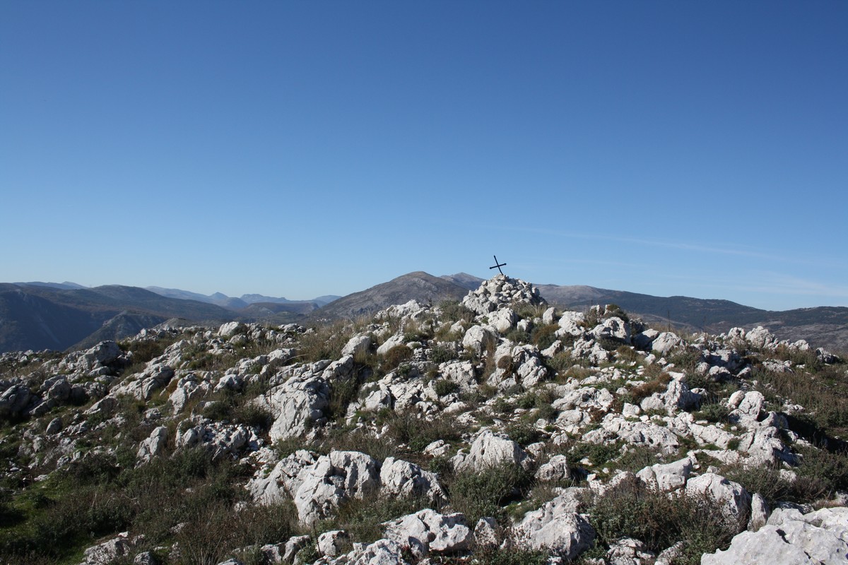
Highest point
792m
Downhill
515m
Lowest point
368m
Route type
Loop
Download the map on your smartphone to save battery and rest assured to always keep access to the route, even without signal.
Includes IGN France and Swisstopo.
Parking René Veyssi, next to the village of Saint-Jeannet. Arrive early to have spaces in high season.
Lignes d'Azur bus stop nearby.
I indicate whether dogs are allowed or prohibited on this trail
All year
4 ratings
Also enjoy:

Already more than 200,000 users!