Uphill
313m
France > Provence-Alpes-Côte d'Azur > Alpes-Maritimes > Préalpes d'Azur Regional Natural Park
Length
7km
Duration
2h30min
Elev gain
313m
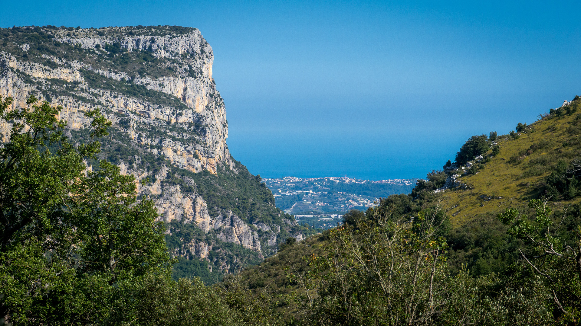
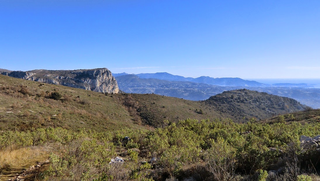
Overlooking Vence, this summit offers a pretty view of the Mediterranean coast on one side, and on the baous of Saint-Jeannet and Gaude on the other.

Already more than 200,000 users!
Uphill
313m
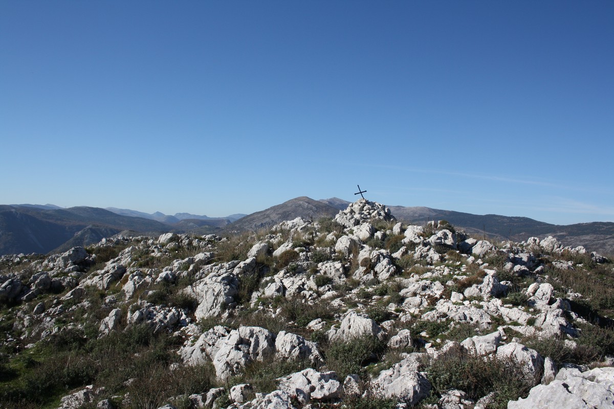
Highest point
810m
Downhill
313m
Lowest point
541m
Route type
Loop
Download the map on your smartphone to save battery and rest assured to always keep access to the route, even without signal.
Includes IGN France and Swisstopo.
I indicate whether dogs are allowed or prohibited on this trail
All year
0 ratings
Also enjoy:

Already more than 200,000 users!