Uphill
228m
France > Provence-Alpes-Côte d'Azur > Alpes-Maritimes > Préalpes d'Azur Regional Natural Park
Length
7km
Duration
2h30min
Elev gain
228m
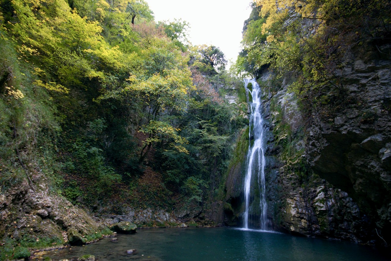
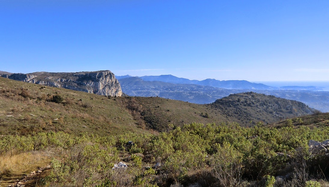
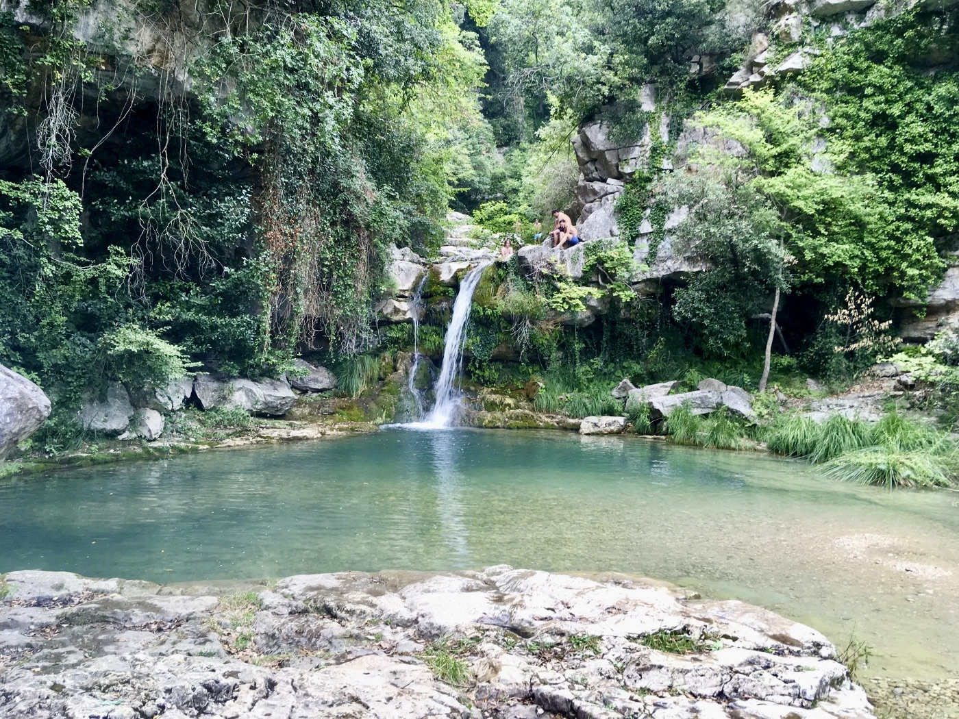
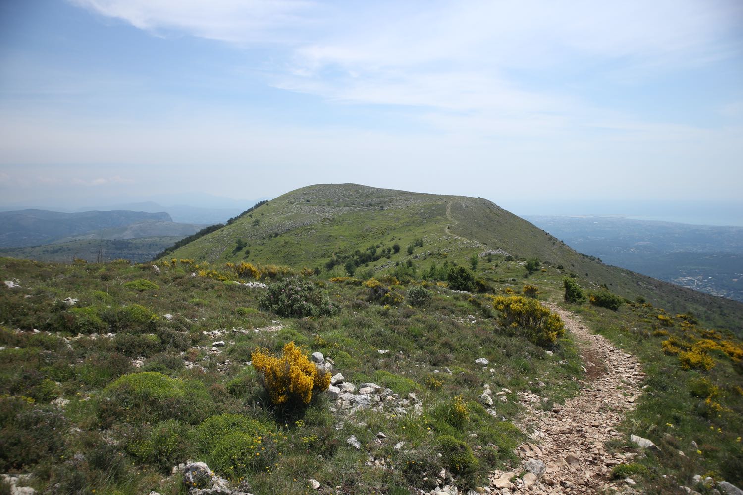
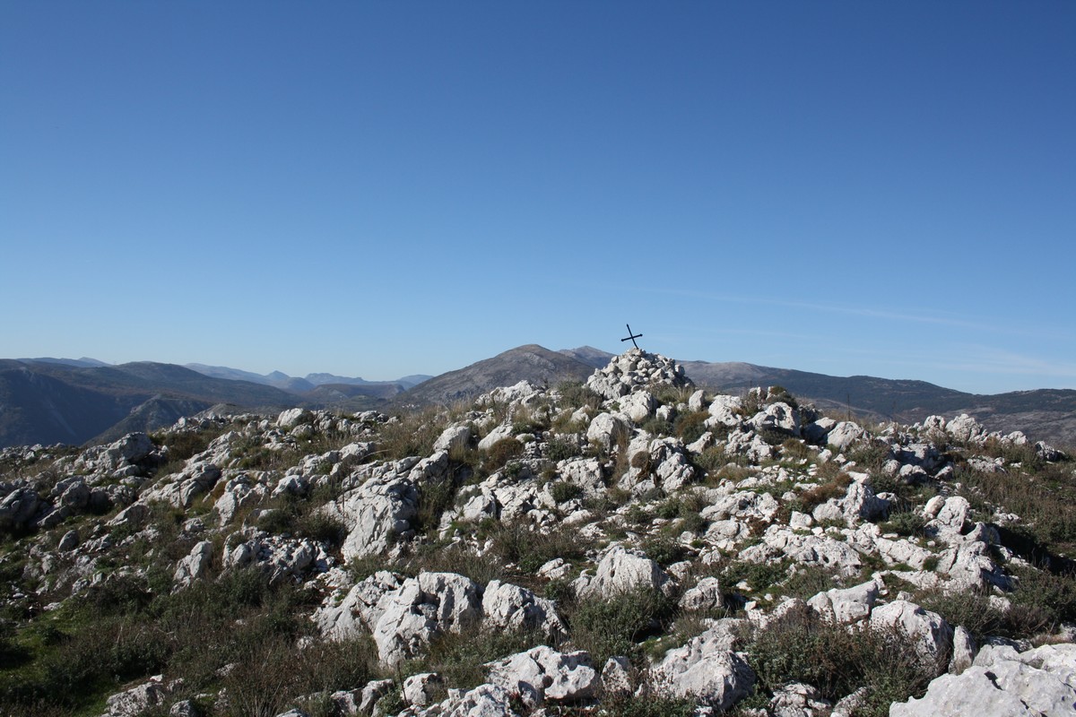
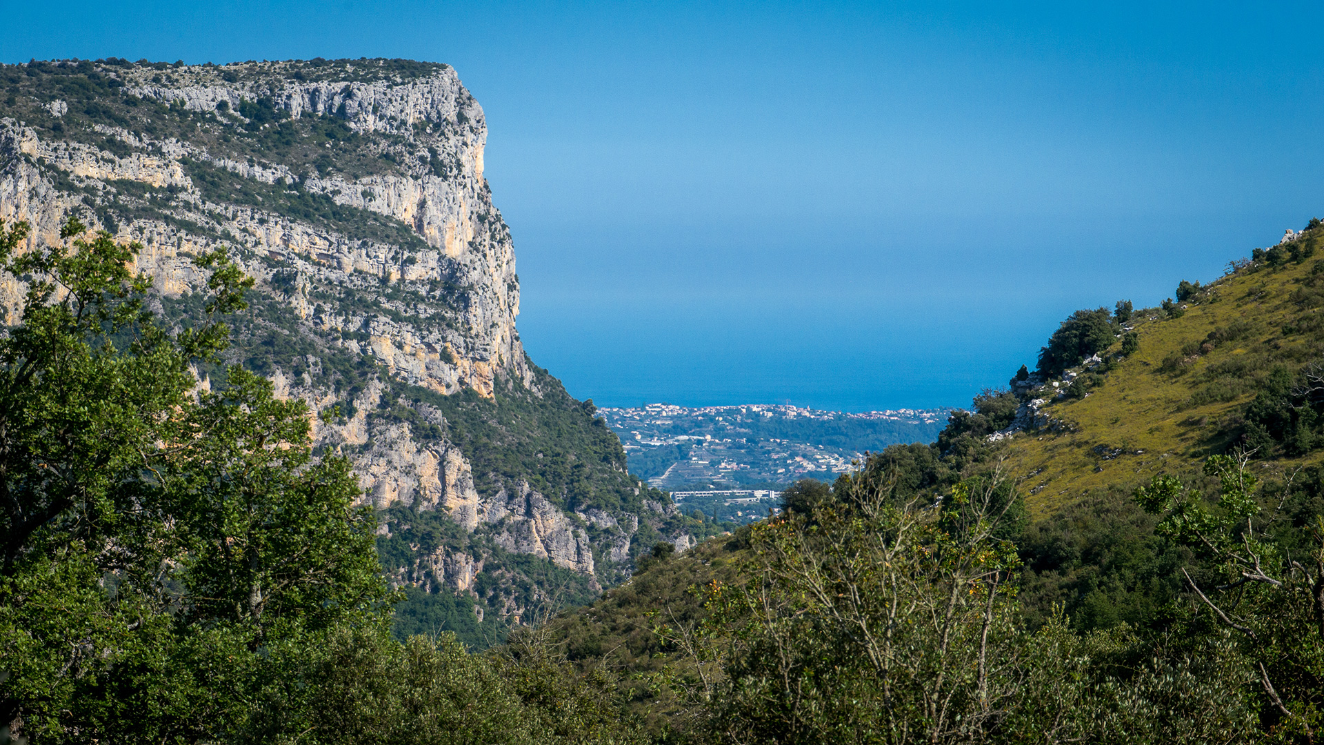
Walk in the park of Plan des Noves, between Vence and the Col de Vence. The trail offers little shade, but a beautiful view of the Baous massif and the sea.

Already more than 200,000 users!
Uphill
228m
Highest point
790m
Downhill
228m
Lowest point
645m
Route type
Loop
Download the map on your smartphone to save battery and rest assured to always keep access to the route, even without signal.
Includes IGN France and Swisstopo.
I indicate whether dogs are allowed or prohibited on this trail
All year
1 rating
Also enjoy:

Already more than 200,000 users!