Uphill
417m
France > Provence-Alpes-Côte d'Azur > Alpes-Maritimes > Préalpes d'Azur Regional Natural Park
Length
6km
Duration
3h
Elev gain
417m
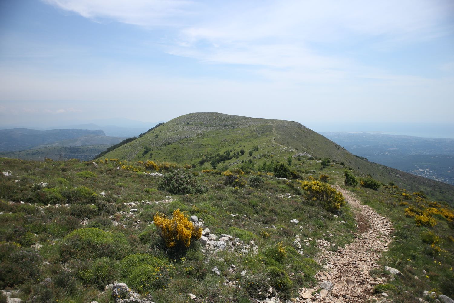
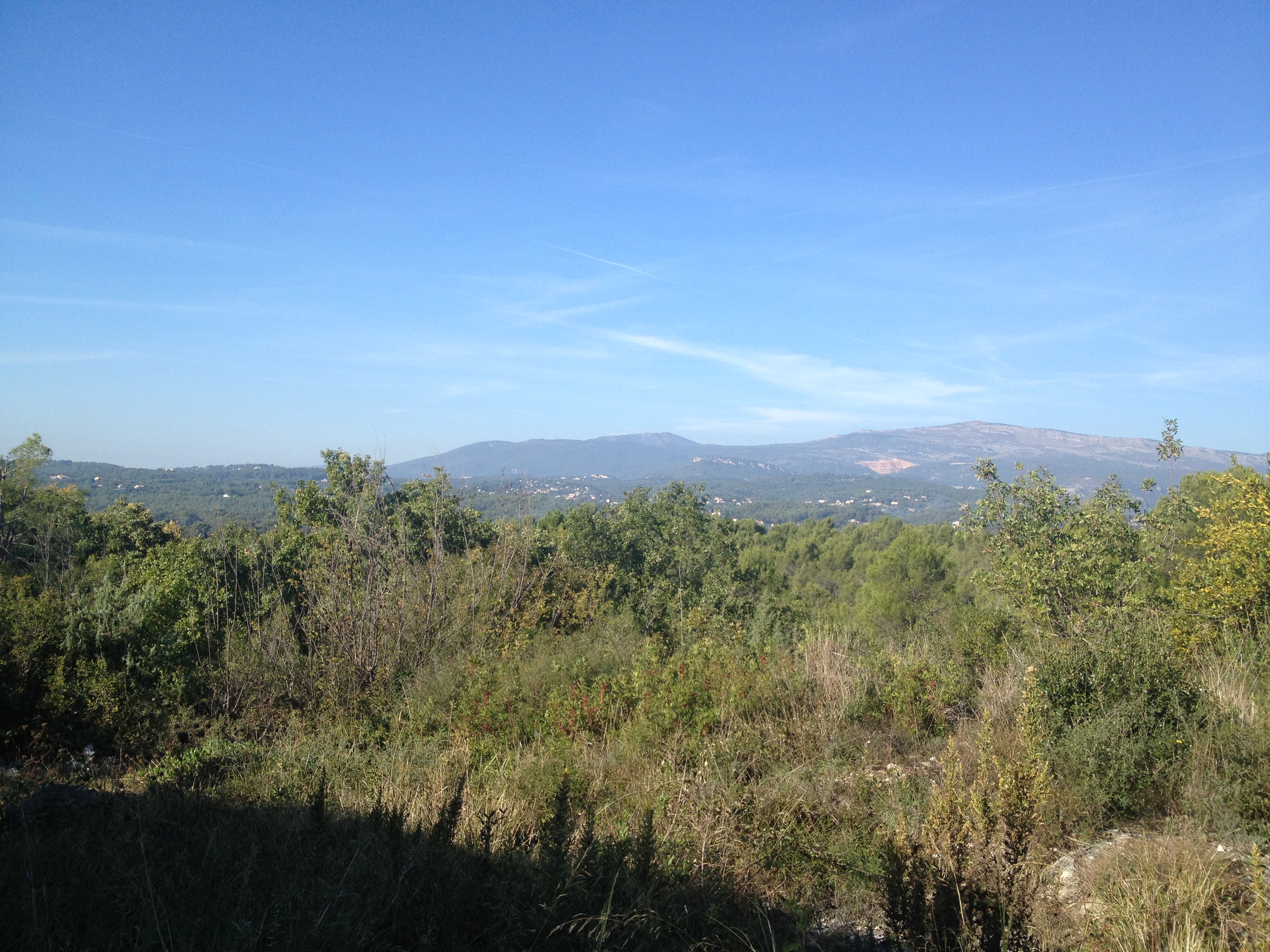
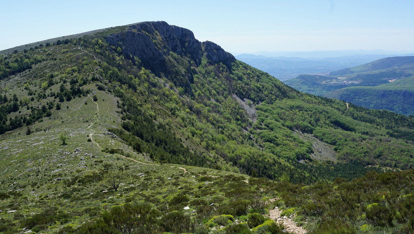
Departing from the Domaine de Courmettes, this short hike leads to a summit reaching 1,248 meters. The 360° view stretches from the Mediterranean Sea to the Mercantour mountains.

Already more than 200,000 users!
Uphill
417m
Highest point
1242m
Downhill
417m
Lowest point
820m
Route type
Loop
Download the map on your smartphone to save battery and rest assured to always keep access to the route, even without signal.
Includes IGN France and Swisstopo.
I indicate whether dogs are allowed or prohibited on this trail
Can be difficult in Winter
6 ratings
Also enjoy:

Already more than 200,000 users!