Uphill
215m
Length
7km
Duration
2h30min
Elev gain
215m
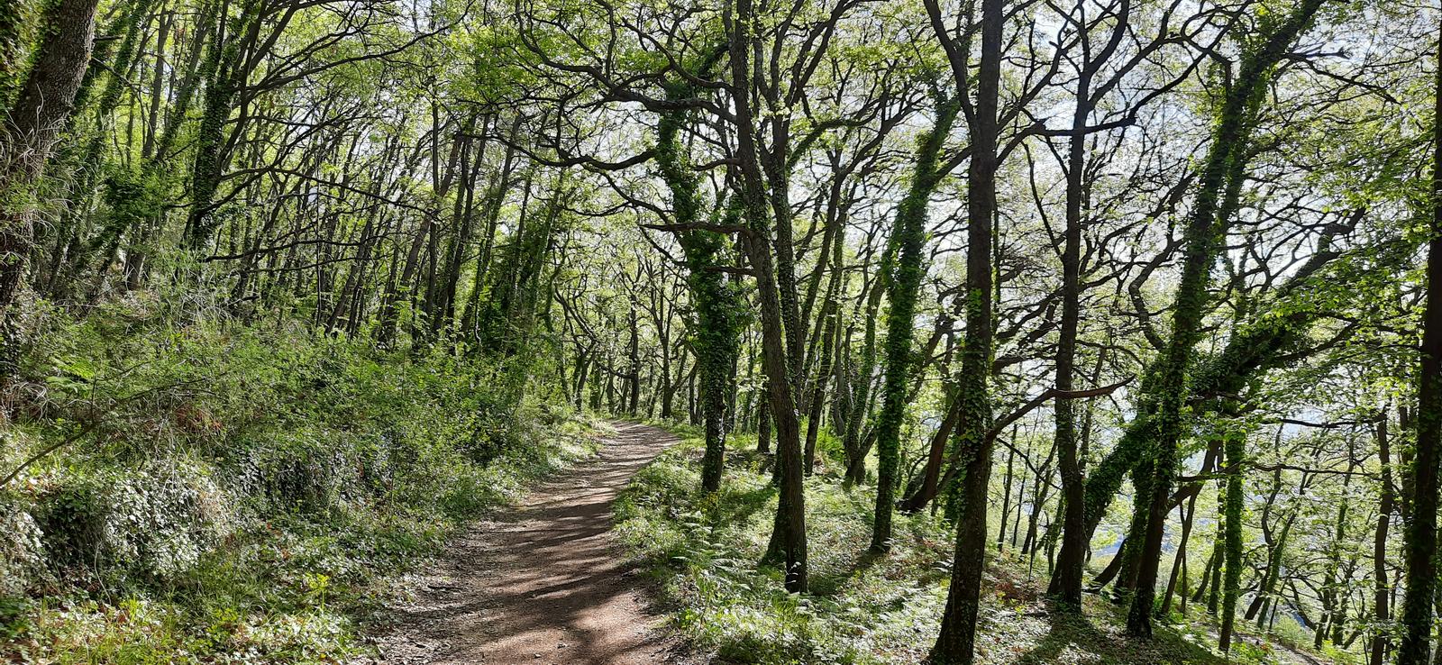
Departing from Le Rouret, this trail crosses a forest to reach a Roman camp dating from around 800 BC. Don't expect too much: these are walls covered with vegetation.
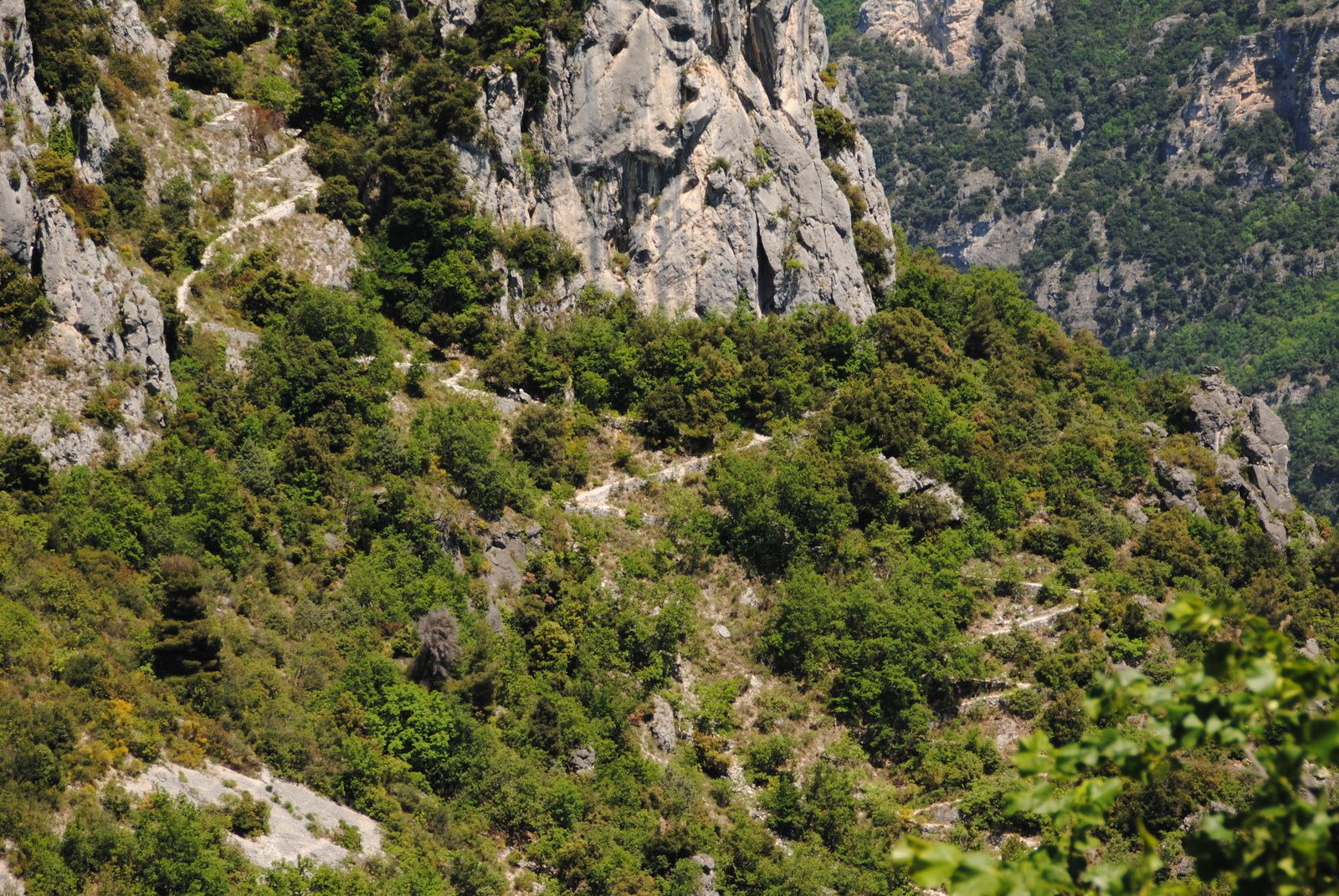
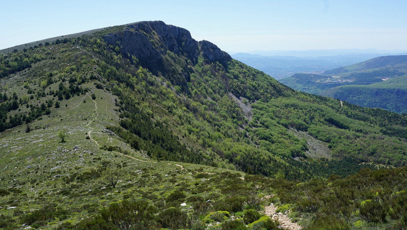
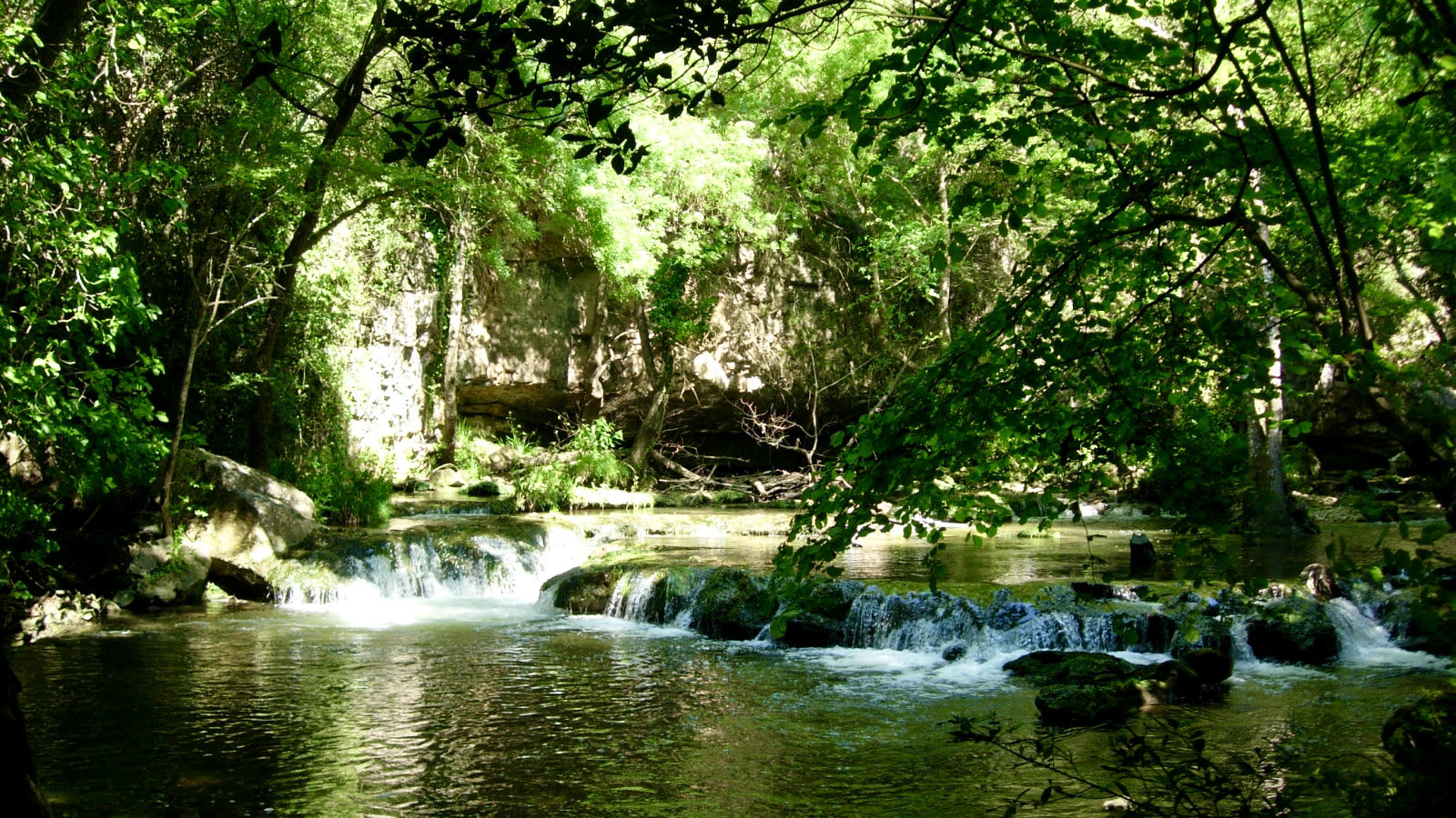
On the other hand, nice view on the coast and the Gorges du Loup.

Already more than 200,000 users!
Uphill
215m
Highest point
473m
Downhill
215m
Lowest point
311m
Route type
Loop
Download the map on your smartphone to save battery and rest assured to always keep access to the route, even without signal.
Includes IGN France and Swisstopo.
I indicate whether dogs are allowed or prohibited on this trail
All year
3 ratings
Also enjoy:

Already more than 200,000 users!