Uphill
187m
Length
7km
Duration
2h30min
Elev gain
187m
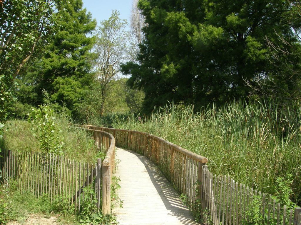
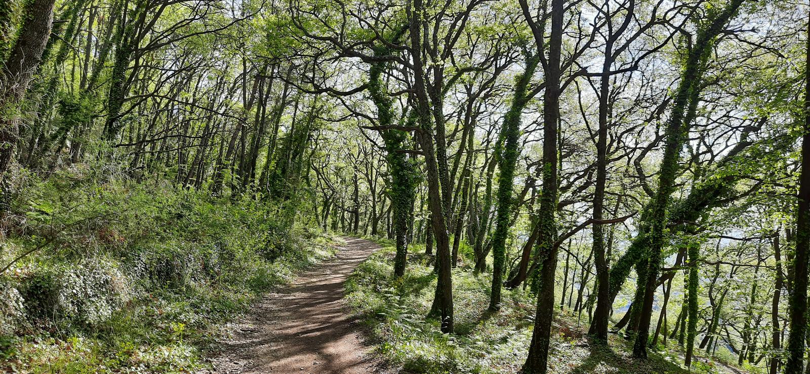
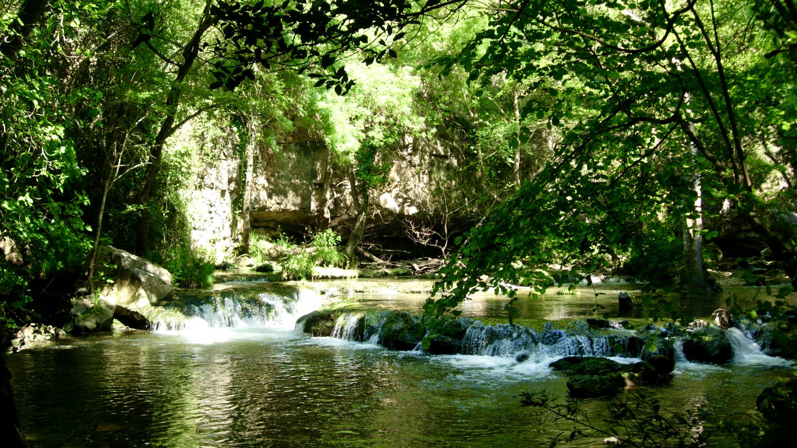
Stroll in the undergrowth along the Brague, a coastal river, to the Bruguet waterfall. The circuit follows the Tamarins track and the Brague discovery trail.

Already more than 200,000 users!
Uphill
187m
Highest point
209m
Downhill
187m
Lowest point
74m
Route type
Loop
Download the map on your smartphone to save battery and rest assured to always keep access to the route, even without signal.
Includes IGN France and Swisstopo.
I indicate whether dogs are allowed or prohibited on this trail
All year
6 ratings
Il y a des chemins qui sont dangereux et très en pente. Sinon sympa.
Also enjoy:

Already more than 200,000 users!