Uphill
342m
France > Provence-Alpes-Côte d'Azur > Alpes-Maritimes > Préalpes d'Azur Regional Natural Park
Length
6km
Duration
2h30min
Elev gain
342m
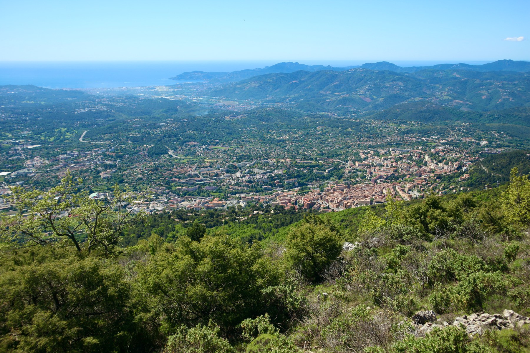
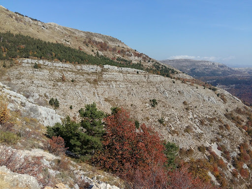
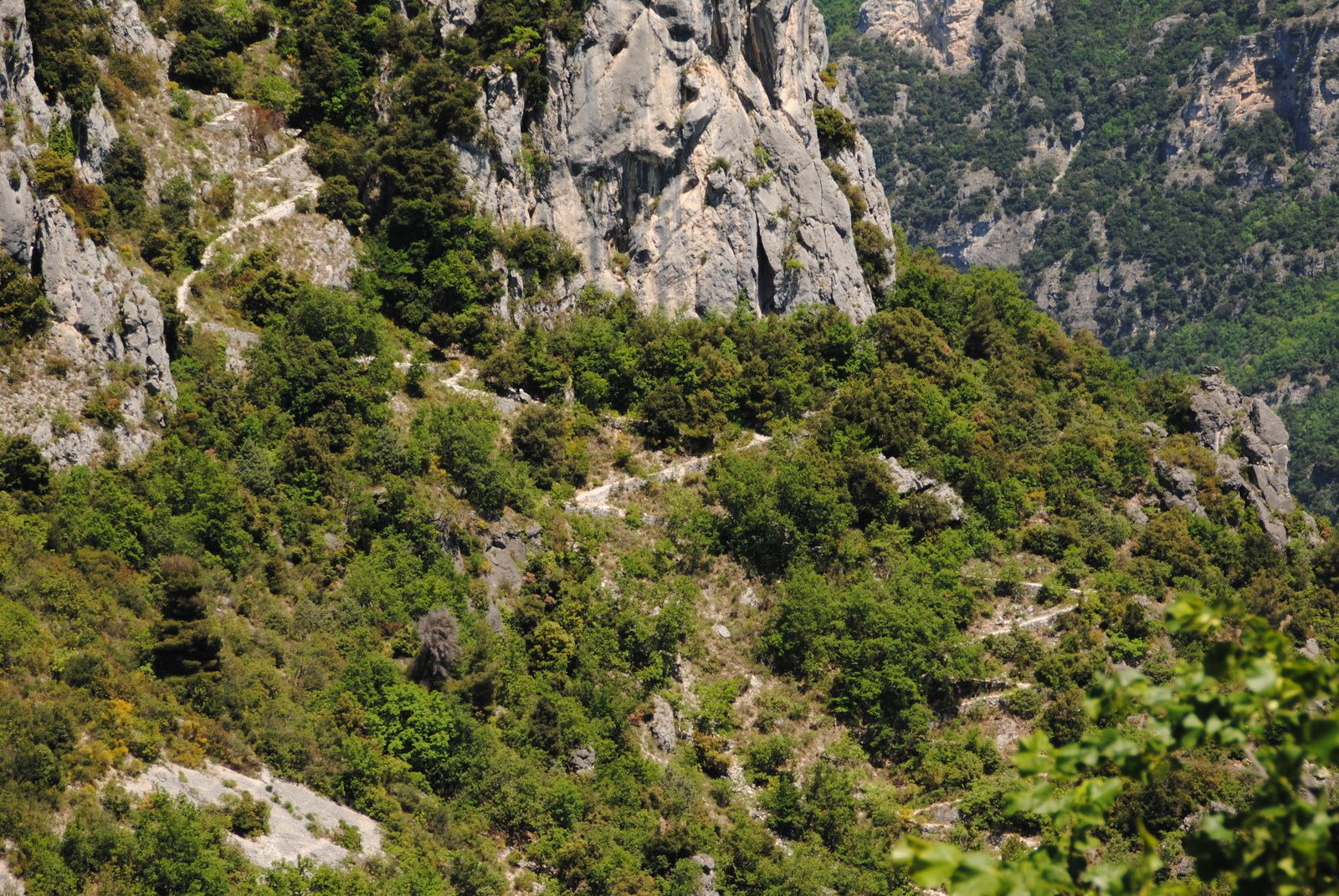
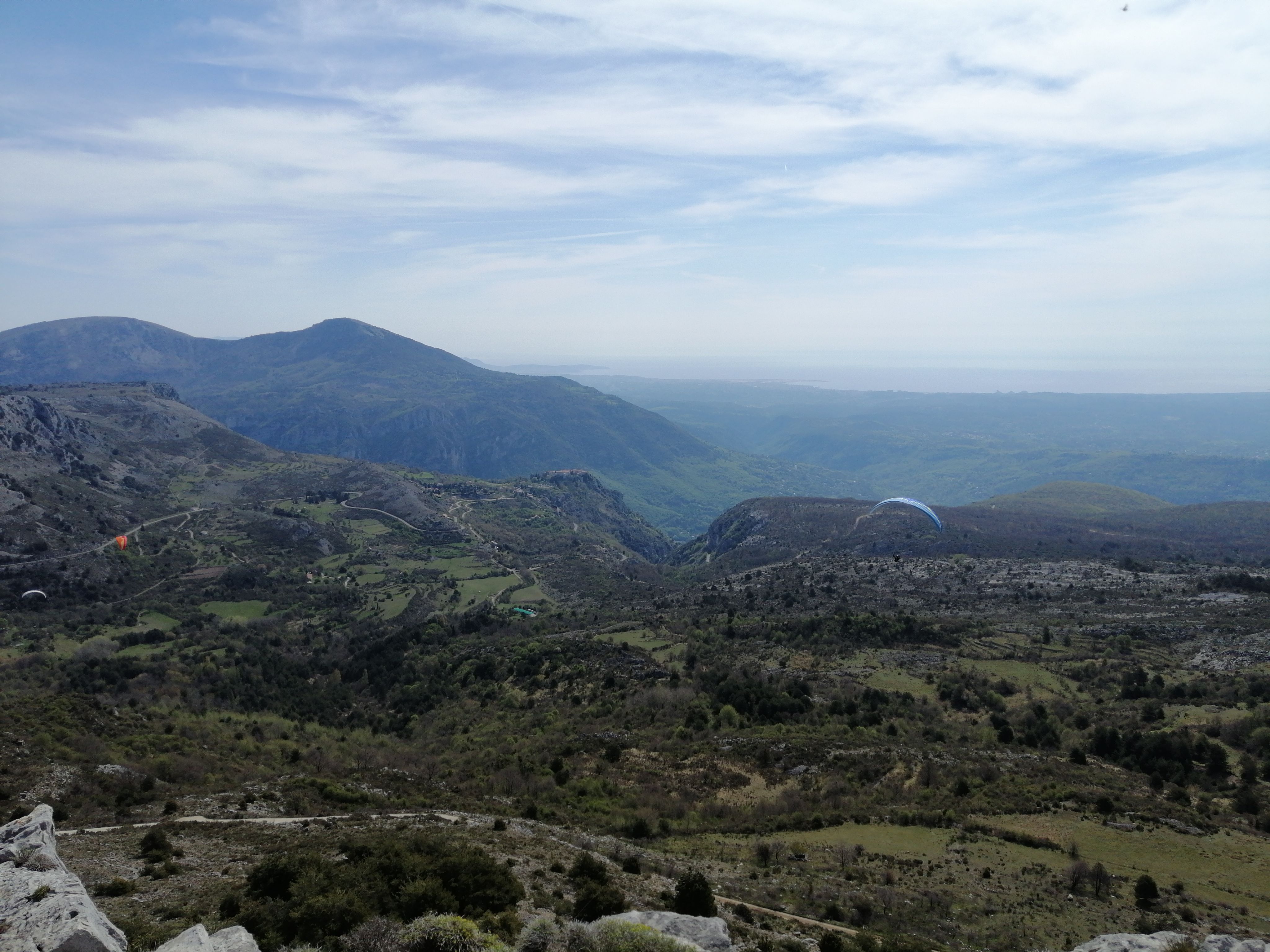
Close to Grasse, this hike begins along the Napoleon road and then continues through the Bois de la Marbrière. The views are very pretty. Be careful on the descent, the path is a bit rocky.

Already more than 200,000 users!
Uphill
342m
Highest point
899m
Downhill
342m
Lowest point
546m
Route type
Loop
Download the map on your smartphone to save battery and rest assured to always keep access to the route, even without signal.
Includes IGN France and Swisstopo.
I indicate whether dogs are allowed or prohibited on this trail
All year
2 ratings
Also enjoy:

Already more than 200,000 users!