Uphill
480m
France > Provence-Alpes-Côte d'Azur > Alpes-Maritimes > Préalpes d'Azur Regional Natural Park
Length
14km
Duration
5h
Elev gain
480m
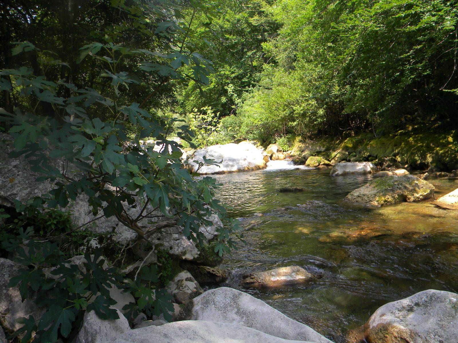
Refreshing stroll along the Siagne and centuries-old trees.

Already more than 200,000 users!
Uphill
480m
Highest point
476m
Downhill
480m
Lowest point
95m
Route type
Loop
Download the map on your smartphone to save battery and rest assured to always keep access to the route, even without signal.
Includes IGN France and Swisstopo.
I indicate whether dogs are allowed or prohibited on this trail
All year
0 ratings
Also enjoy:

Already more than 200,000 users!


