Uphill
256m
Length
13km
Duration
4h
Elev gain
256m
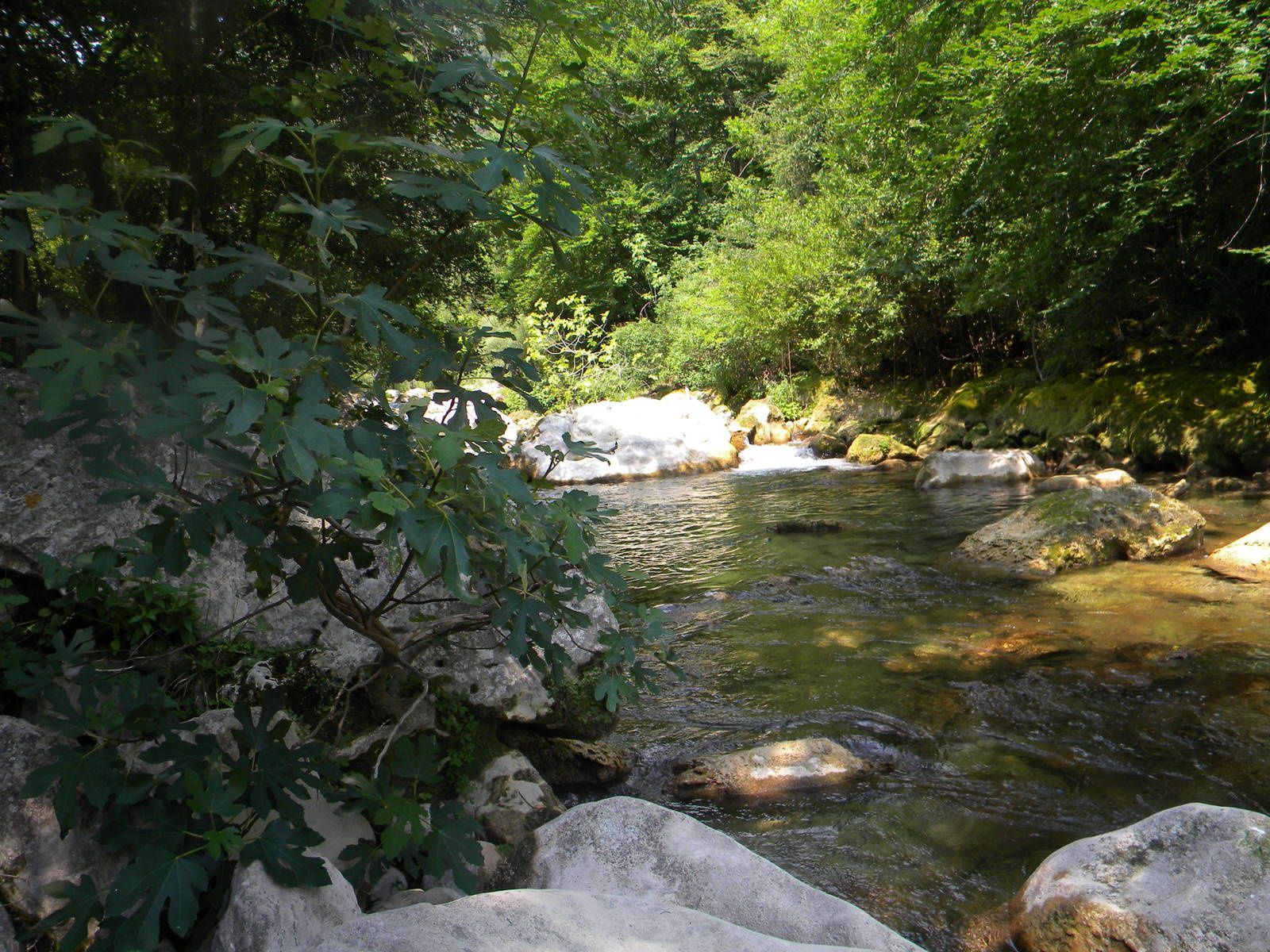
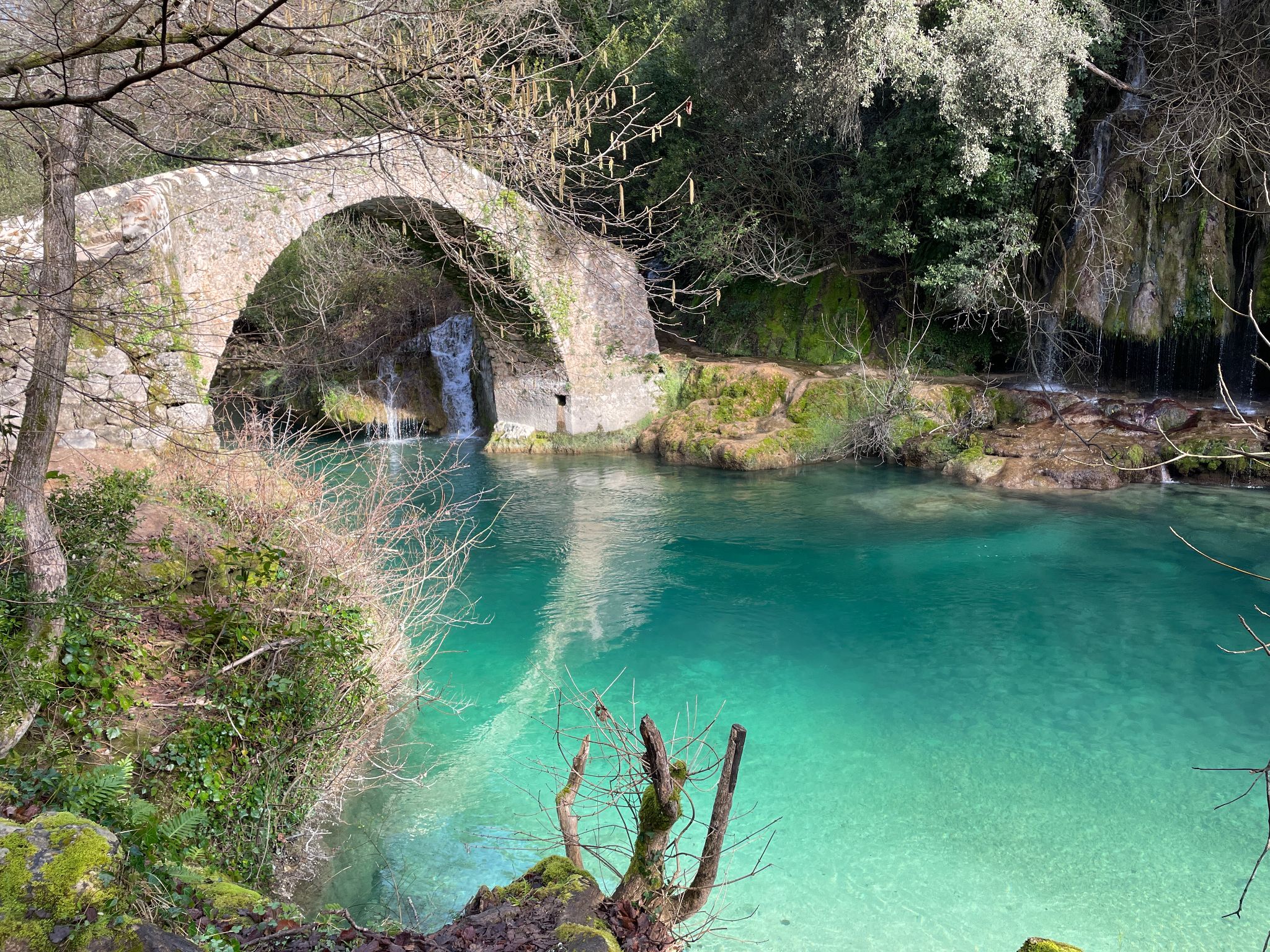
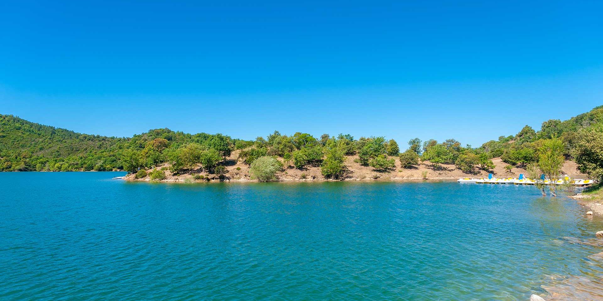
This hike begins with a small climb, which allows you to benefit from a nice panorama of this artificial lake created in 1966. The second half of the walk takes place near the shores of the lake, which can be reached by many cul-de-sac paths.

Already more than 200,000 users!
Uphill
256m
Highest point
342m
Downhill
256m
Lowest point
147m
Route type
Loop
Download the map on your smartphone to save battery and rest assured to always keep access to the route, even without signal.
Includes IGN France and Swisstopo.
I indicate whether dogs are allowed or prohibited on this trail
All year
2 ratings
Also enjoy:

Already more than 200,000 users!