Uphill
864m

Length
25km
Duration
8h30min
Elev gain
864m
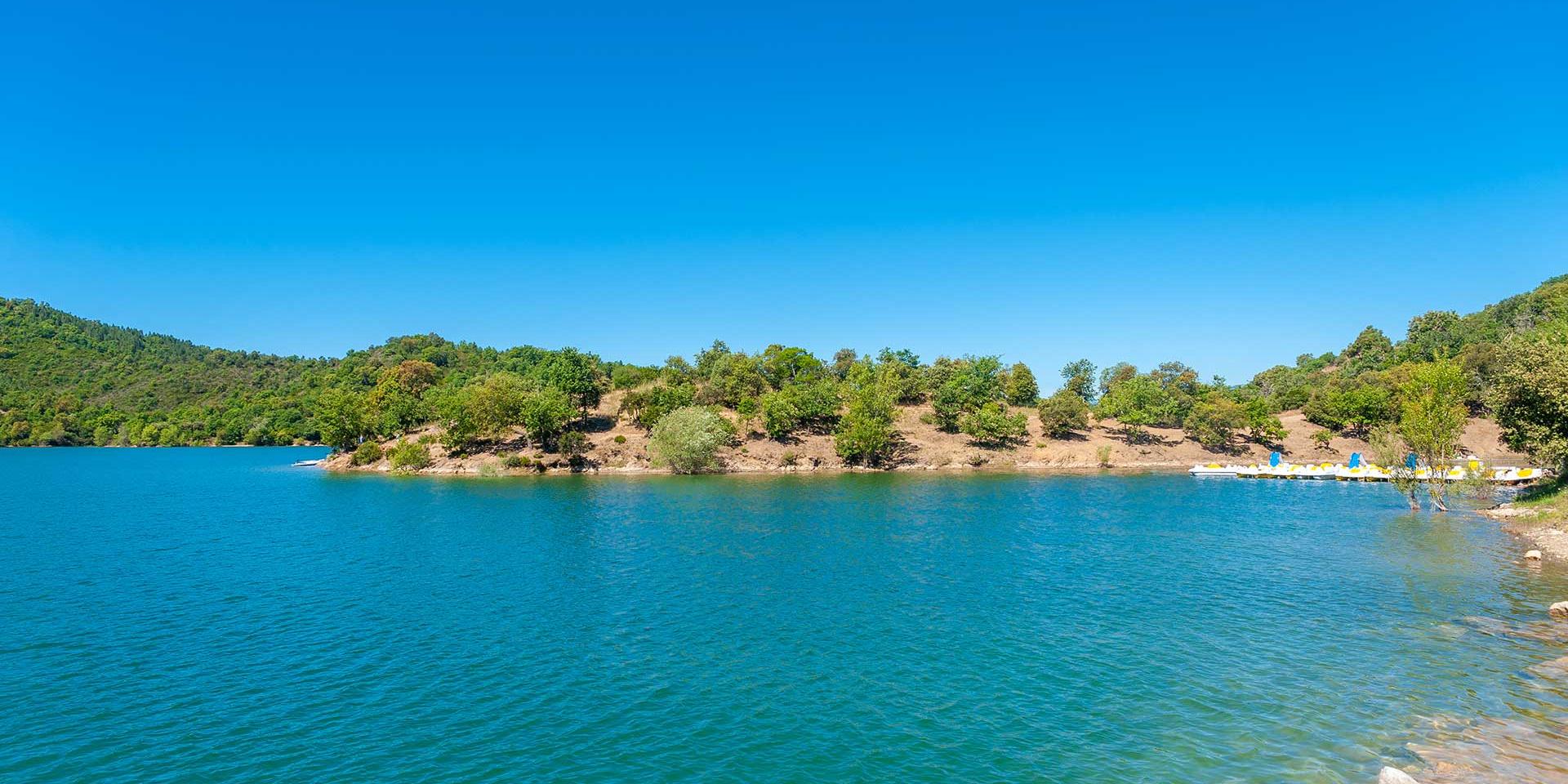
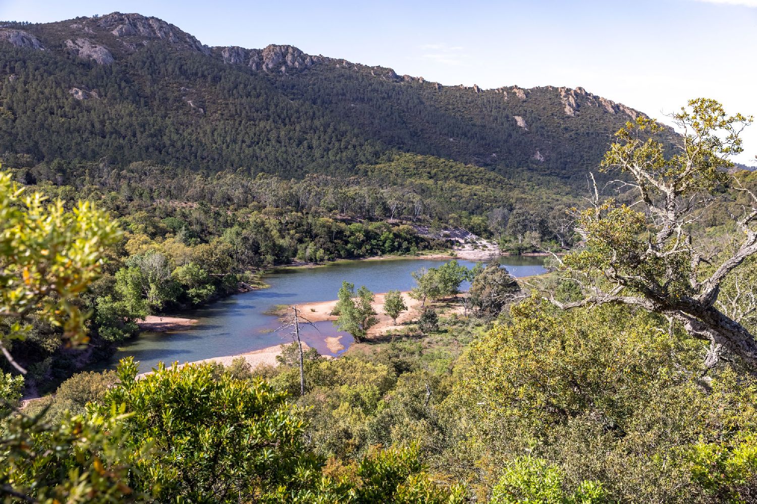
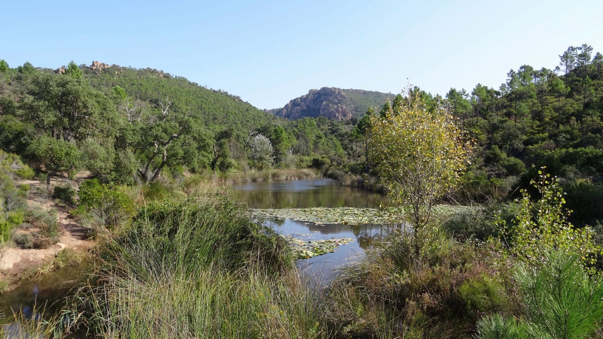
Here is a long and challenging hike through many points of interest in the Esterel: col de l'aire de l'Olivier, Haut-Lac Nénuphar, Baisse Violette, Maison Forestière des Trois Thermes, Col des Survières, and Mont Vinaigre ( 618 m).

Already more than 200,000 users!
Uphill
864m
Highest point
594m
Downhill
864m
Lowest point
249m
Route type
Loop
Download the map on your smartphone to save battery and rest assured to always keep access to the route, even without signal.
Includes IGN France and Swisstopo.
I indicate whether dogs are allowed or prohibited on this trail
All year
0 ratings
Also enjoy:

Already more than 200,000 users!