Uphill
417m

Length
11km
Duration
4h
Elev gain
417m
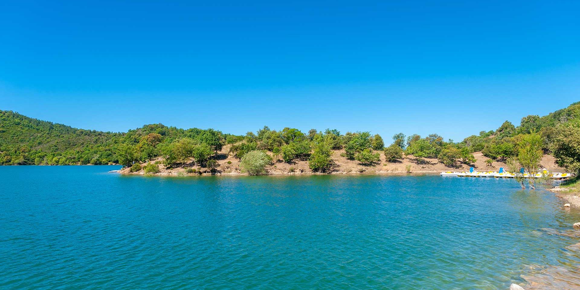
Ascent of Mont Vinaigre (618 m), which offers a view of the bays of Cannes and Saint-Tropez.

Already more than 200,000 users!
Uphill
417m
Highest point
594m
Downhill
417m
Lowest point
307m
Route type
Loop
Download the map on your smartphone to save battery and rest assured to always keep access to the route, even without signal.
Includes IGN France and Swisstopo.
I indicate whether dogs are allowed or prohibited on this trail
All year
3 ratings
Also enjoy:

Already more than 200,000 users!