Uphill
828m
France > Provence-Alpes-Côte d'Azur > Alpes-Maritimes > Mercantour National Park
Length
13km
Duration
6h30min
Elev gain
828m
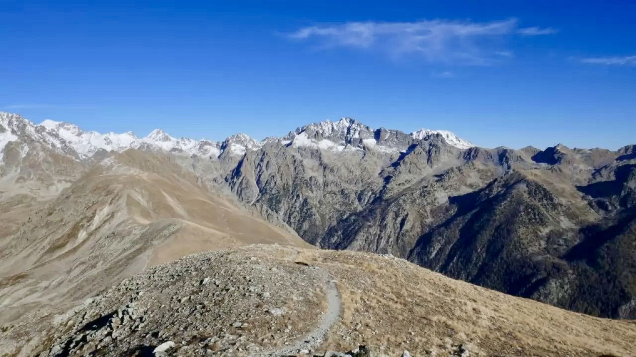
For this last day of the trek, the trail begins by crossing a pleasant forest area to the Plan de Prals. The route then makes a round trip to the Cime de la Valette de Prals, which offers a superb view against 200 meters of additional elevation. It is possible to avoid this round trip for those wishing to return more quickly.
Finally, the path descends into the Gorlodasque valley, and the last kilometers follow the road to reach the car park at the starting point.

Already more than 200,000 users!
Uphill
828m
Highest point
2496m
Downhill
1034m
Lowest point
1557m
Route type
One way
Download the map on your smartphone to save battery and rest assured to always keep access to the route, even without signal.
Includes IGN France and Swisstopo.
I indicate whether dogs are allowed or prohibited on this trail
From June to September
1 rating
Also enjoy:

Already more than 200,000 users!


