Uphill
27m
Length
8km
Duration
2h
Elev gain
27m
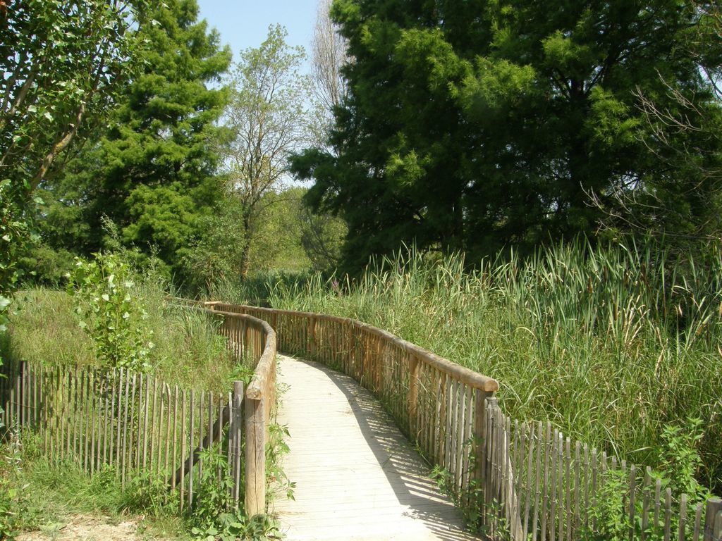
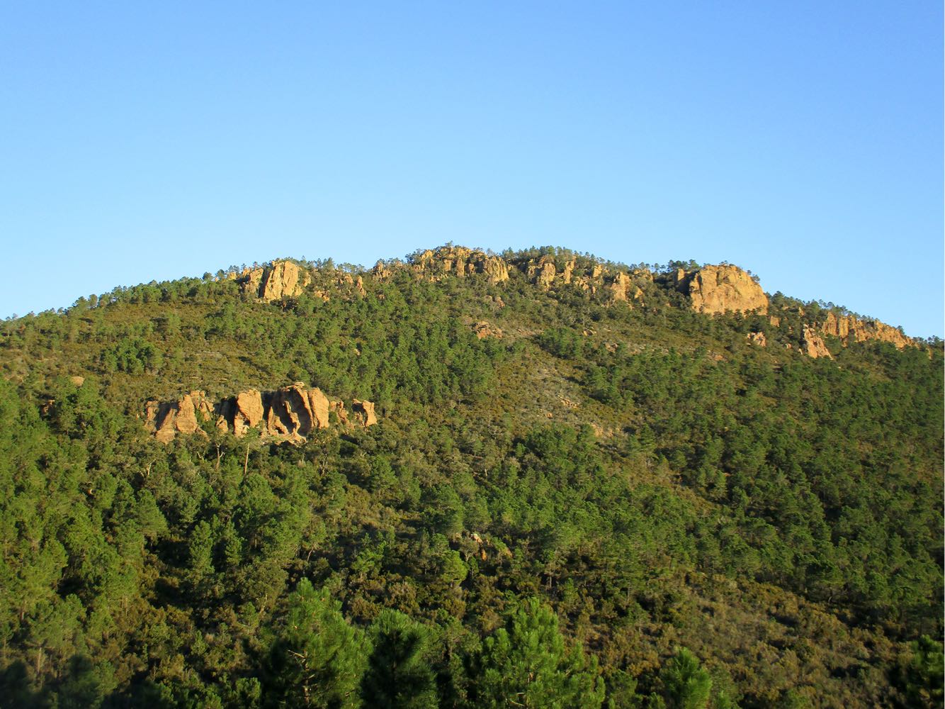
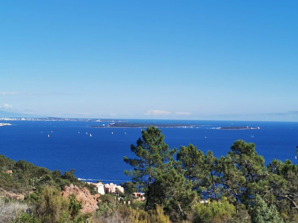
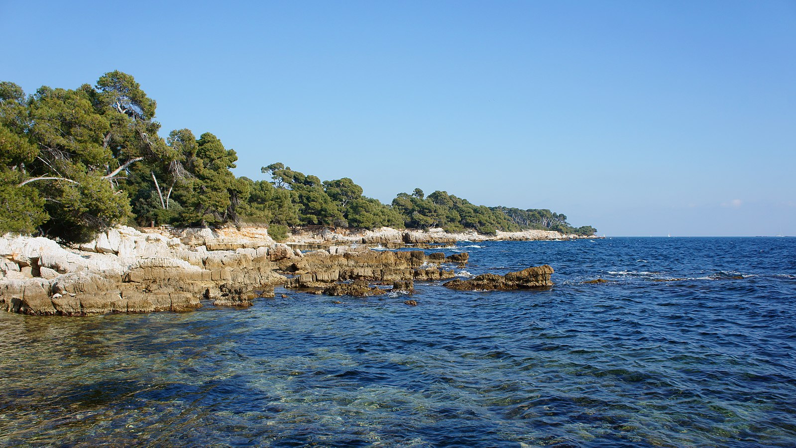
Tour of Île Sainte-Marguerite, the larger of the two Lérins islands located off Cannes. The walk begins at the fort, where the famous man in the iron mask was imprisoned, before continuing into wilder areas. The trail alternates between the seaside and an eucalyptus and pine forest.

Already more than 200,000 users!
Uphill
27m
Highest point
33m
Downhill
27m
Lowest point
0m
Route type
Loop
Download the map on your smartphone to save battery and rest assured to always keep access to the route, even without signal.
Includes IGN France and Swisstopo.
I indicate whether dogs are allowed or prohibited on this trail
All year
0 ratings
Also enjoy:

Already more than 200,000 users!