Uphill
567m
Length
18km
Duration
6h
Elev gain
567m
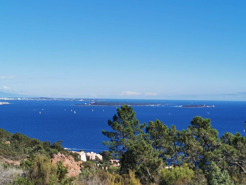
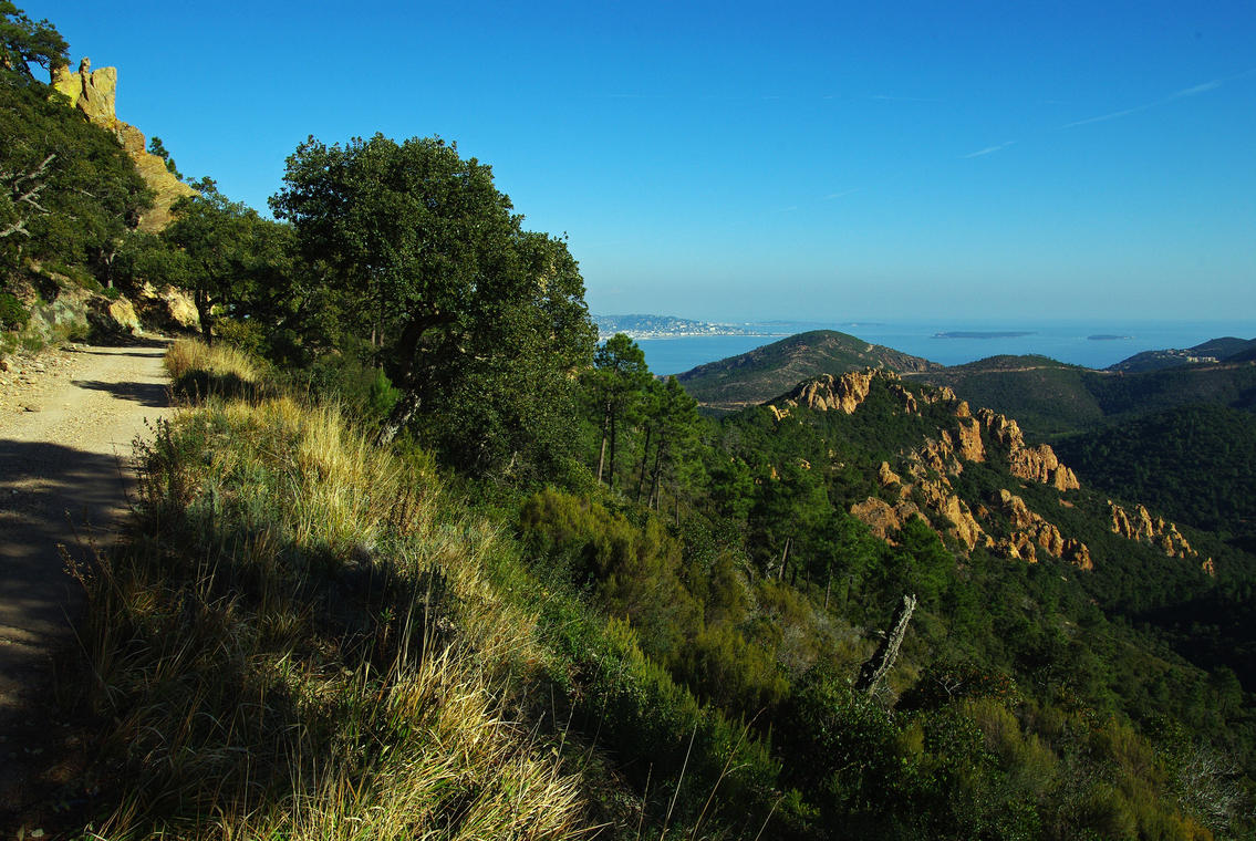
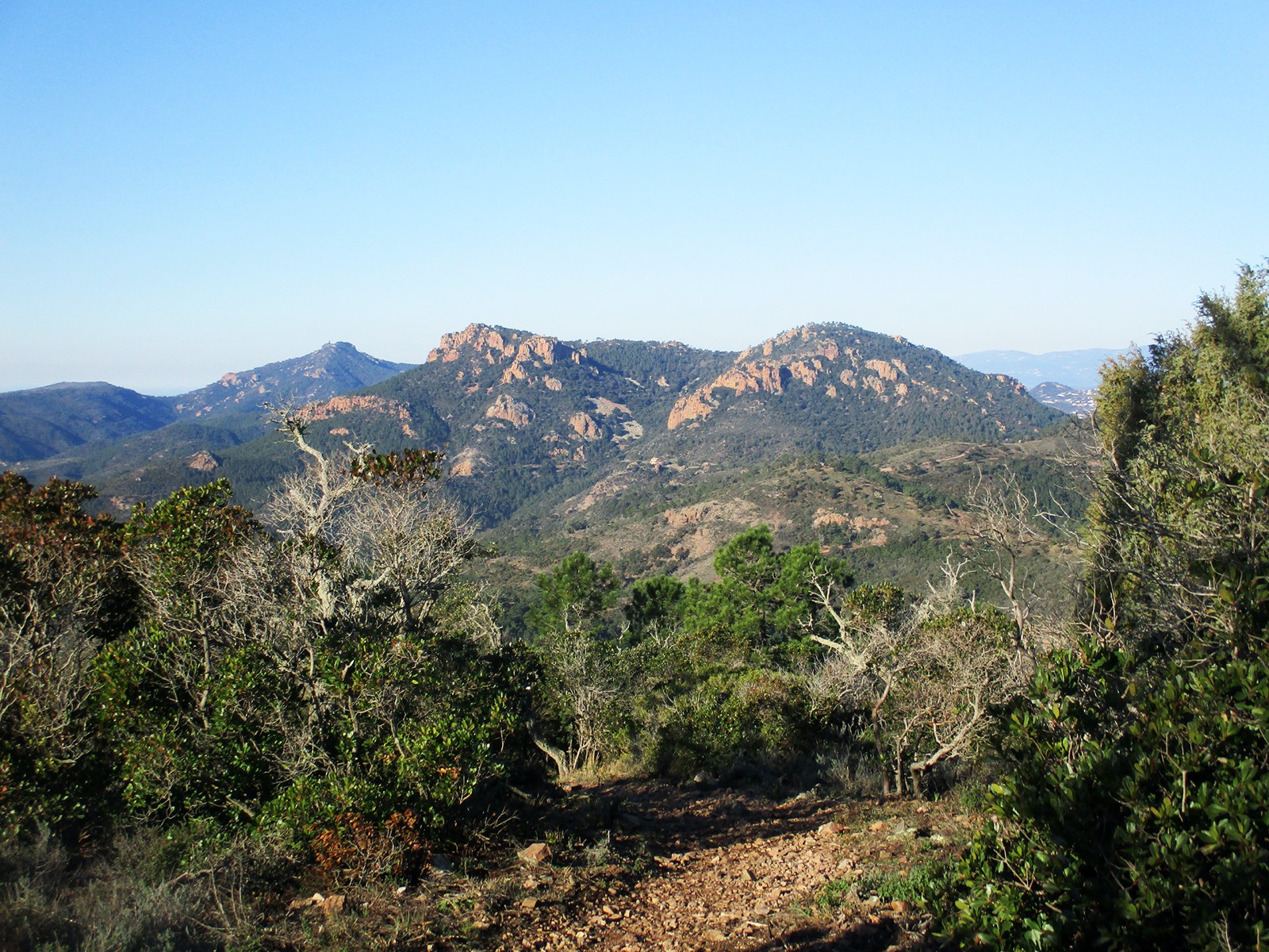
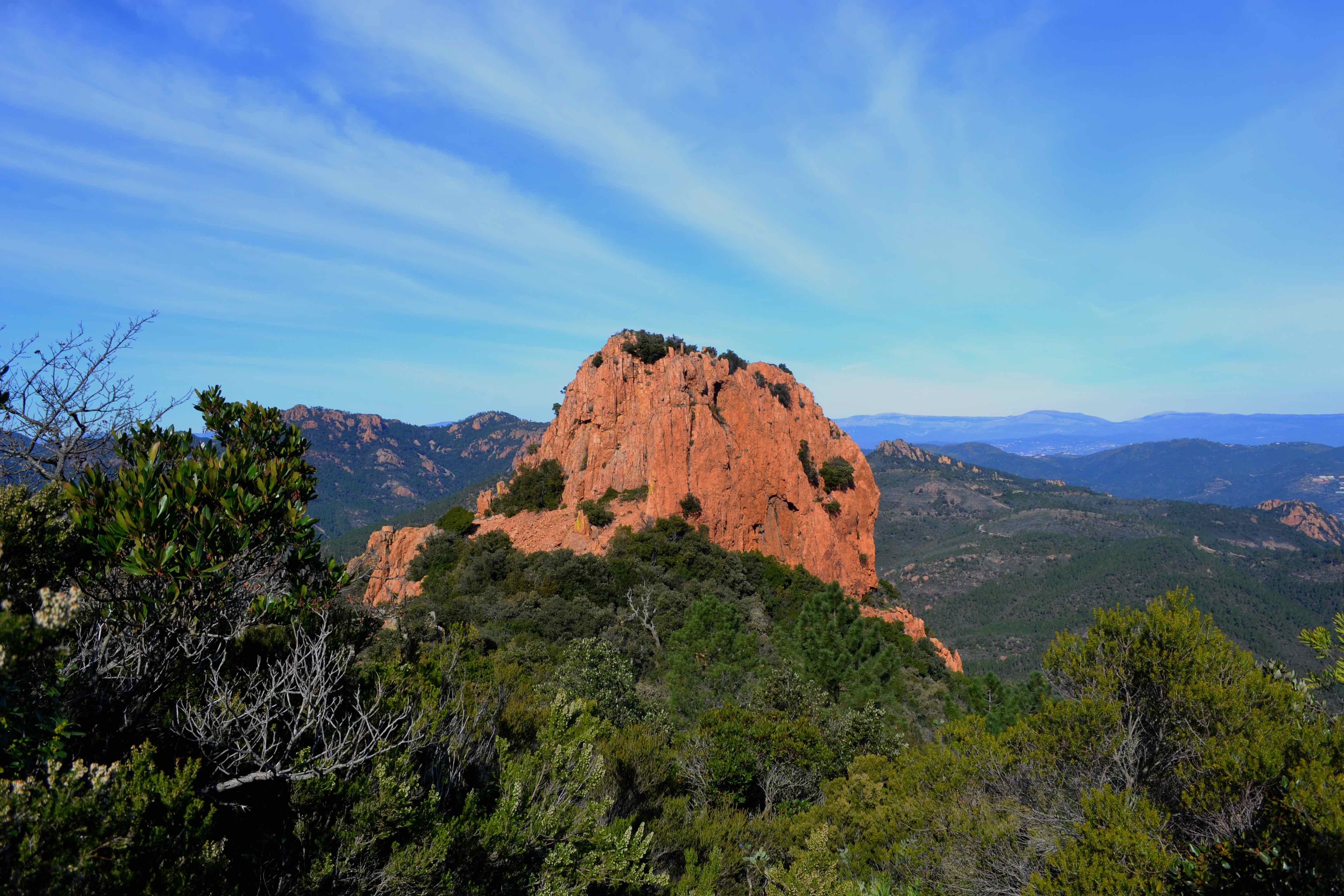
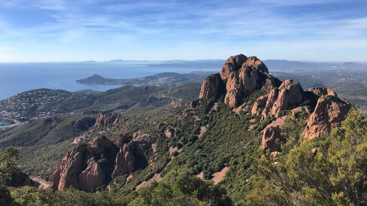
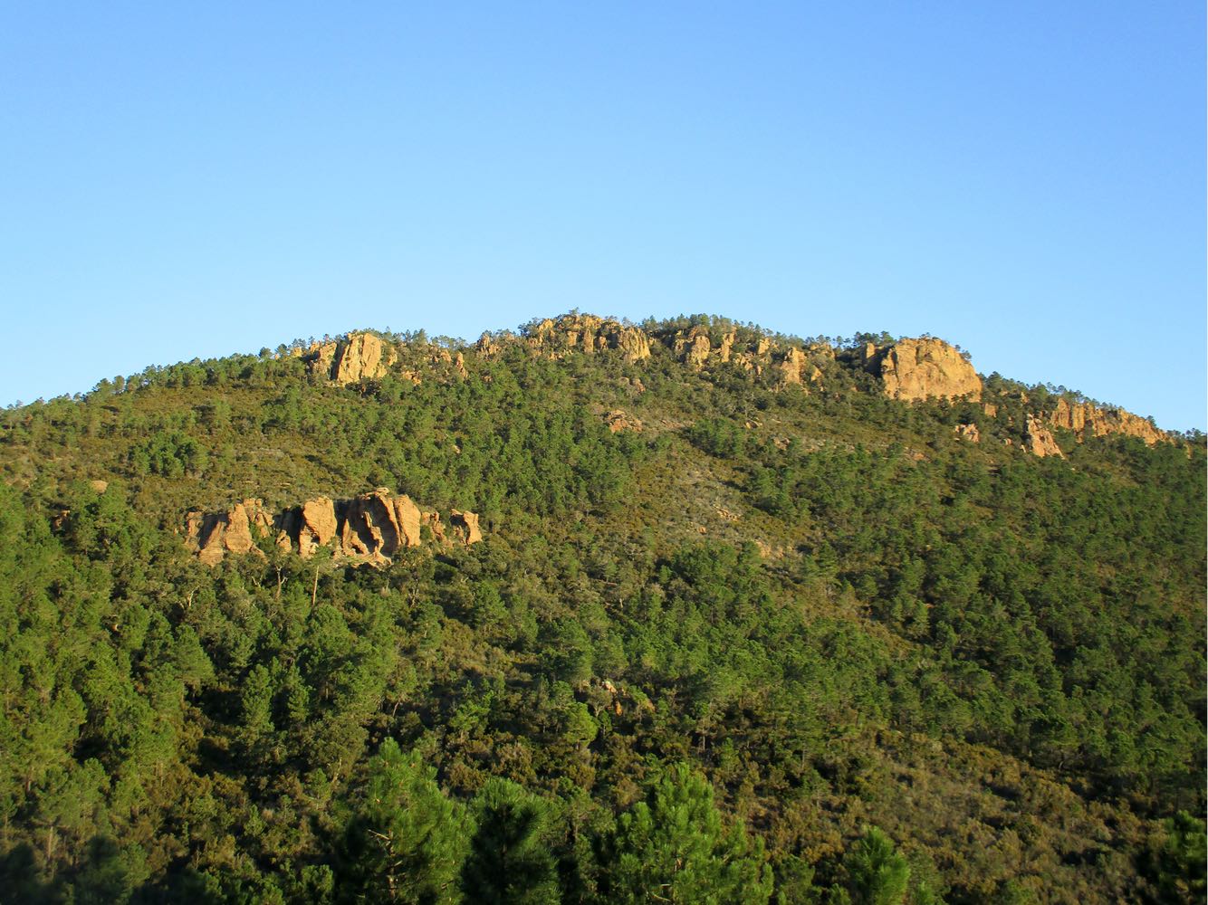
Walk surrounded by the red rocks of the Esterel, offering beautiful views of the massif as well as the bay of Théoule-sur-Mer and Cannes.

Already more than 200,000 users!
Uphill
567m
Highest point
321m
Downhill
561m
Lowest point
6m
Route type
Loop
Download the map on your smartphone to save battery and rest assured to always keep access to the route, even without signal.
Includes IGN France and Swisstopo.
No specific parking for this hike.
Gare de Théoule-sur-Mer nearby (TER).
I indicate whether dogs are allowed or prohibited on this trail
All year
0 ratings
Also enjoy:

Already more than 200,000 users!