Uphill
293m
Length
7km
Duration
2h30min
Elev gain
293m
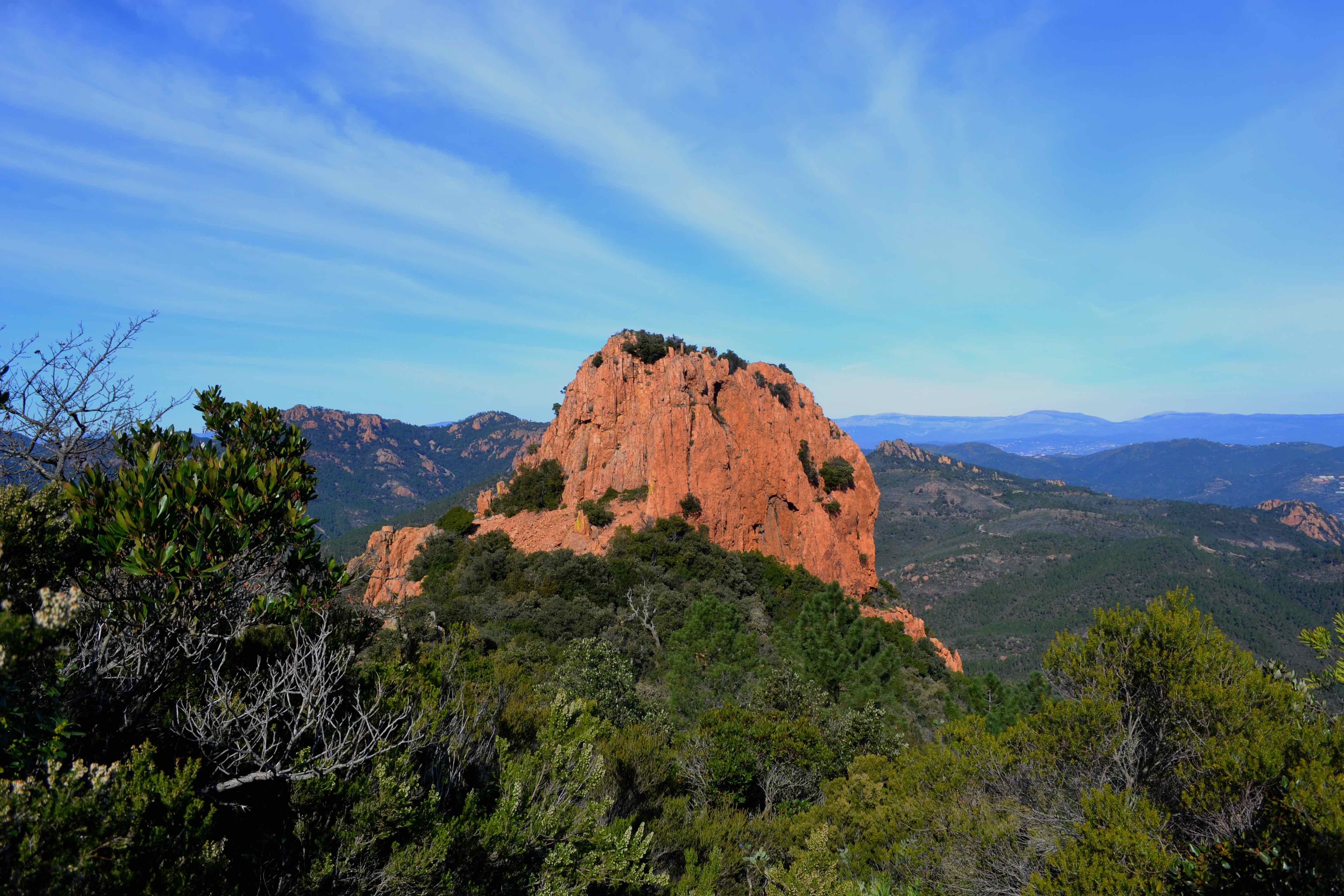
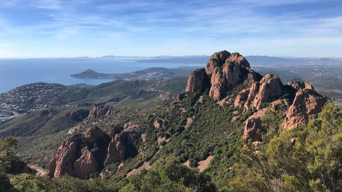
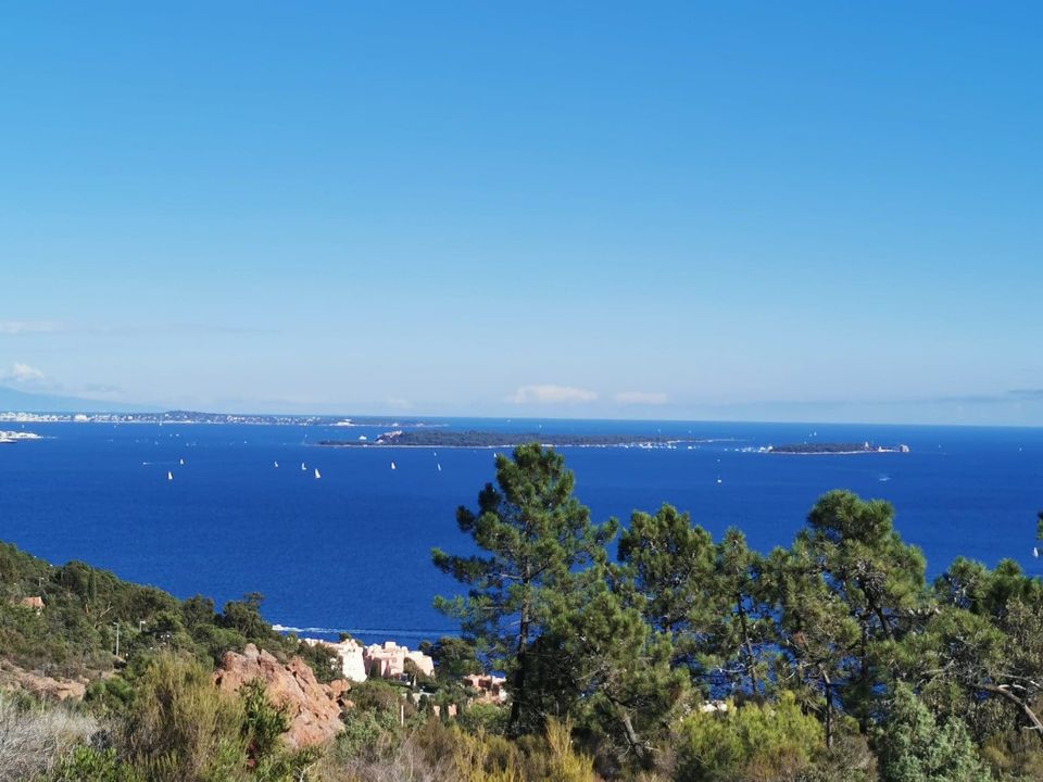
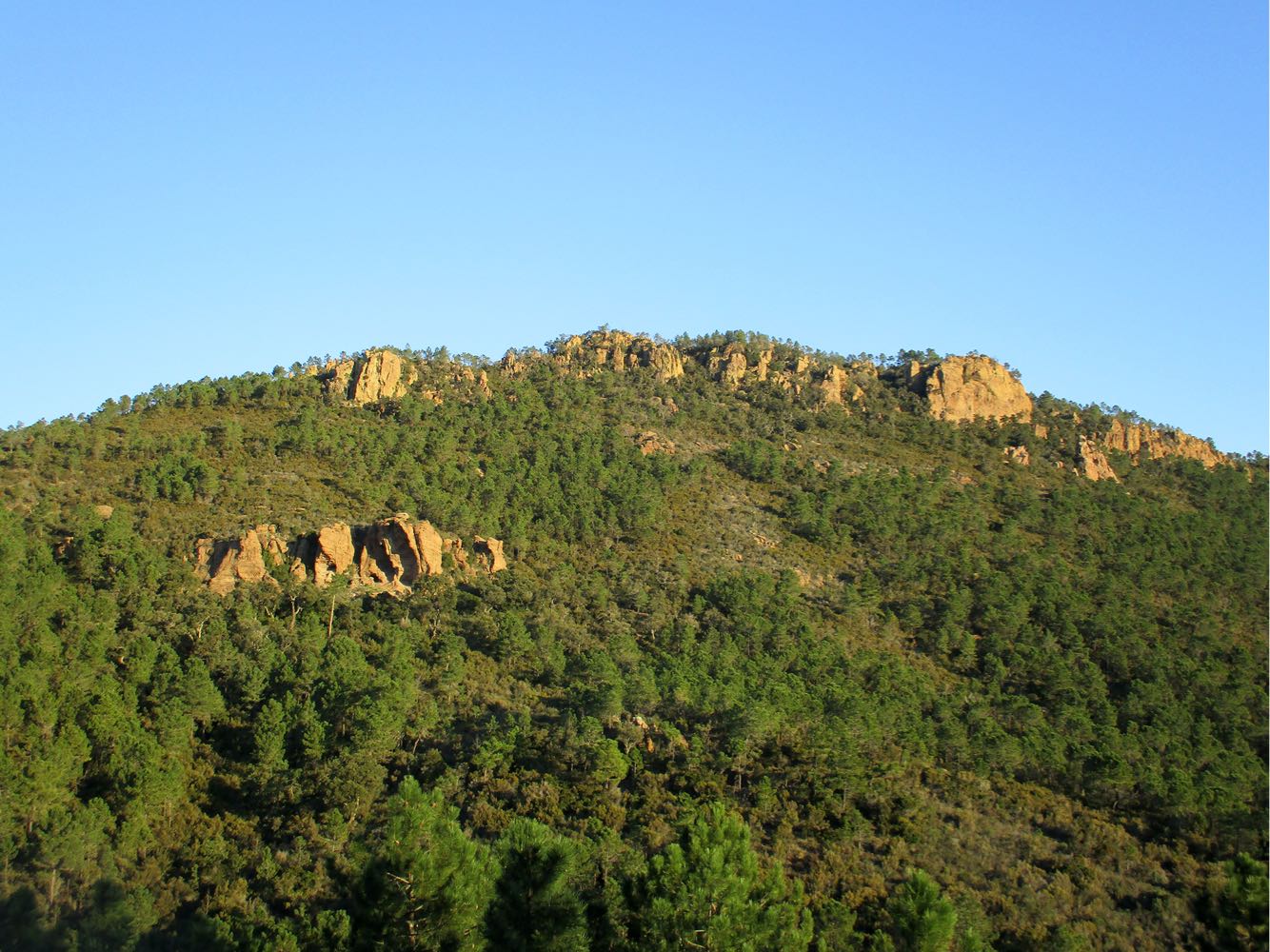
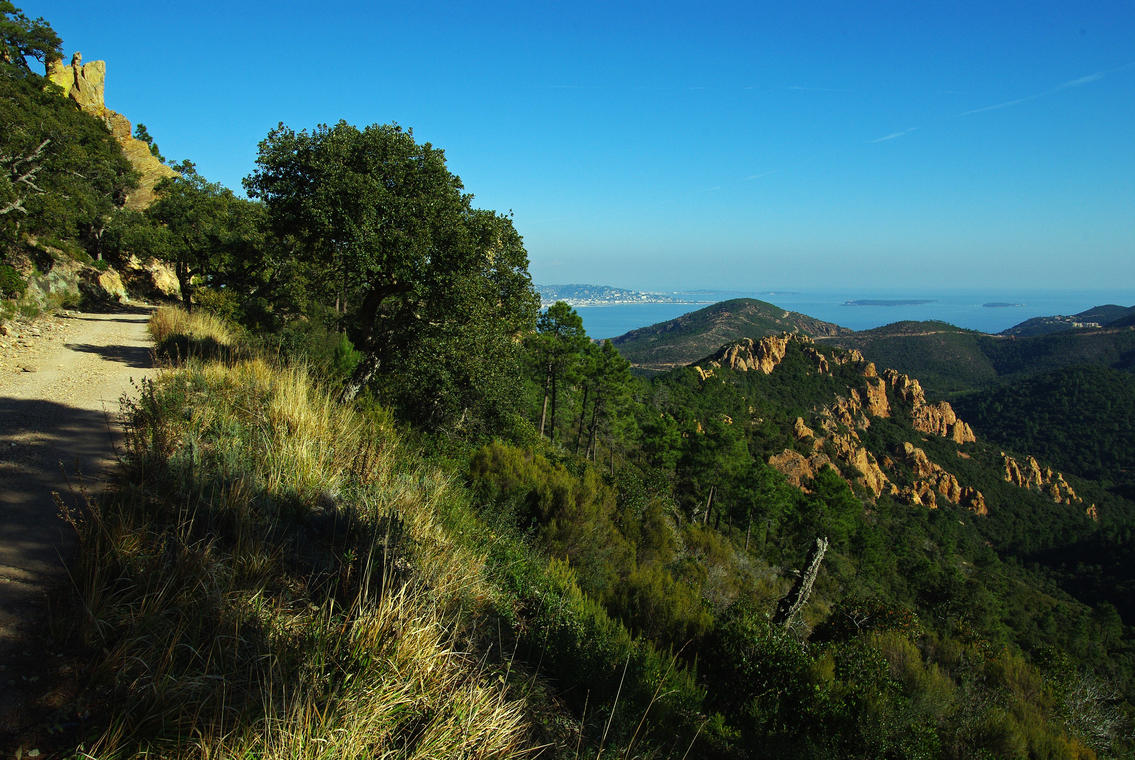
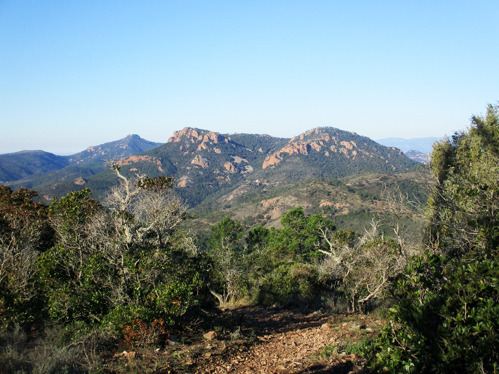
This walk allows you to discover the orange rocks of the Esterel massif, and to enjoy panoramas on the gulfs of Fréjus and Napoule, as well as on the Mercantour.

Already more than 200,000 users!
Uphill
293m
Highest point
432m
Downhill
293m
Lowest point
199m
Route type
Loop
Download the map on your smartphone to save battery and rest assured to always keep access to the route, even without signal.
Includes IGN France and Swisstopo.
I indicate whether dogs are allowed or prohibited on this trail
All year
0 ratings
Also enjoy:

Already more than 200,000 users!