Uphill
410m
Length
7km
Duration
3h
Elev gain
410m
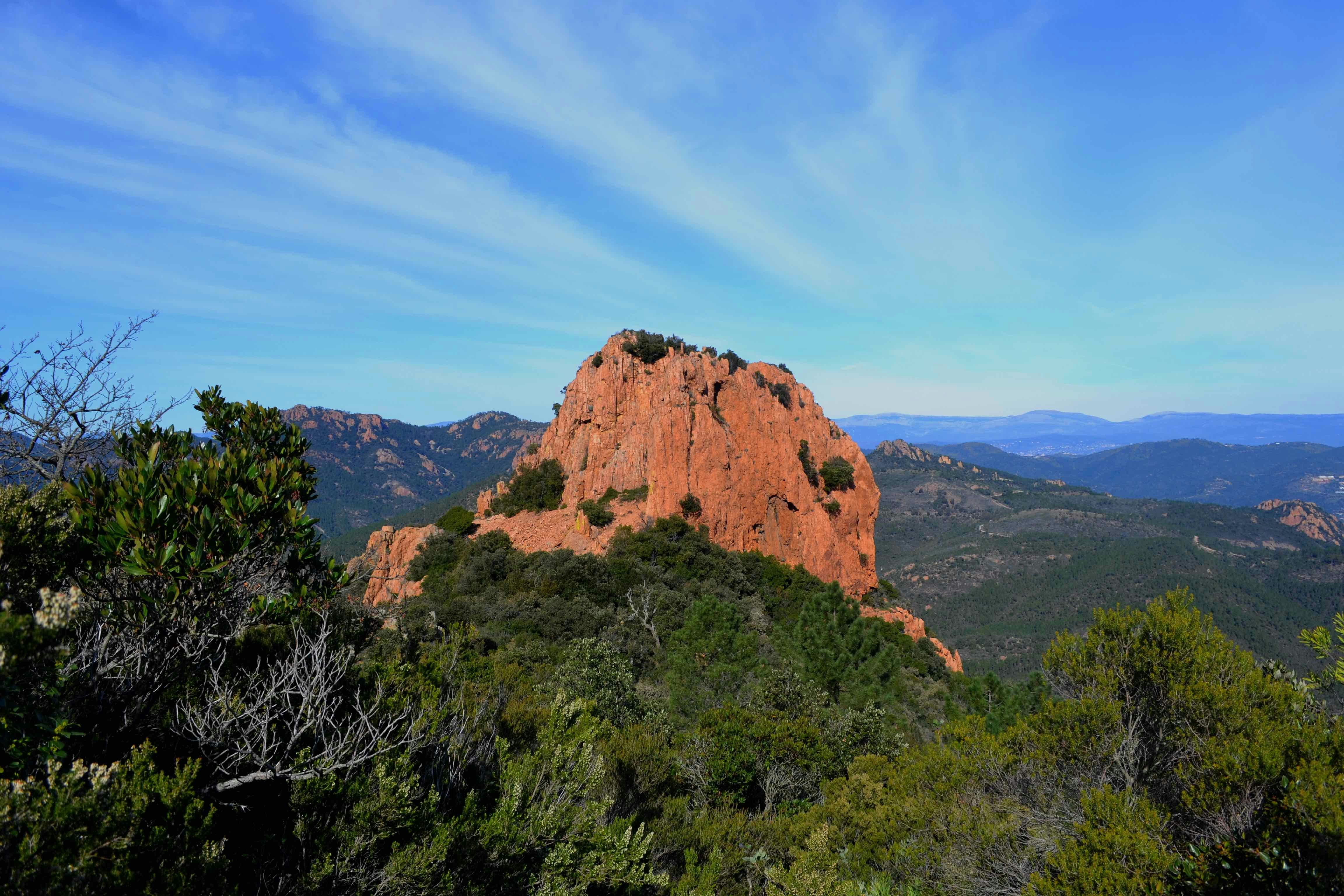
Hike at the Pic and the Dent de l'Ours, offering a magnificent view of the Esterel, the sea and the Alps.

Already more than 200,000 users!
Uphill
410m
Highest point
474m
Downhill
410m
Lowest point
120m
Route type
Loop
Download the map on your smartphone to save battery and rest assured to always keep access to the route, even without signal.
Includes IGN France and Swisstopo.
I indicate whether dogs are allowed or prohibited on this trail
All year
7 ratings
Also enjoy:

Already more than 200,000 users!


