Uphill
261m
Length
7km
Duration
2h30min
Elev gain
261m
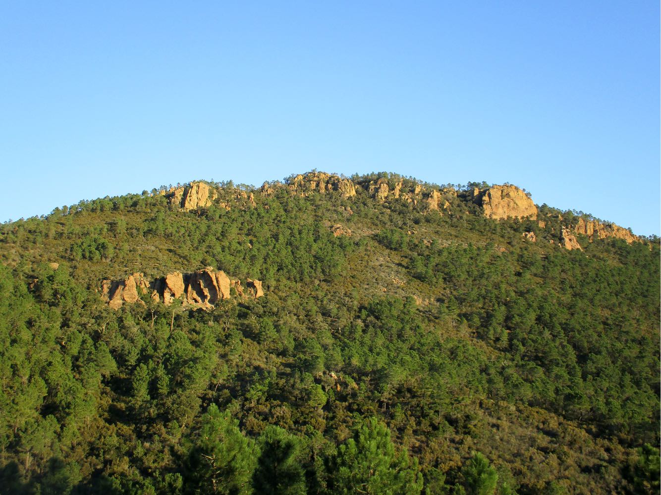
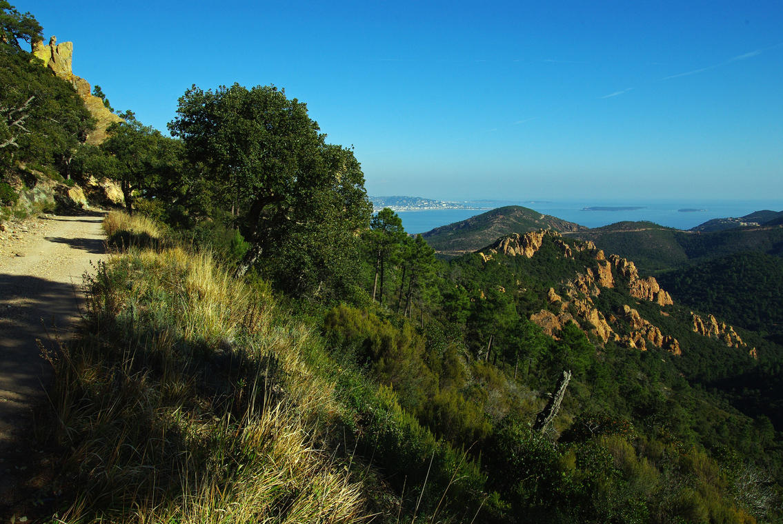
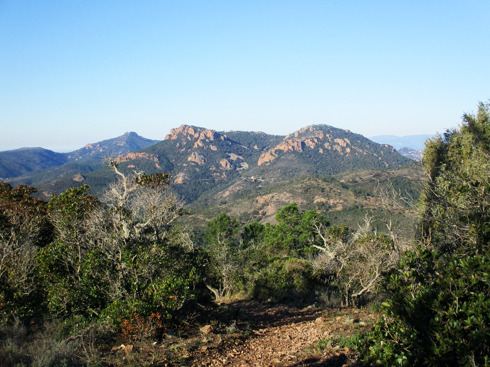
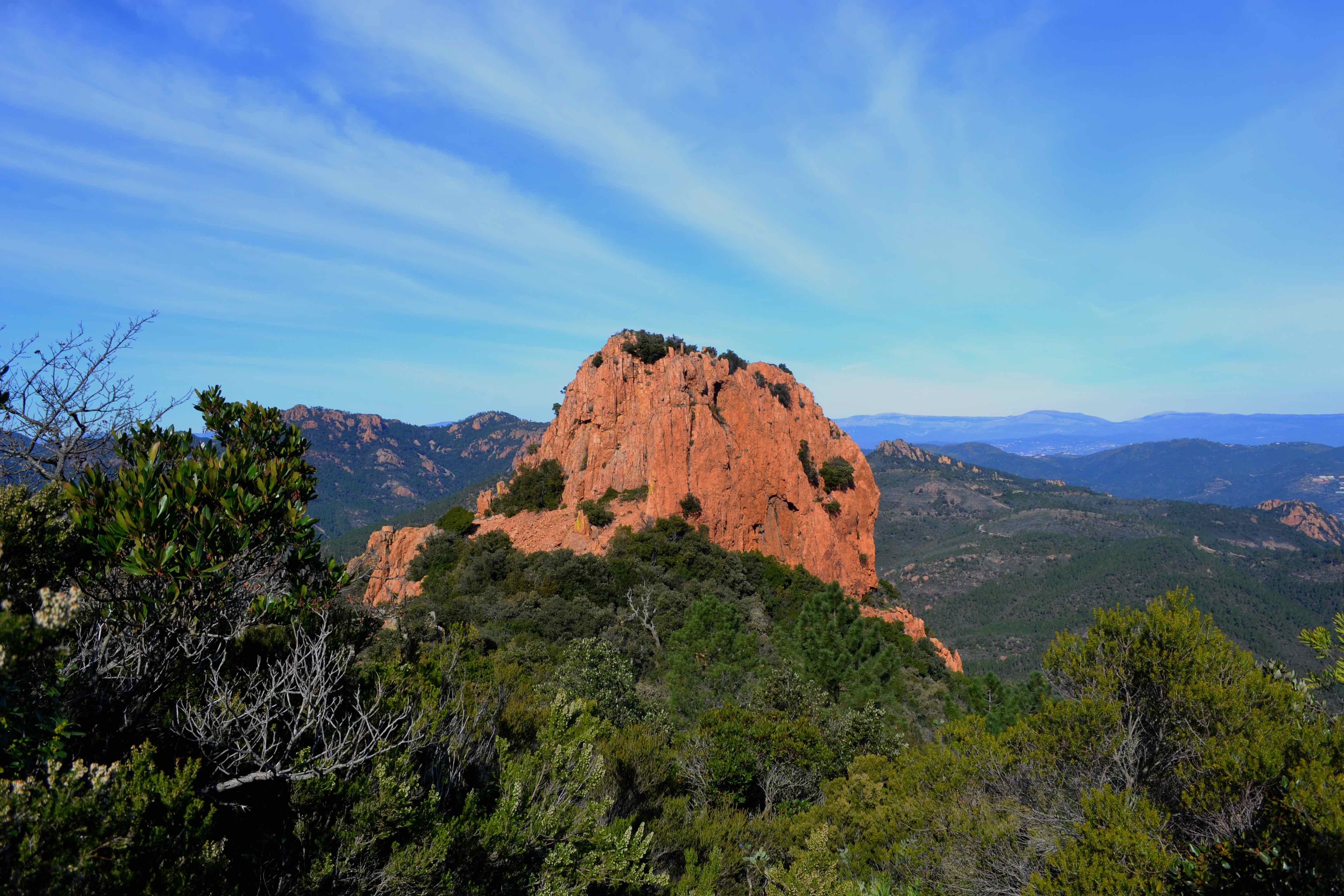
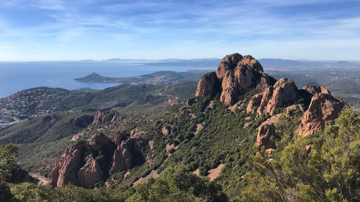
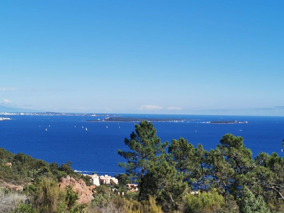
Walk above Théoule-sur-Mer, taking both a stony track and small paths winding through a pine forest.
Very pretty views between sea and mountain.

Already more than 200,000 users!
Uphill
261m
Highest point
242m
Downhill
261m
Lowest point
34m
Route type
Loop
Download the map on your smartphone to save battery and rest assured to always keep access to the route, even without signal.
Includes IGN France and Swisstopo.
I indicate whether dogs are allowed or prohibited on this trail
All year
2 ratings
Also enjoy:

Already more than 200,000 users!