Uphill
717m
France > Provence-Alpes-Côte d'Azur > Alpes-Maritimes > Mercantour National Park
Length
12km
Duration
5h30min
Elev gain
717m
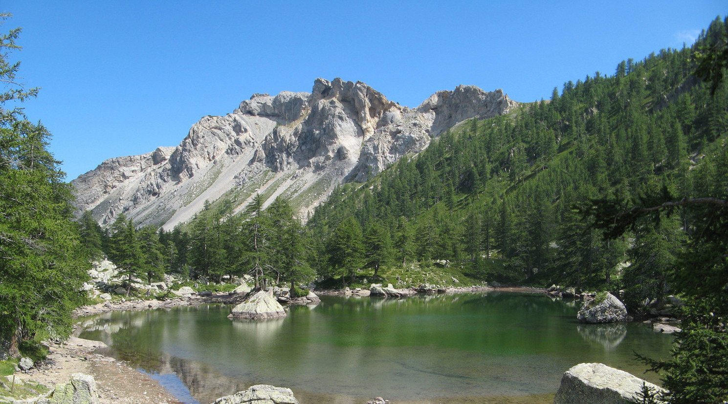
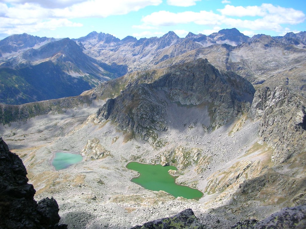
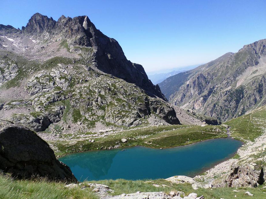
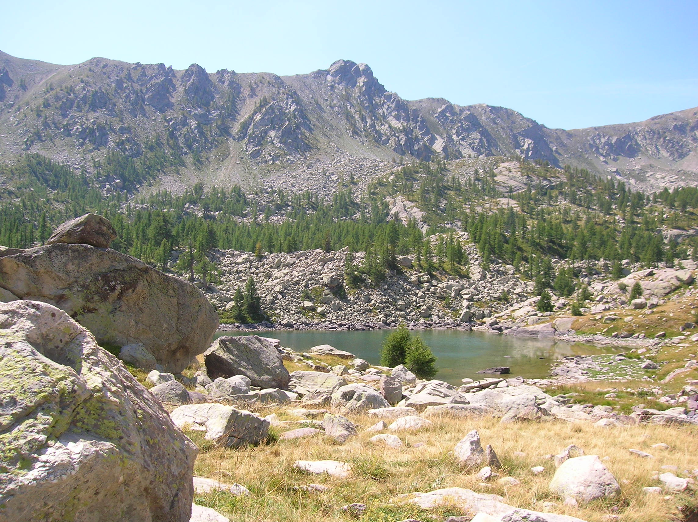
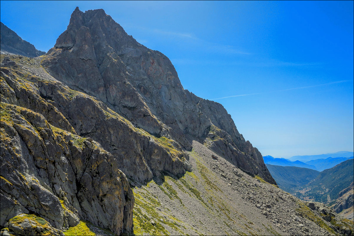
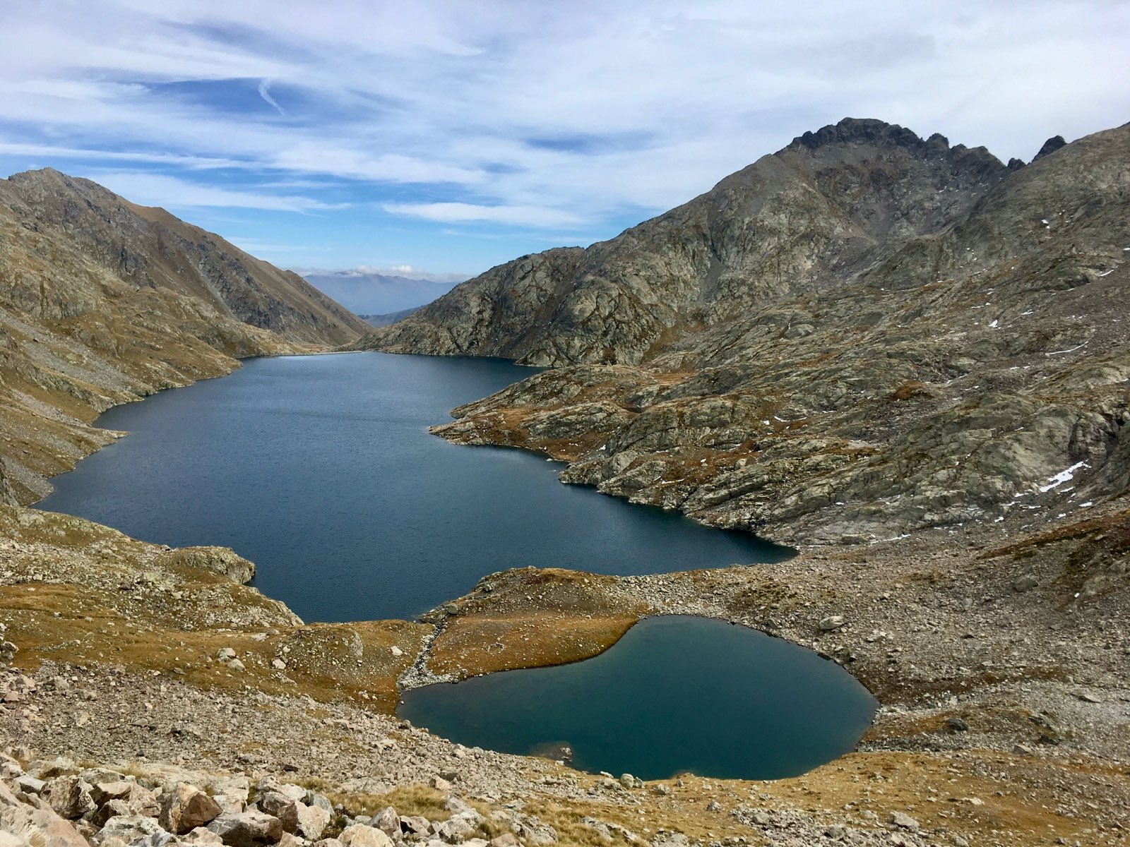
Round trip to one of the largest lakes in the Mercantour. The landscapes are wild and varied, and ibex are often present on arrival.

Already more than 200,000 users!
Uphill
717m
Highest point
2435m
Downhill
717m
Lowest point
1730m
Route type
There and back
Download the map on your smartphone to save battery and rest assured to always keep access to the route, even without signal.
Includes IGN France and Swisstopo.
0 ratings
Also enjoy:

Already more than 200,000 users!