Uphill
905m
France > Provence-Alpes-Côte d'Azur > Alpes-Maritimes
Length
12km
Duration
6h30min
Elev gain
905m
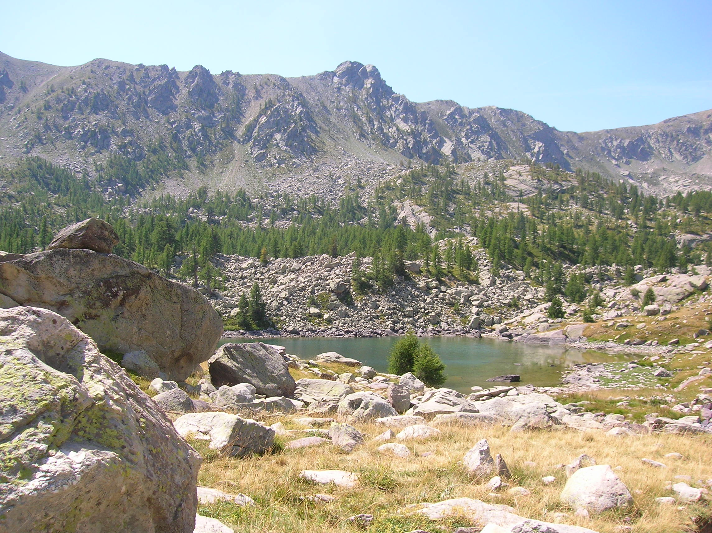
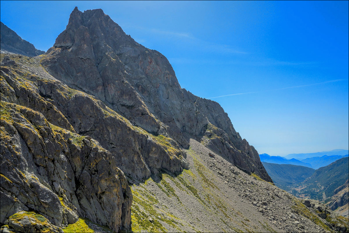
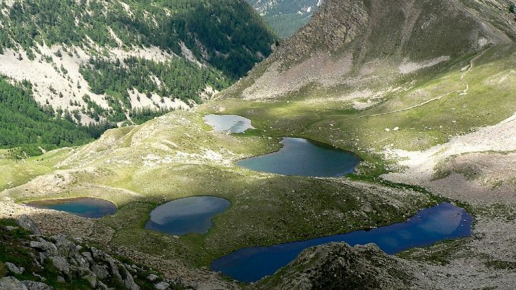
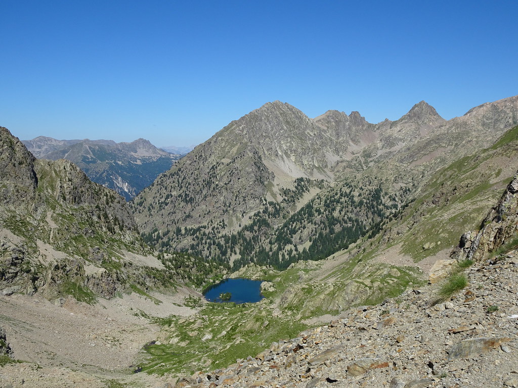
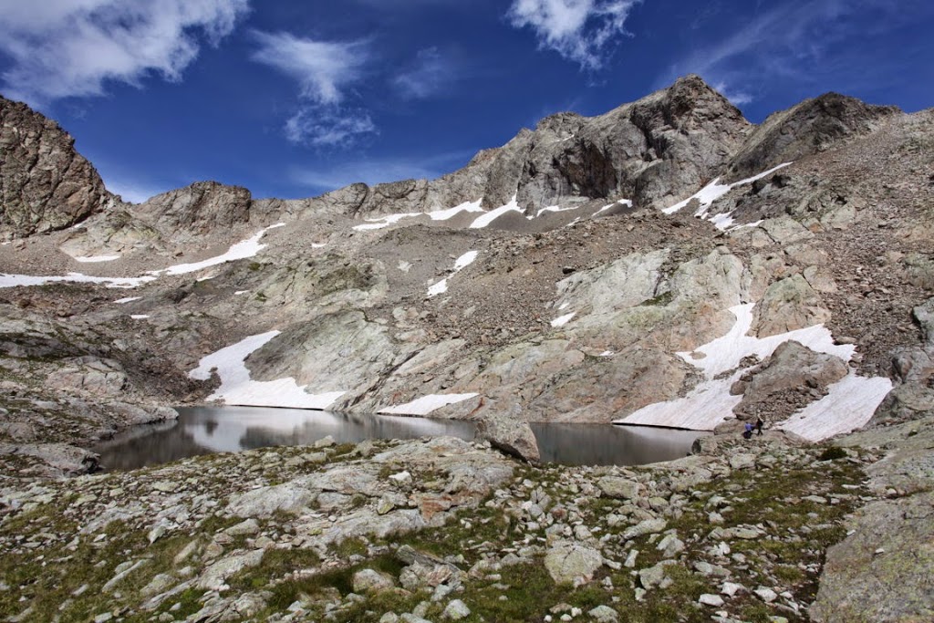
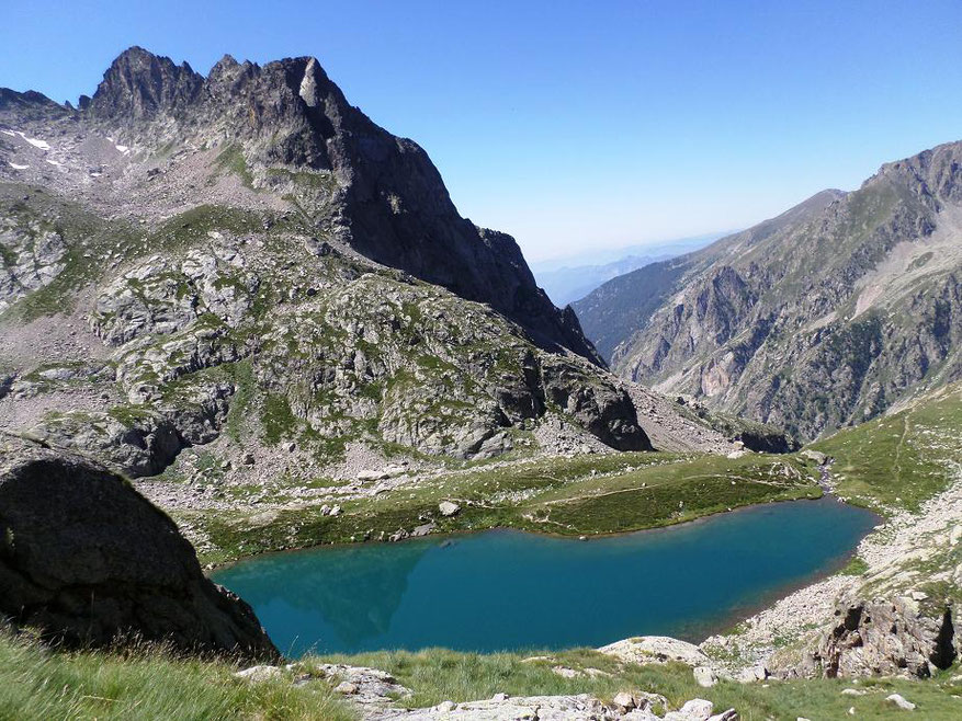
Hike in the Gordolasque valley, passing through the Autier, Niré and La Fous lakes, as well as the Estrech waterfall. Note also the frequent presence of ibex, chamois and marmots.

Already more than 200,000 users!
Uphill
905m
Highest point
2591m
Downhill
905m
Lowest point
1691m
Route type
Loop
Download the map on your smartphone to save battery and rest assured to always keep access to the route, even without signal.
Includes IGN France and Swisstopo.
I indicate whether dogs are allowed or prohibited on this trail
From June to September
1 rating
Also enjoy:

Already more than 200,000 users!