Uphill
710m
Length
14km
Duration
5h30min
Elev gain
710m
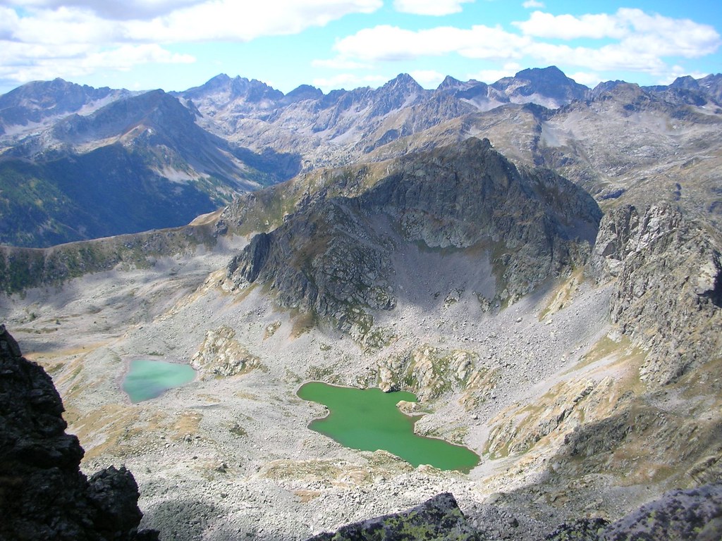
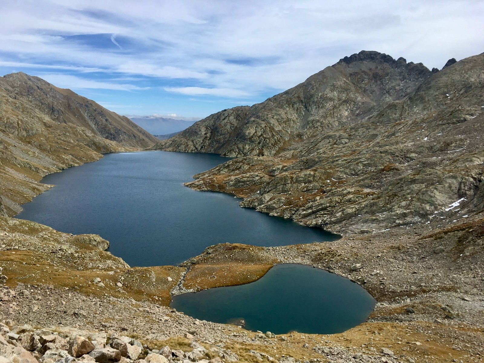
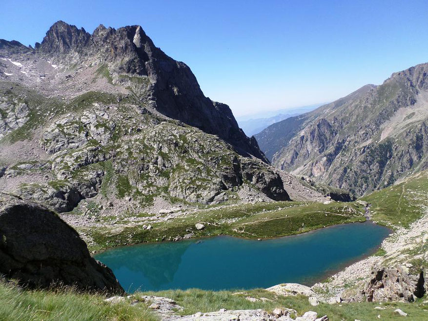
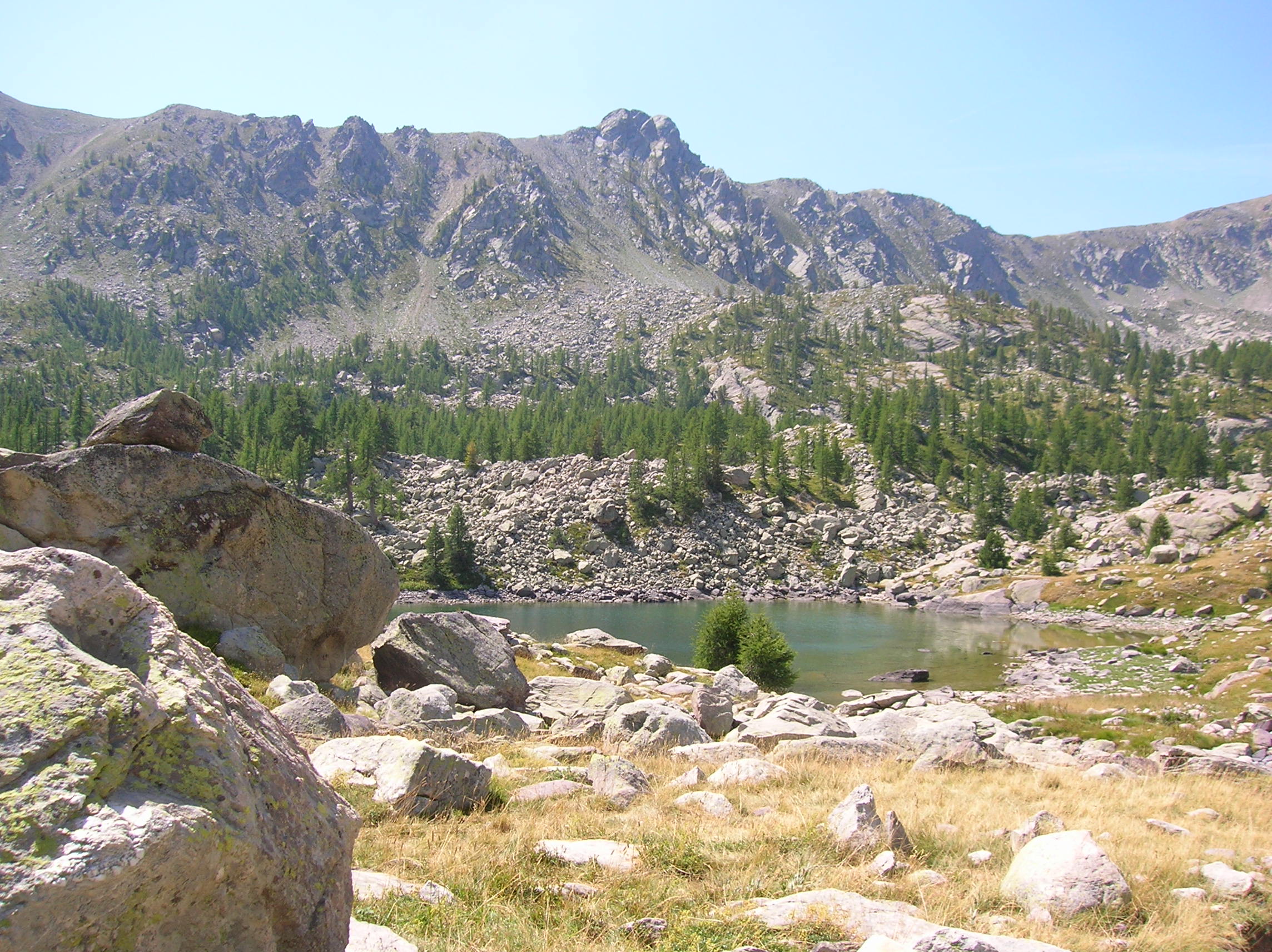
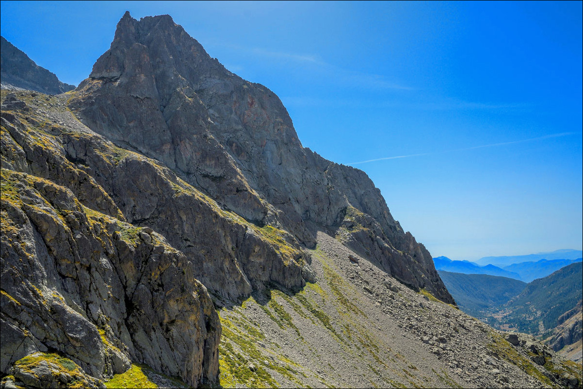
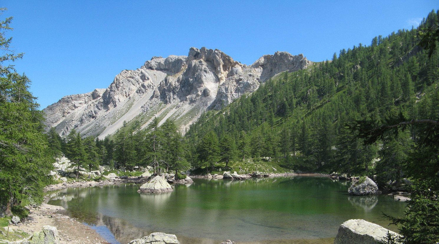
Departing from Castérino, this trail is full of interesting places: Fontanalba refuge, Lac Vert de Fontanalba, Lacs Jumeaux and Lac des Grenouilles. This hike requires good physical condition.

Already more than 200,000 users!
Uphill
710m
Highest point
2242m
Downhill
710m
Lowest point
1550m
Route type
Loop
Download the map on your smartphone to save battery and rest assured to always keep access to the route, even without signal.
Includes IGN France and Swisstopo.
I indicate whether dogs are allowed or prohibited on this trail
From May to September
1 rating
Also enjoy:

Already more than 200,000 users!