Uphill
1193m
France > Provence-Alpes-Côte d'Azur > Alpes-Maritimes > Mercantour National Park
Length
17km
Duration
8h30min
Elev gain
1193m
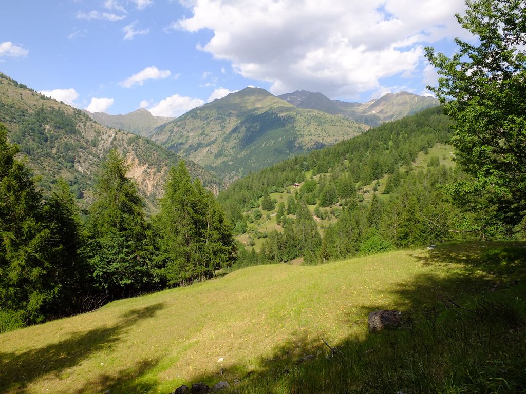
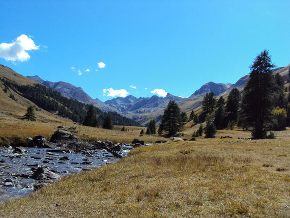
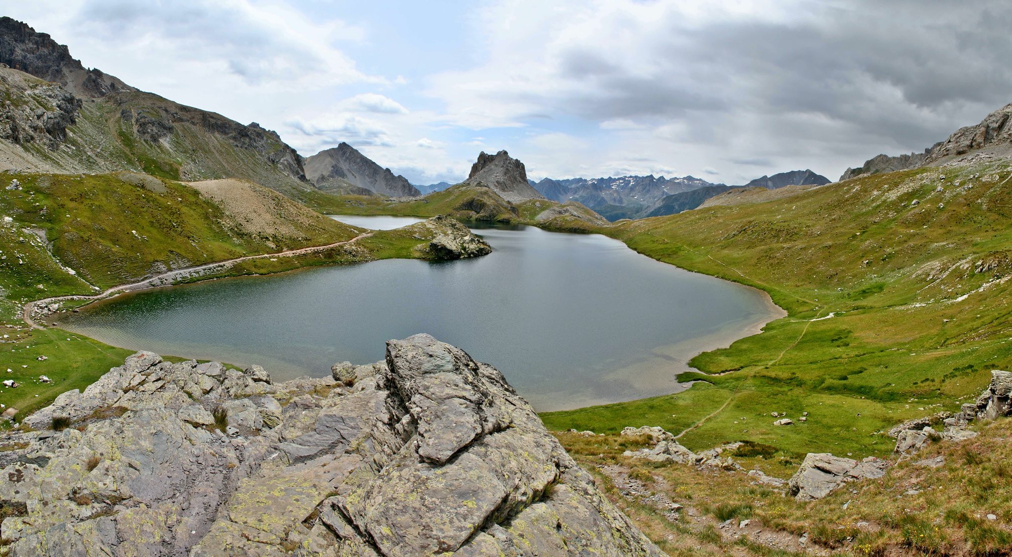
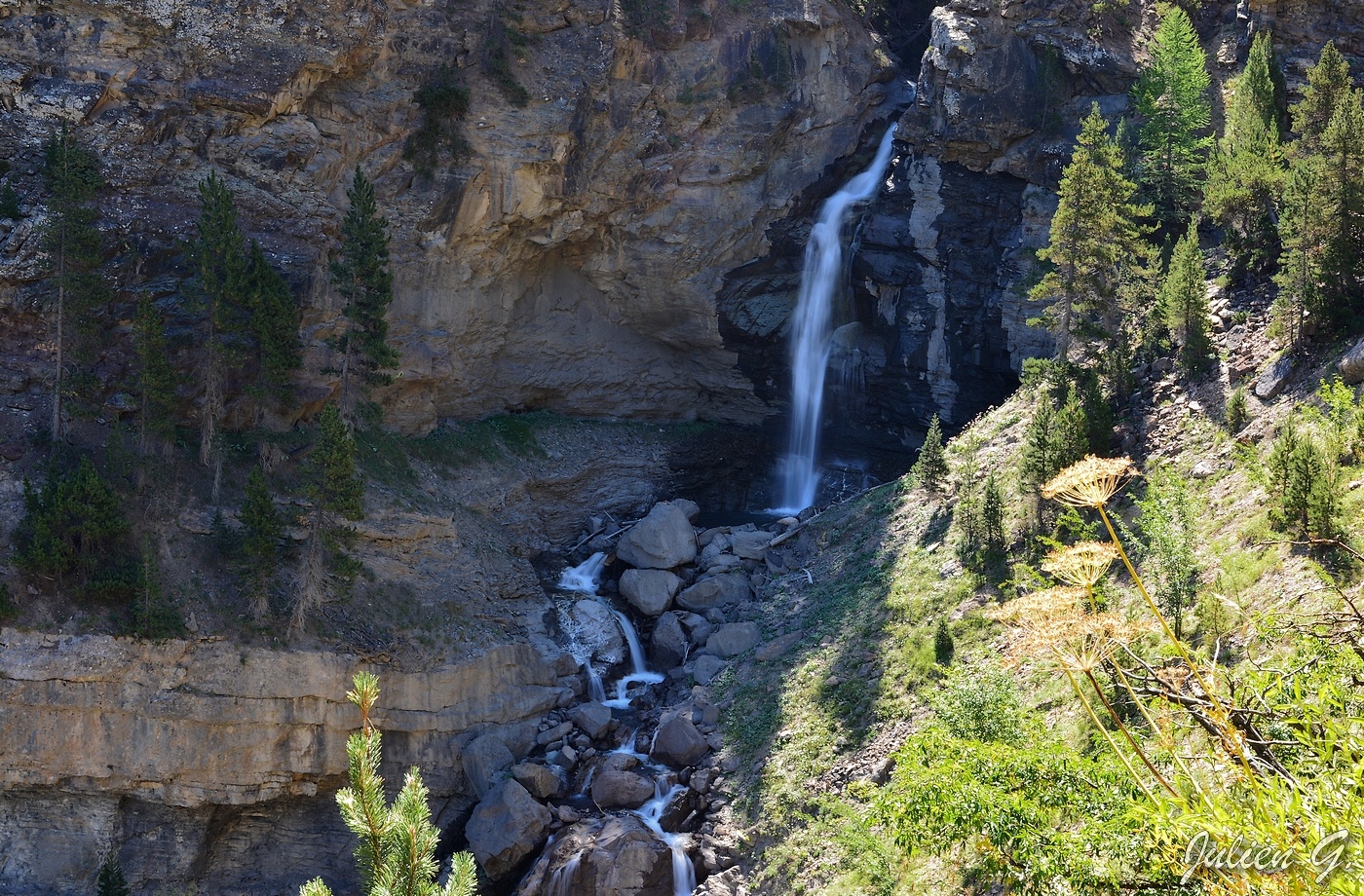
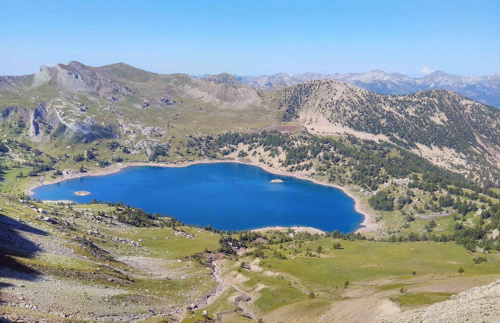
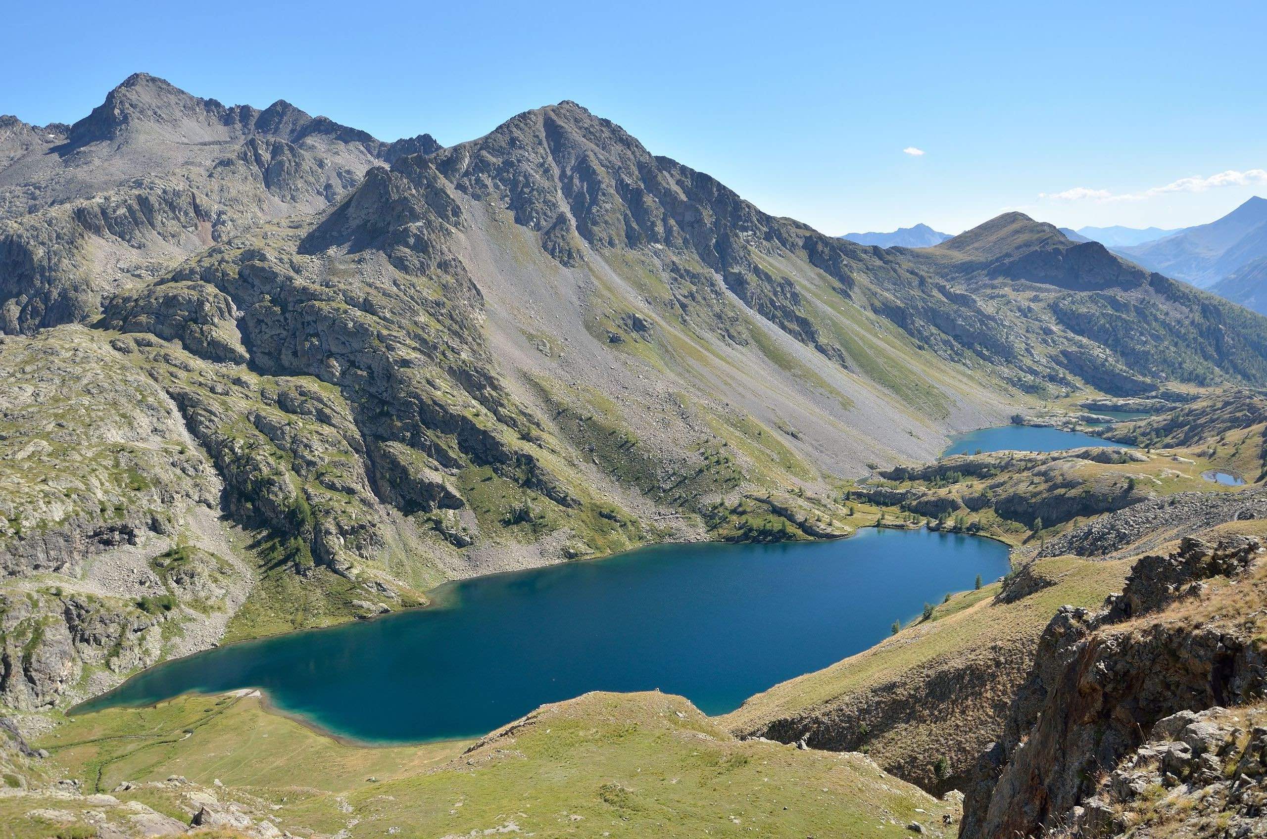
In the Mercantour park, this hike reaches the Lacs de Vens via the Tortisses.

Already more than 200,000 users!
Uphill
1193m
Highest point
2606m
Downhill
1193m
Lowest point
1647m
Route type
There and back
Download the map on your smartphone to save battery and rest assured to always keep access to the route, even without signal.
Includes IGN France and Swisstopo.
3 ratings
Also enjoy:

Already more than 200,000 users!