Uphill
1012m
Length
18km
Duration
7h30min
Elev gain
1012m
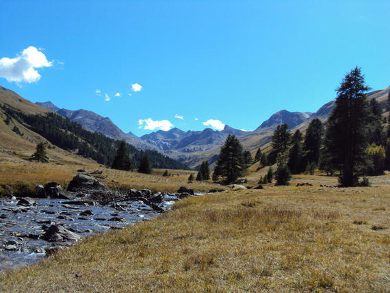
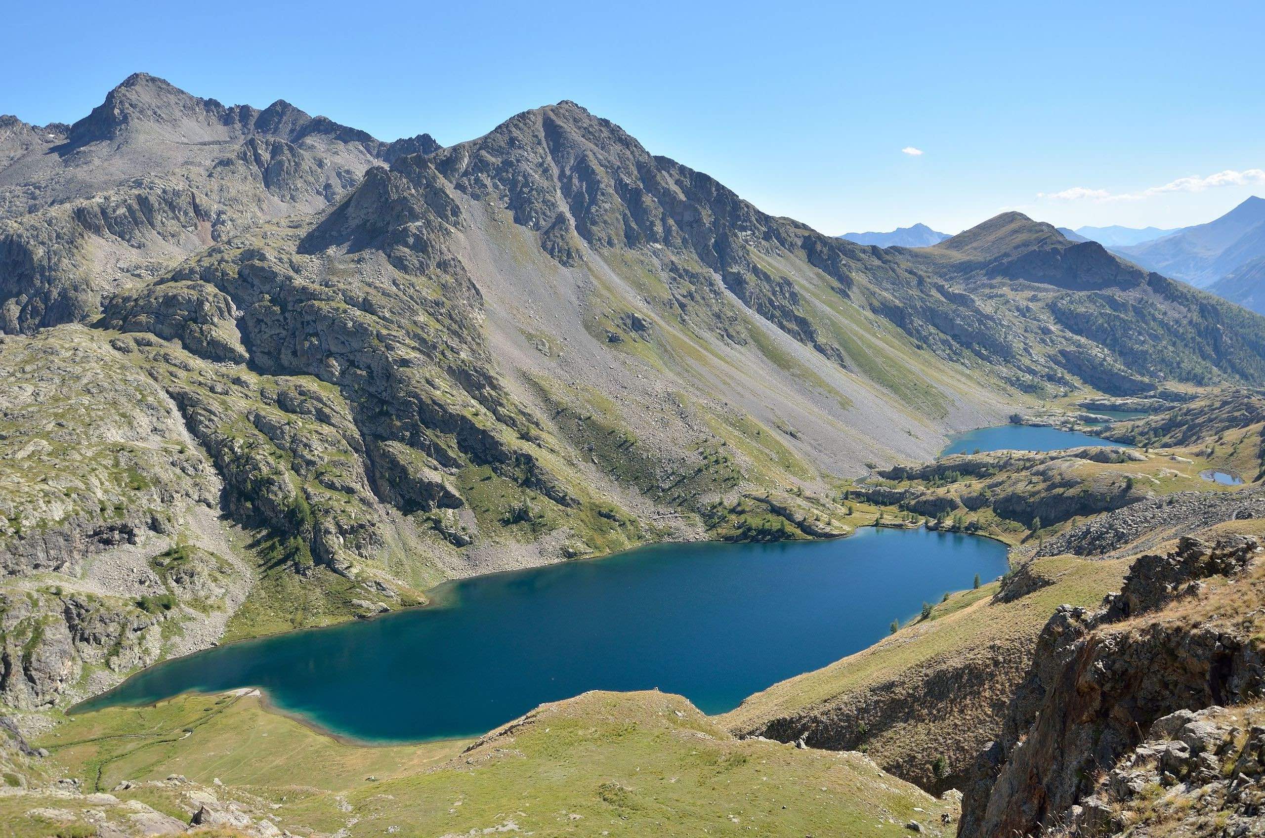
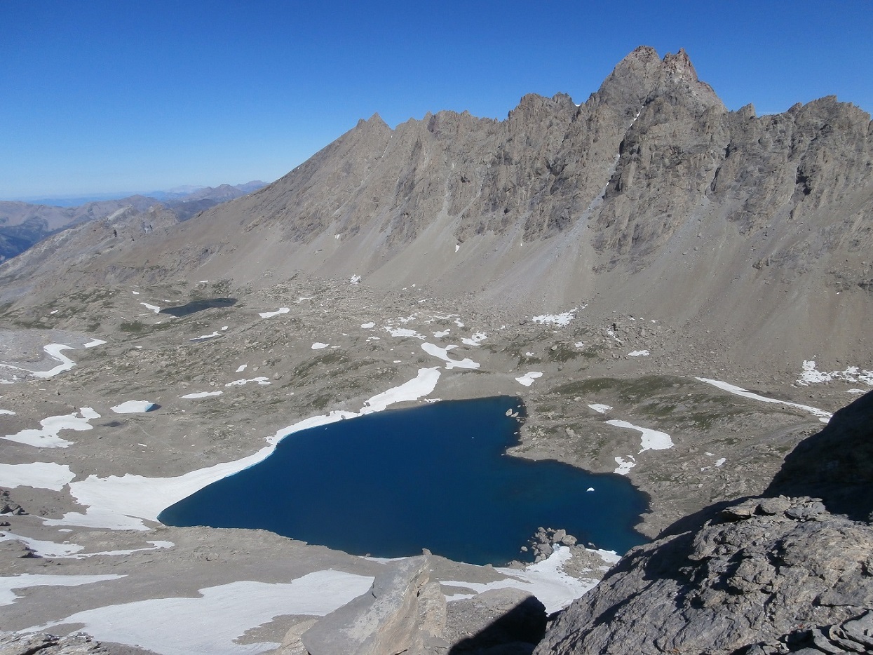
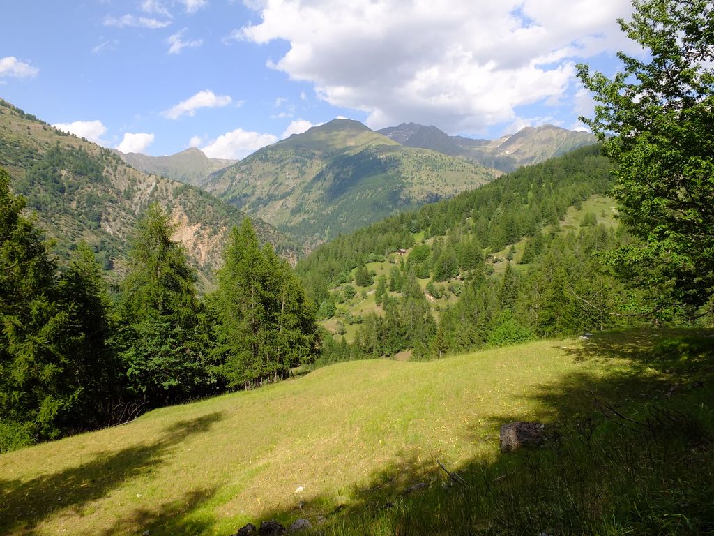
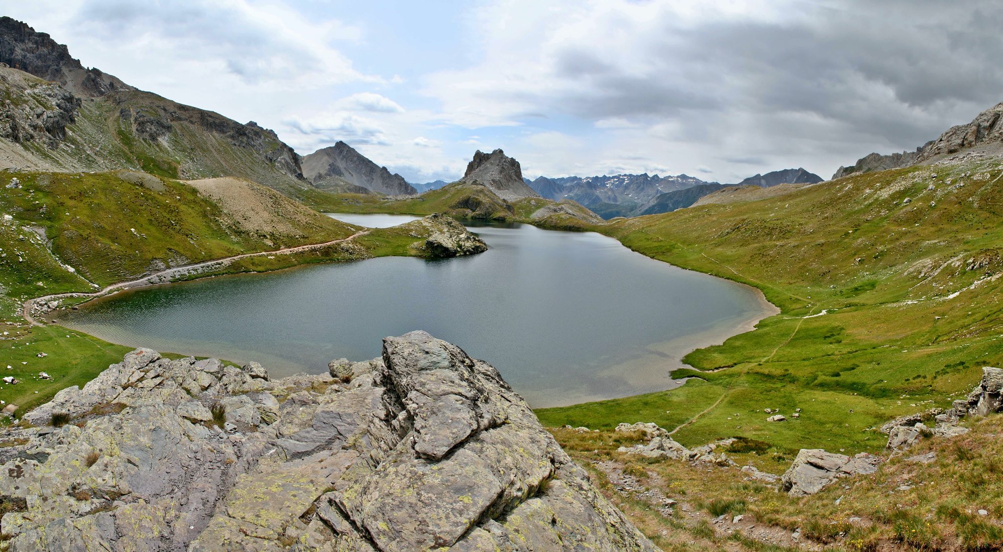
Varied hike offering a 360 degree panorama to Monte Scaletta. Several lakes are present, including the magnificent Ruburent.

Already more than 200,000 users!
Uphill
1012m
Highest point
2801m
Downhill
1012m
Lowest point
1944m
Route type
Loop
Download the map on your smartphone to save battery and rest assured to always keep access to the route, even without signal.
Includes IGN France and Swisstopo.
I indicate whether dogs are allowed or prohibited on this trail
From June to September
0 ratings
Also enjoy:

Already more than 200,000 users!