Uphill
530m
Length
13km
Duration
4h30min
Elev gain
530m
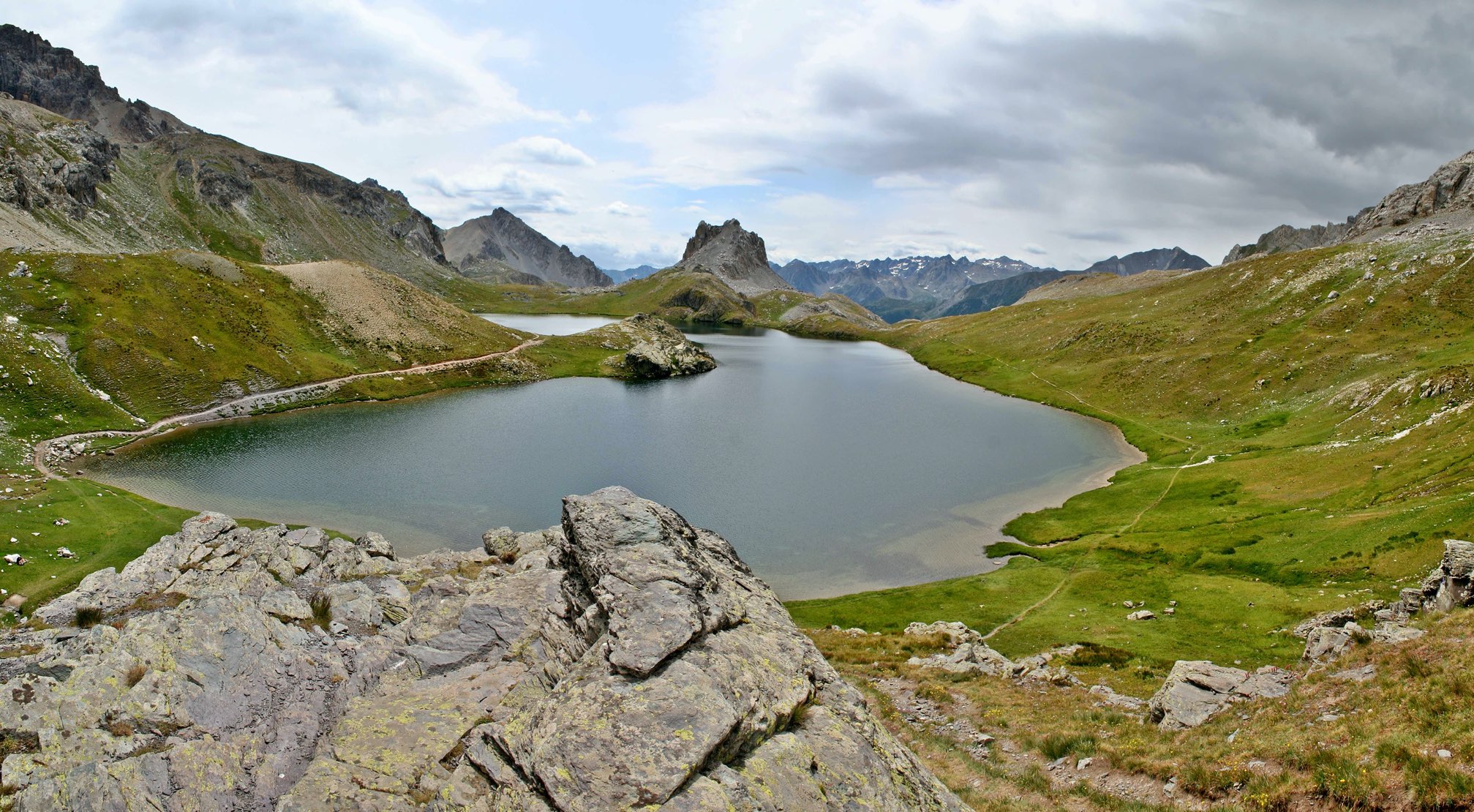
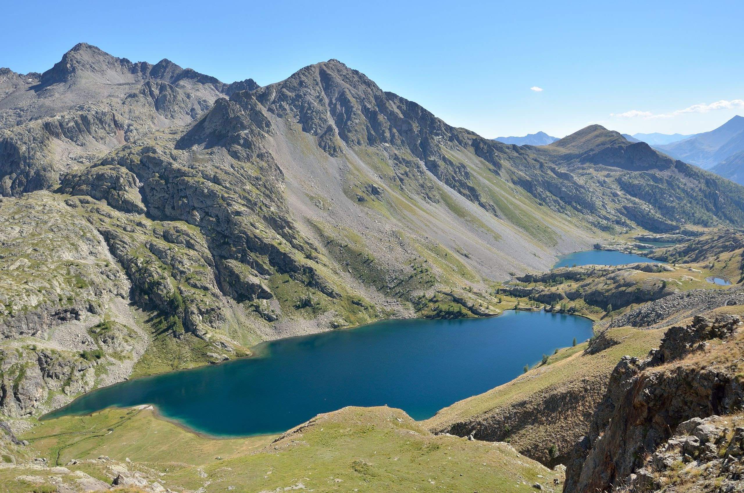
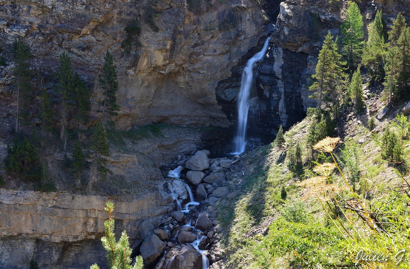
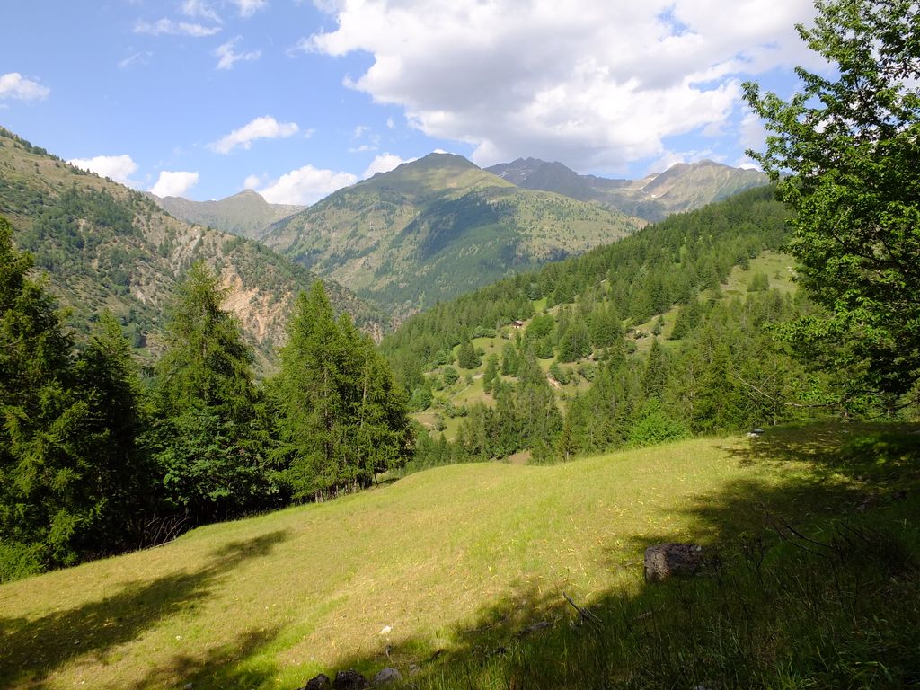
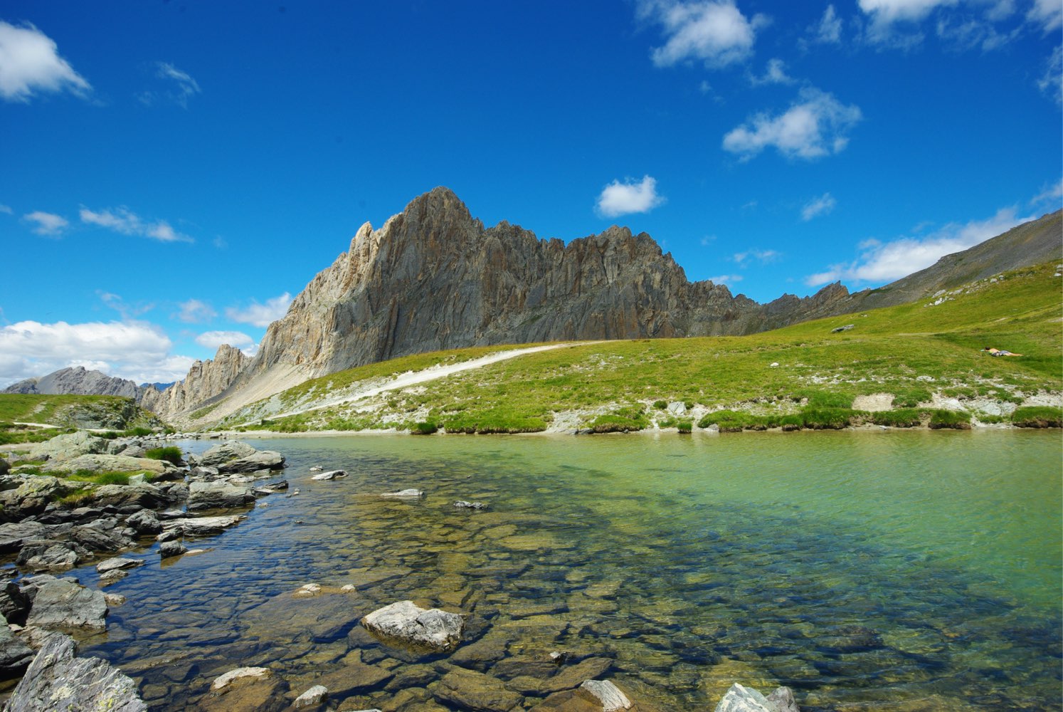
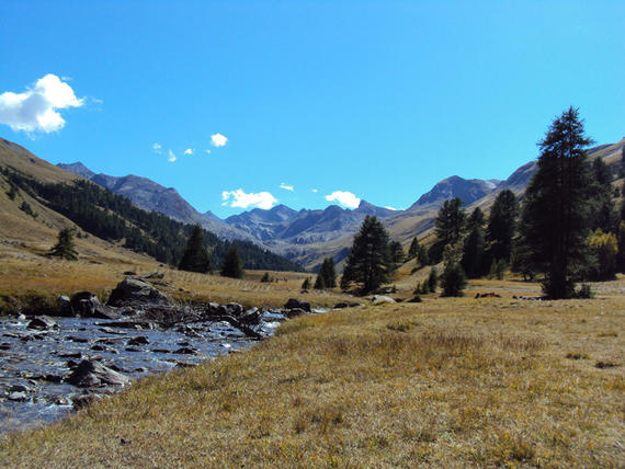
Trail with a moderate elevation in the very wild Vallon du Lauzanier. Marmots are often seen there.

Already more than 200,000 users!
Uphill
530m
Highest point
2291m
Downhill
530m
Lowest point
1902m
Route type
There and back
Download the map on your smartphone to save battery and rest assured to always keep access to the route, even without signal.
Includes IGN France and Swisstopo.
Parking du Col de Larche.
Shuttles leave from Larche in July and August.
I indicate whether dogs are allowed or prohibited on this trail
From May to September
1 rating
Also enjoy:

Already more than 200,000 users!