Uphill
1123m
Length
17km
Duration
8h
Elev gain
1123m
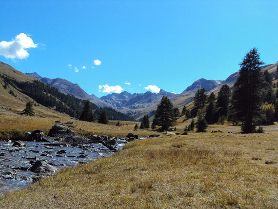
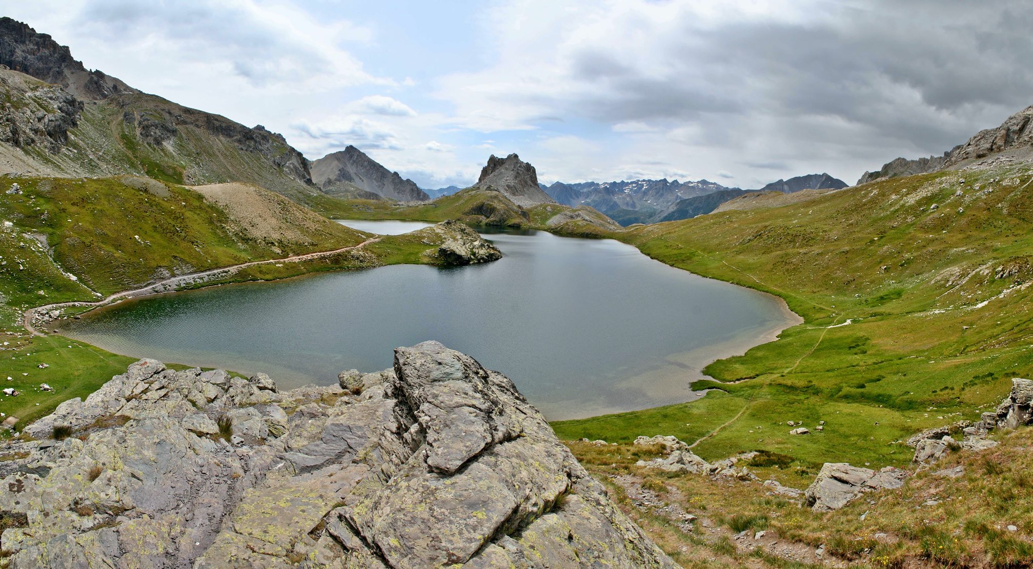
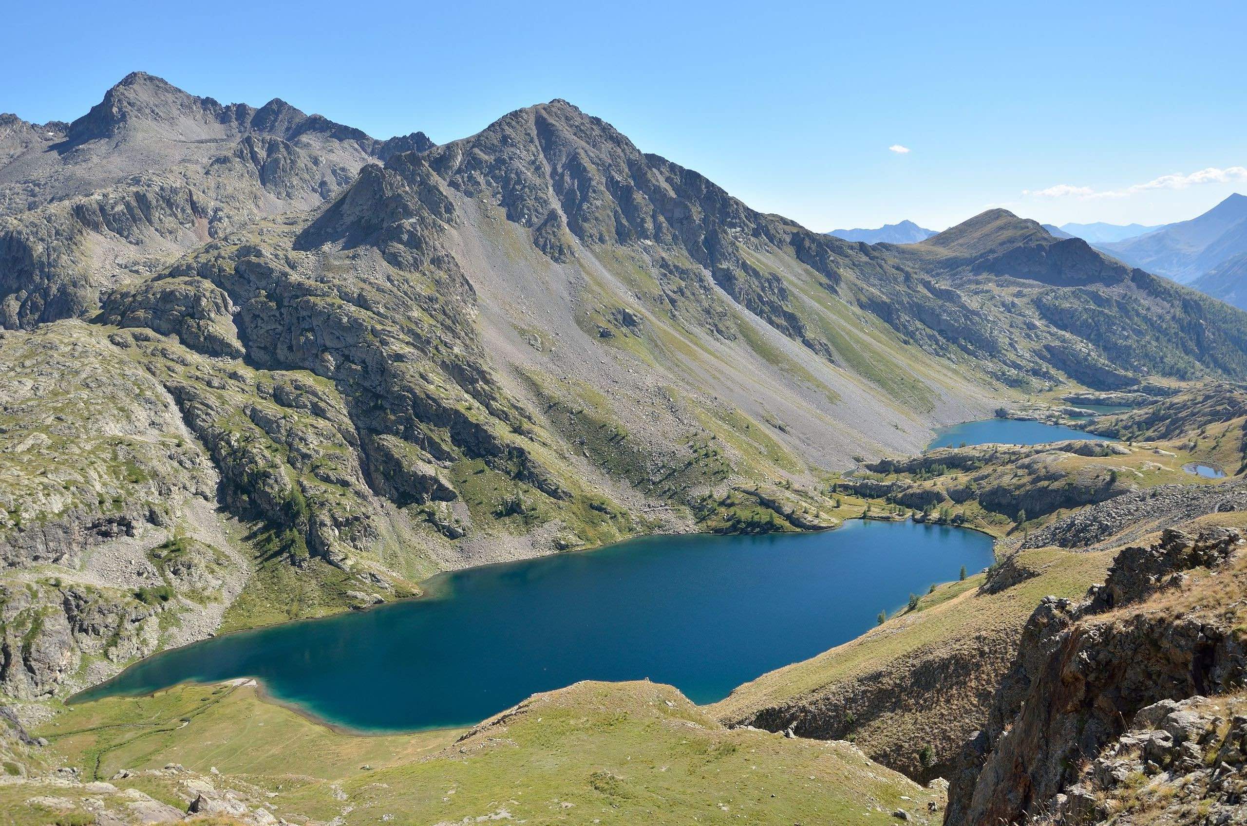
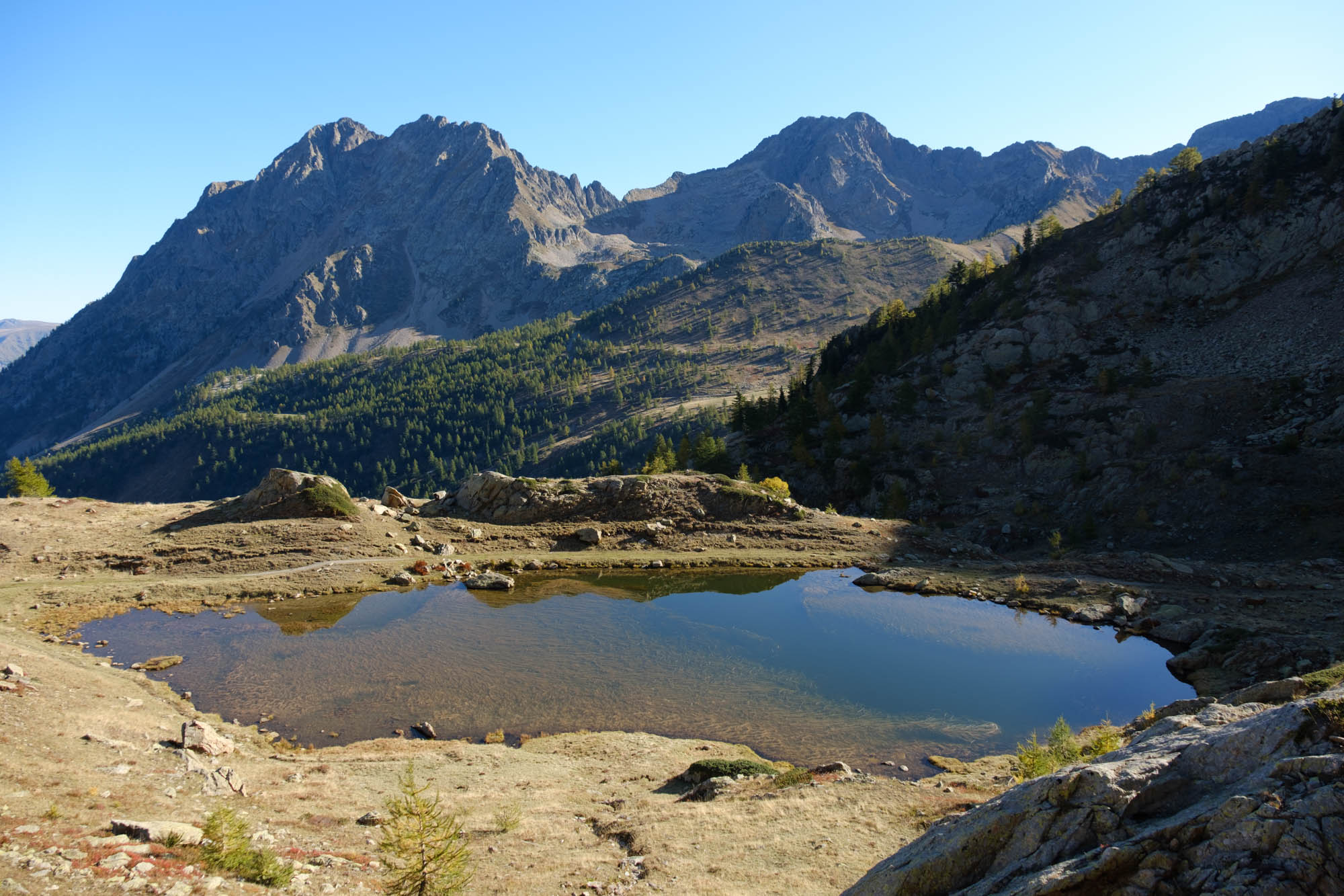
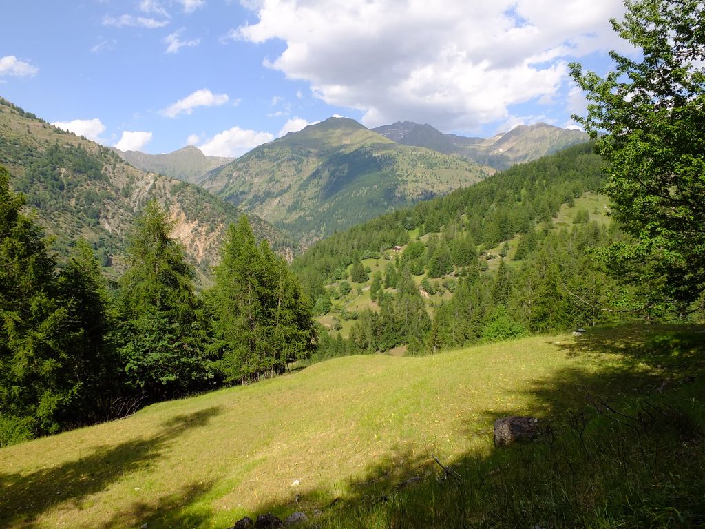
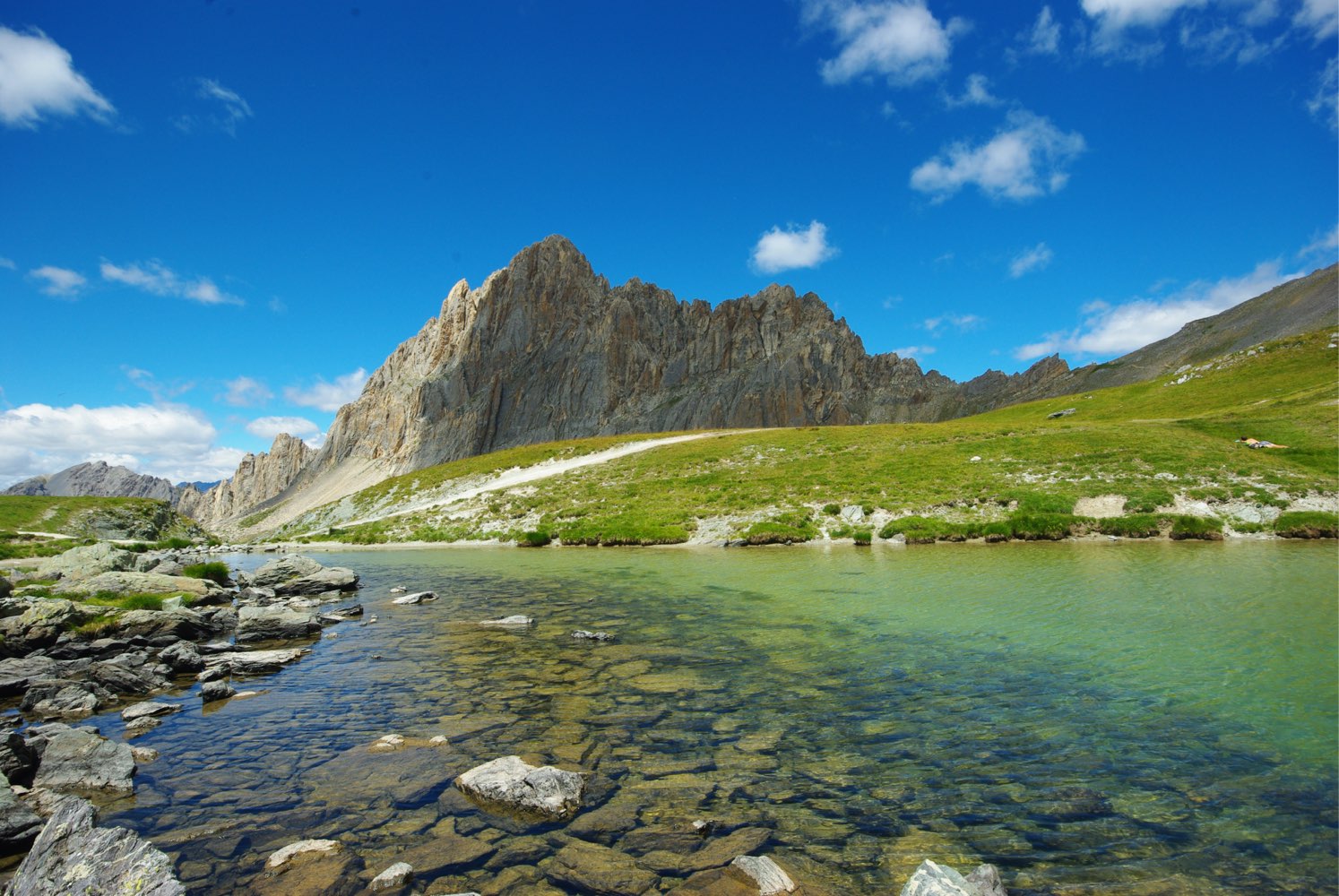
This trails allows you to reach the steep summit of Rocca la Meja before going around it. Rocky and original landscapes, including a lake and a short passage in the forest.

Already more than 200,000 users!
Uphill
1123m
Highest point
2590m
Downhill
1123m
Lowest point
2022m
Route type
Loop
Download the map on your smartphone to save battery and rest assured to always keep access to the route, even without signal.
Includes IGN France and Swisstopo.
I indicate whether dogs are allowed or prohibited on this trail
From June to September
0 ratings
Also enjoy:

Already more than 200,000 users!