Uphill
553m
Length
8km
Duration
4h
Elev gain
553m
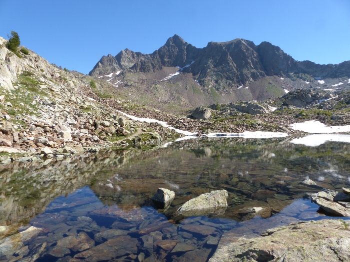
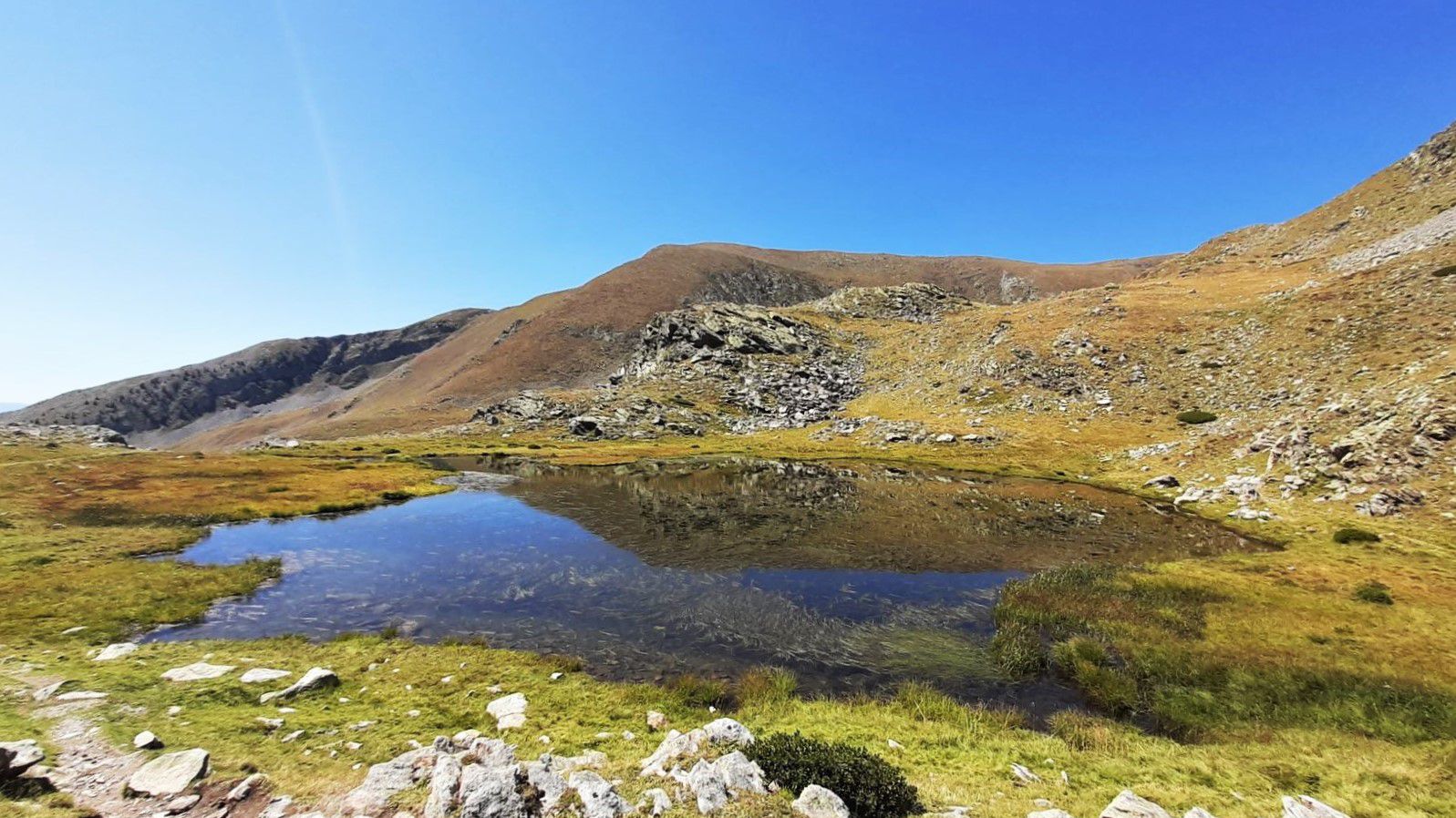
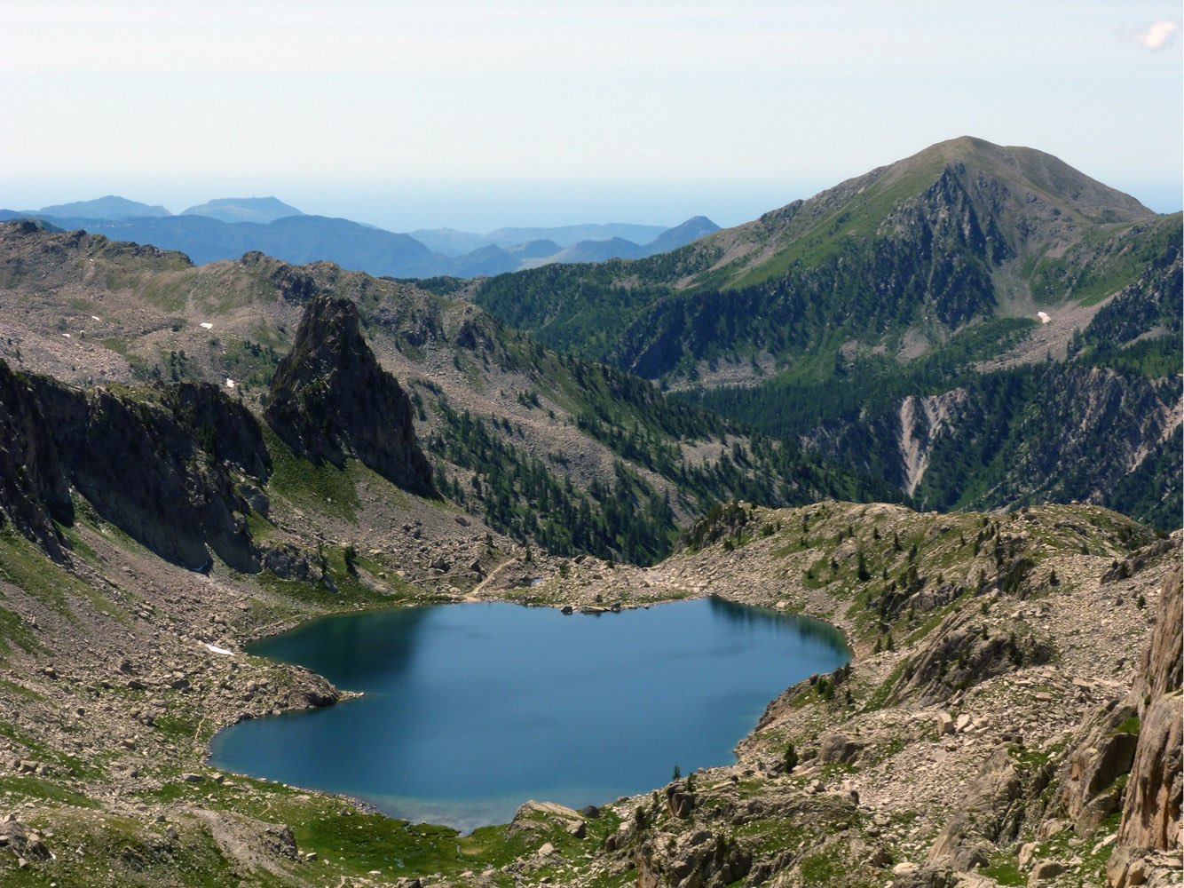
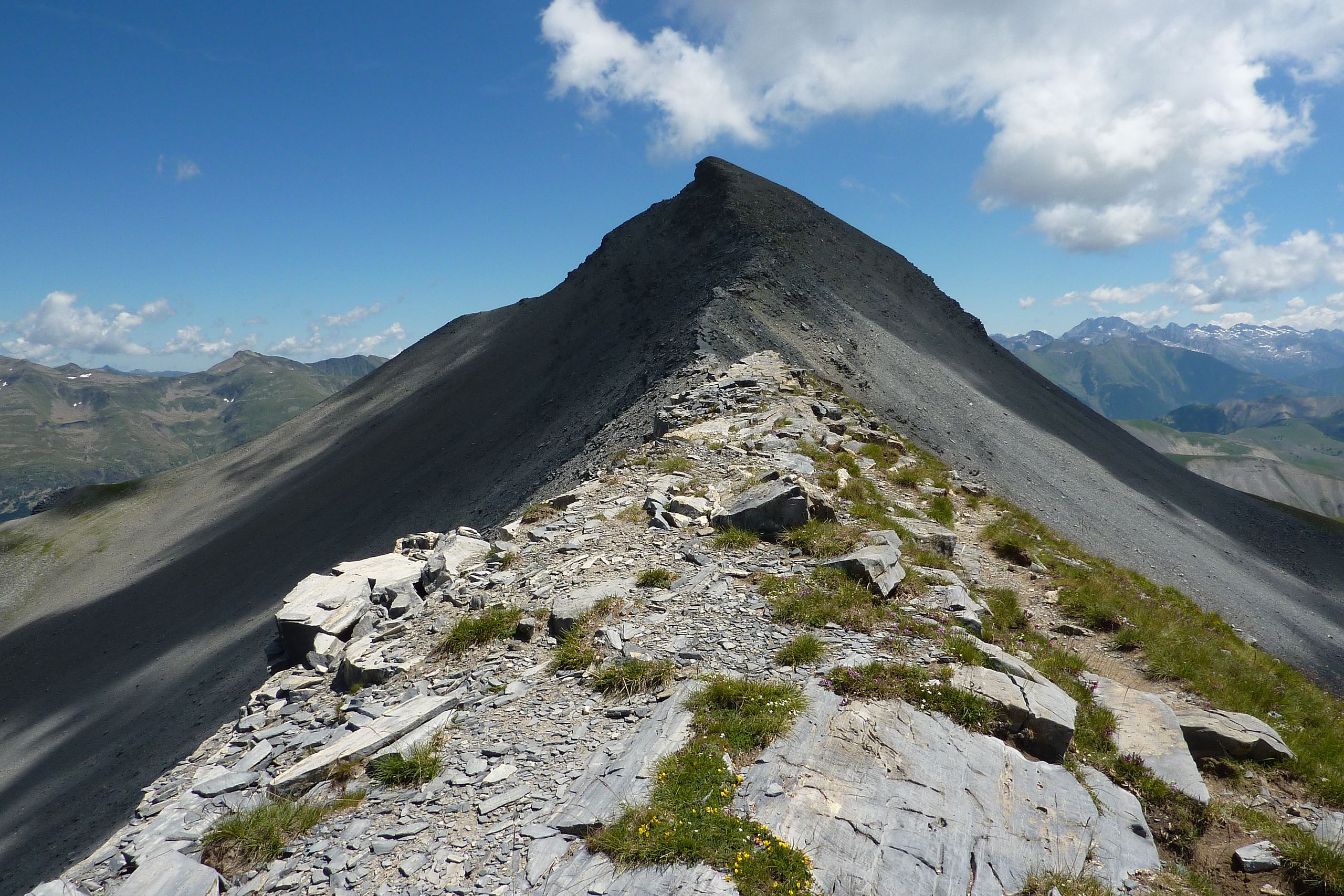
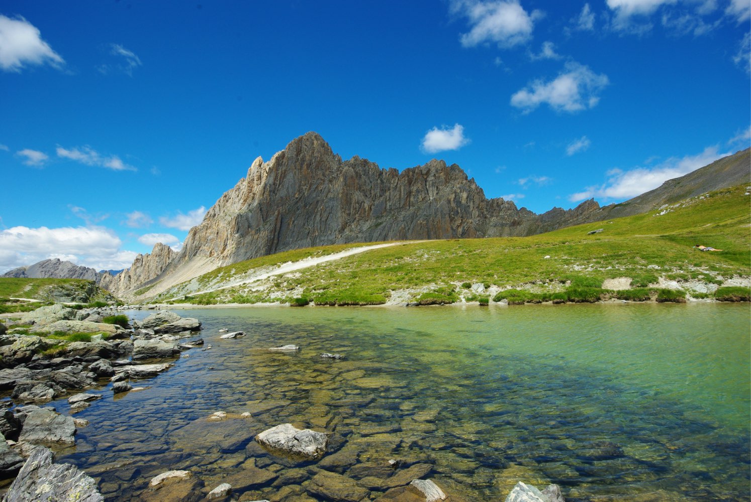
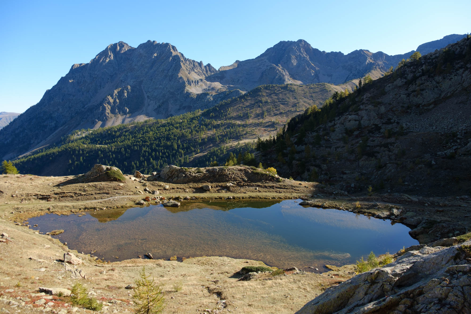
Starting from the Sanctuary of Sant'Anna di Vinadio, this hike takes you through four passes, offering lovely panoramas over many lakes.

Already more than 200,000 users!
Uphill
553m
Highest point
2469m
Downhill
553m
Lowest point
2076m
Route type
Loop
Download the map on your smartphone to save battery and rest assured to always keep access to the route, even without signal.
Includes IGN France and Swisstopo.
Parking at the start of the hike, after the Sant'Anna di Vinadio sanctuary.
I indicate whether dogs are allowed or prohibited on this trail
From June to September
0 ratings
Also enjoy:

Already more than 200,000 users!