Uphill
1046m
France > Provence-Alpes-Côte d'Azur > Alpes-Maritimes > Mercantour National Park
Length
17km
Duration
7h30min
Elev gain
1046m
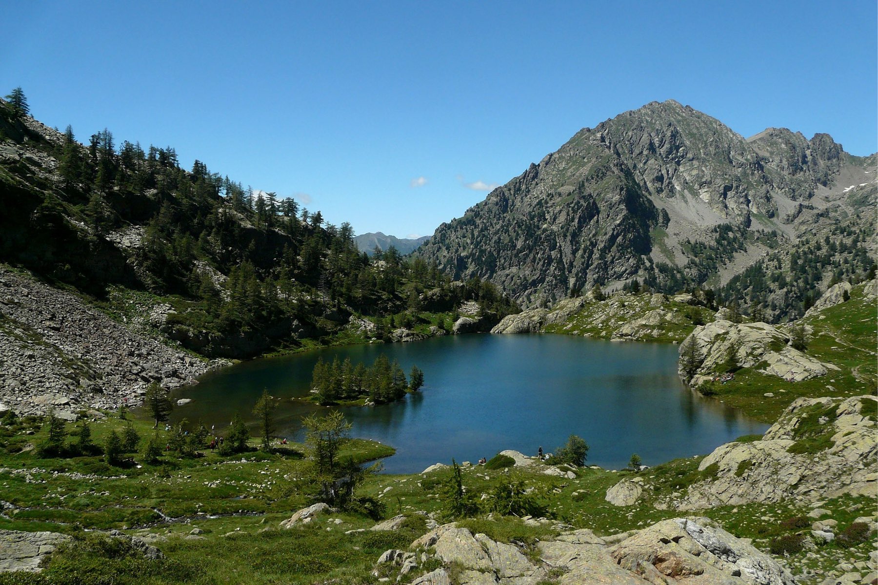
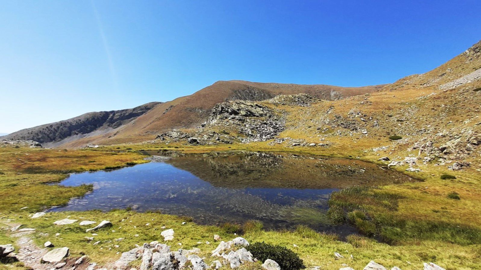
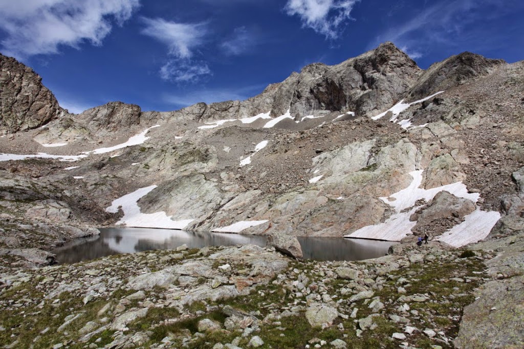
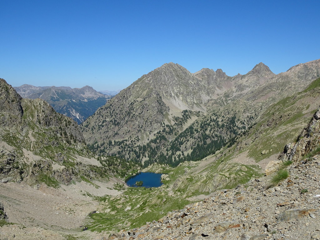
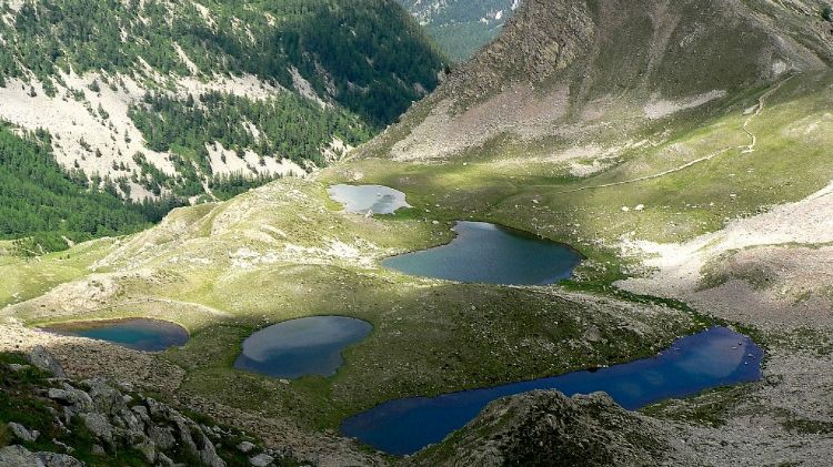
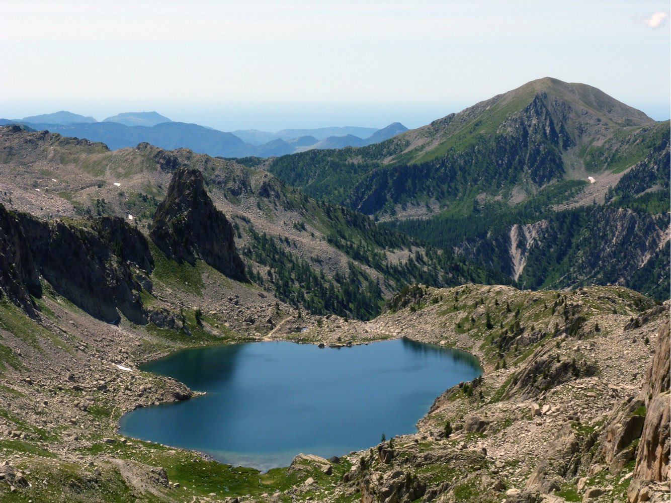
A nice hike starting from the Vésubie valley. The trail begins in the forest, and gradually rises to Lac Nègre at an altitude of 2,500 meters. It finally continues to the Pas du Préfouns, the border with Italy, in a rocky landscape.

Already more than 200,000 users!
Uphill
1046m
Highest point
2632m
Downhill
1046m
Lowest point
1687m
Route type
There and back
Download the map on your smartphone to save battery and rest assured to always keep access to the route, even without signal.
Includes IGN France and Swisstopo.
0 ratings
Also enjoy:

Already more than 200,000 users!