Uphill
623m
Length
8km
Duration
4h30min
Elev gain
623m
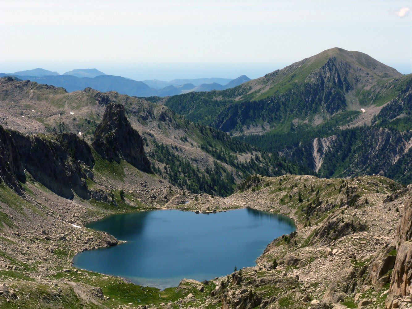
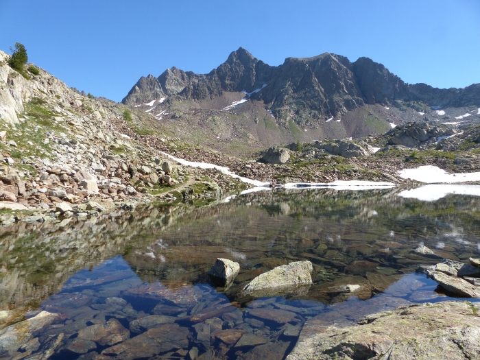
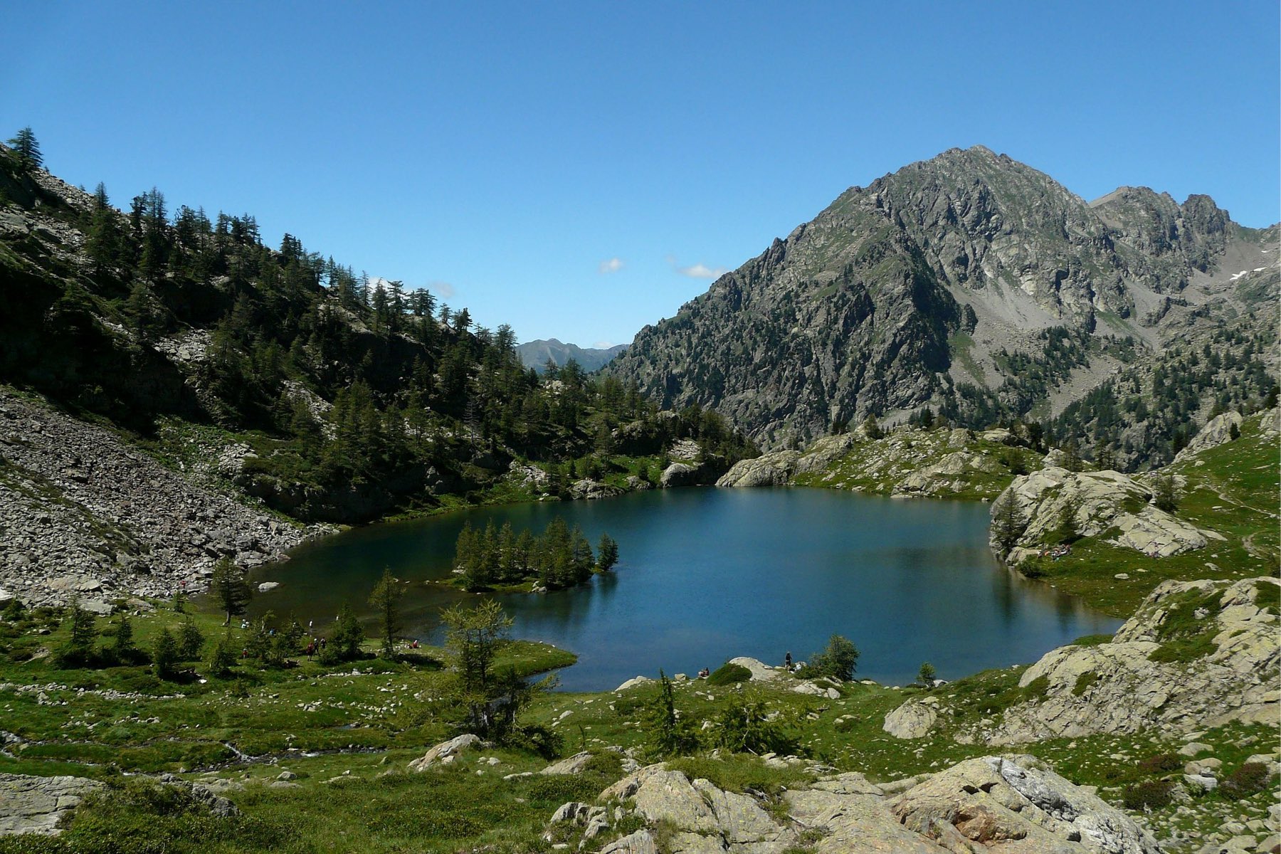
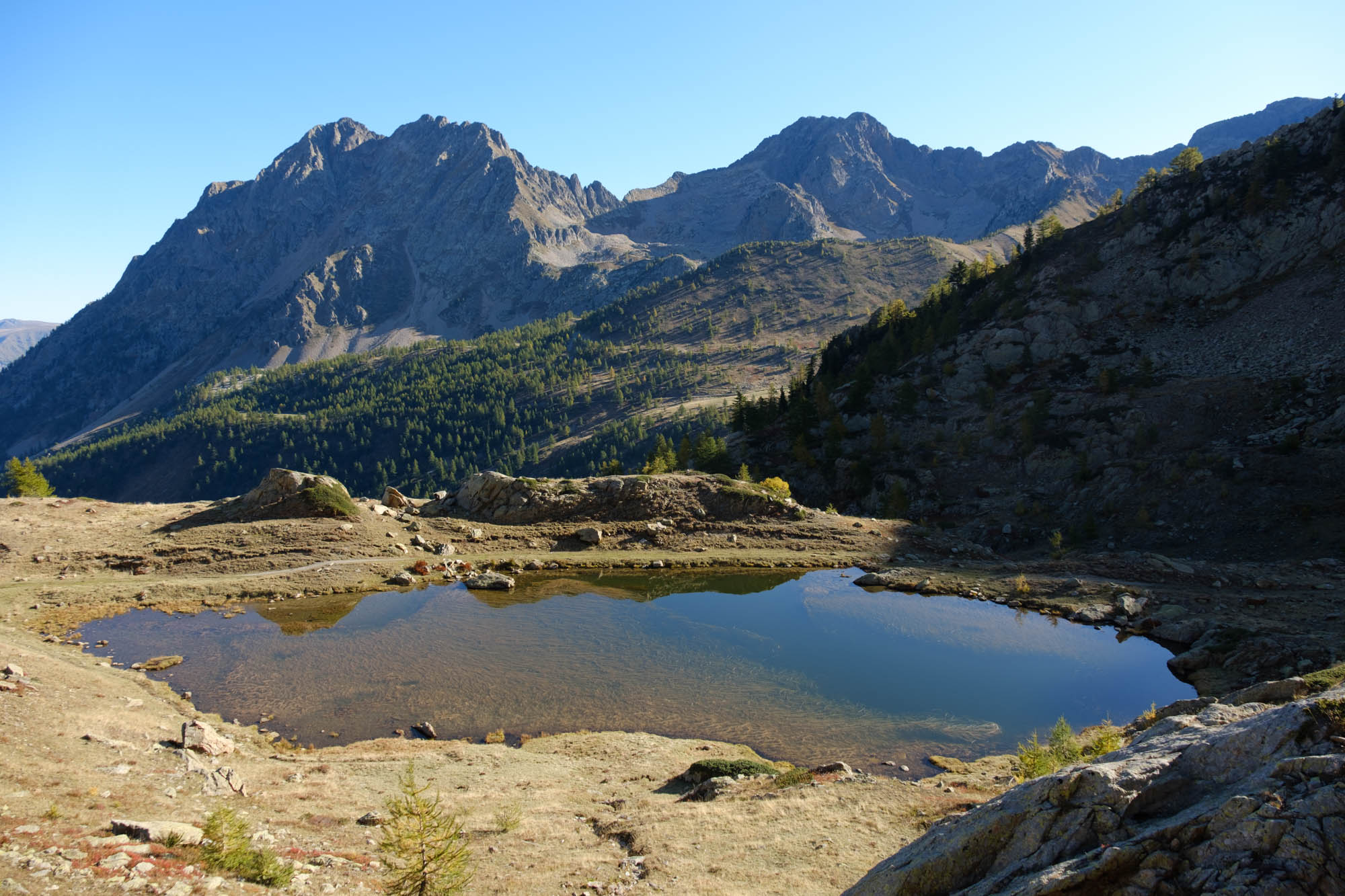
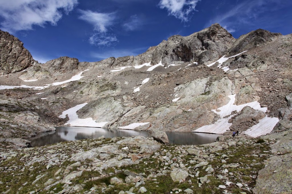
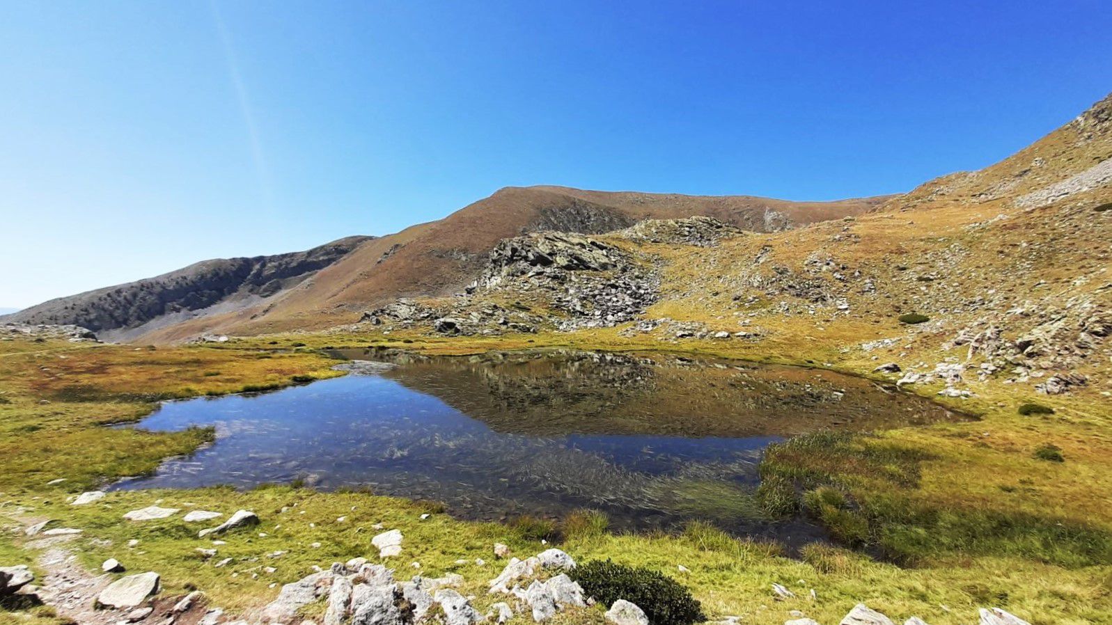
This hike allows you to discover five lakes: Petit, Long, Gros, Rond, and an unnamed lake! The trail then climbs to the top of Mont Pépoiri (2674 m), via the Col du Barn. Nice panorama on the Mercantour.

Already more than 200,000 users!
Uphill
623m
Highest point
2662m
Downhill
623m
Lowest point
2044m
Route type
Loop
Download the map on your smartphone to save battery and rest assured to always keep access to the route, even without signal.
Includes IGN France and Swisstopo.
I indicate whether dogs are allowed or prohibited on this trail
From June to September
3 ratings
Also enjoy:

Already more than 200,000 users!