Uphill
794m
Length
10km
Duration
5h30min
Elev gain
794m
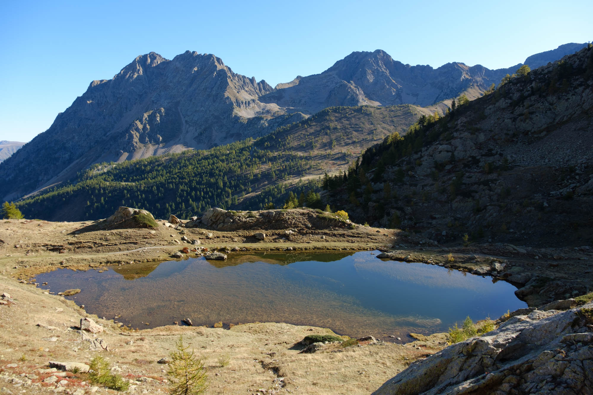
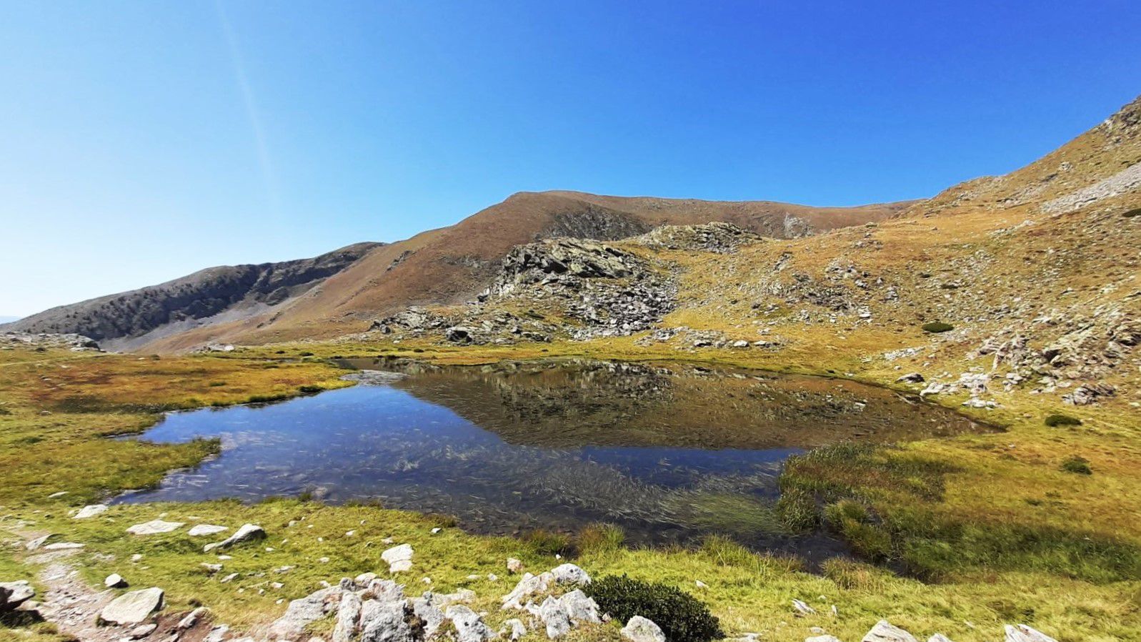
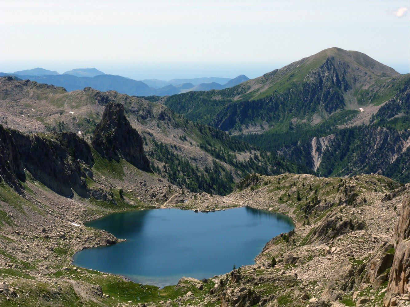
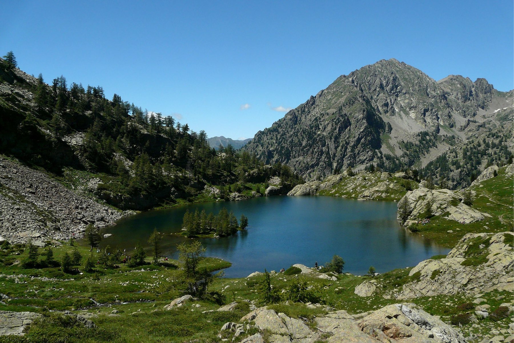
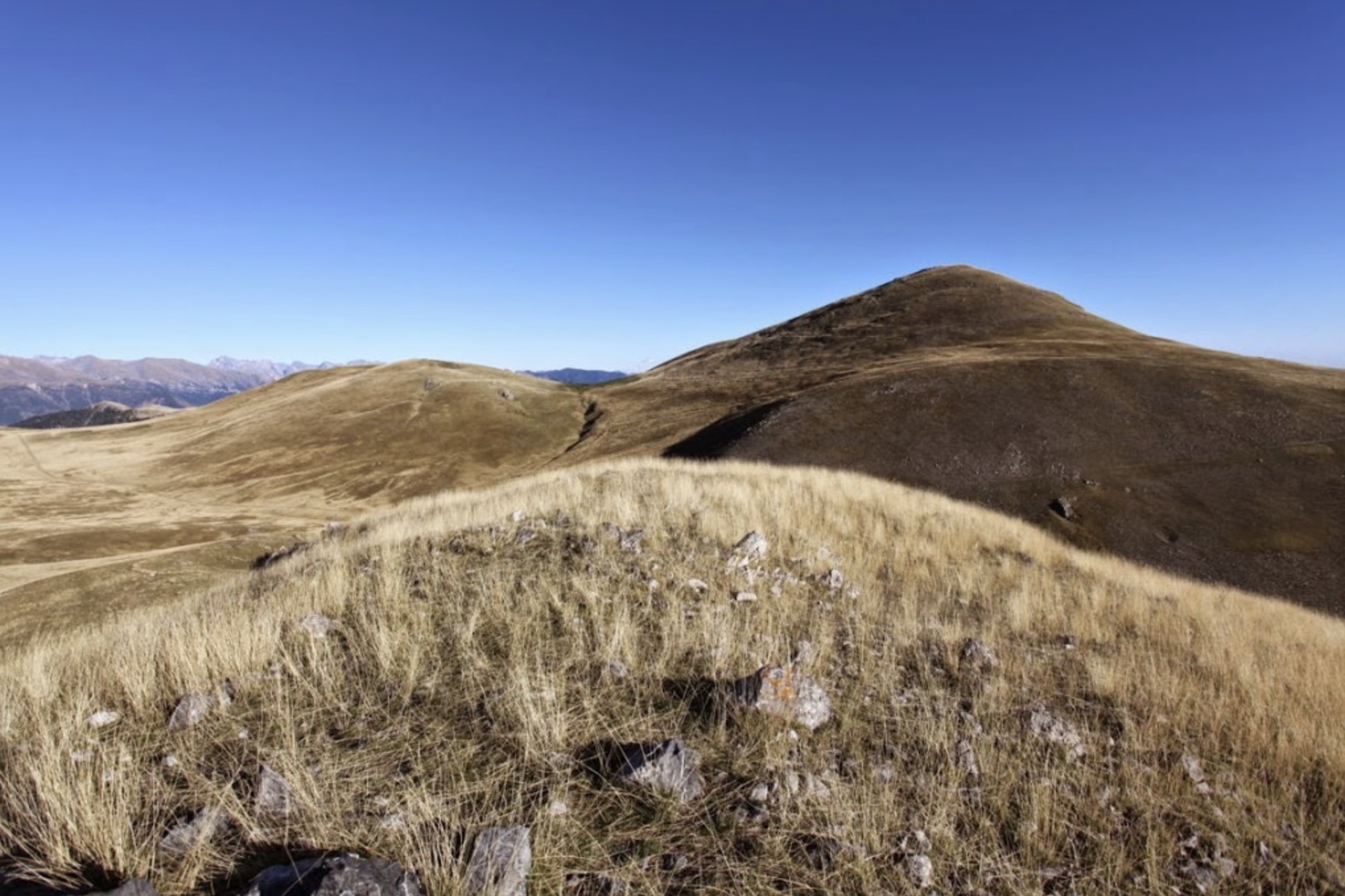
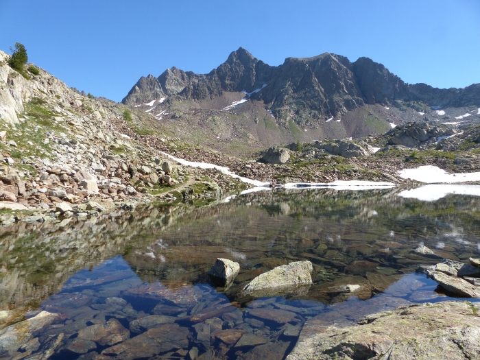
Ascent of a border summit above the Isola 2000 station, passing through the Lacs de Terre Rouge.

Already more than 200,000 users!
Uphill
794m
Highest point
2889m
Downhill
794m
Lowest point
2085m
Route type
There and back
Download the map on your smartphone to save battery and rest assured to always keep access to the route, even without signal.
Includes IGN France and Swisstopo.
I indicate whether dogs are allowed or prohibited on this trail
From June to September
1 rating
Also enjoy:

Already more than 200,000 users!