Uphill
962m
Length
18km
Duration
7h30min
Elev gain
962m
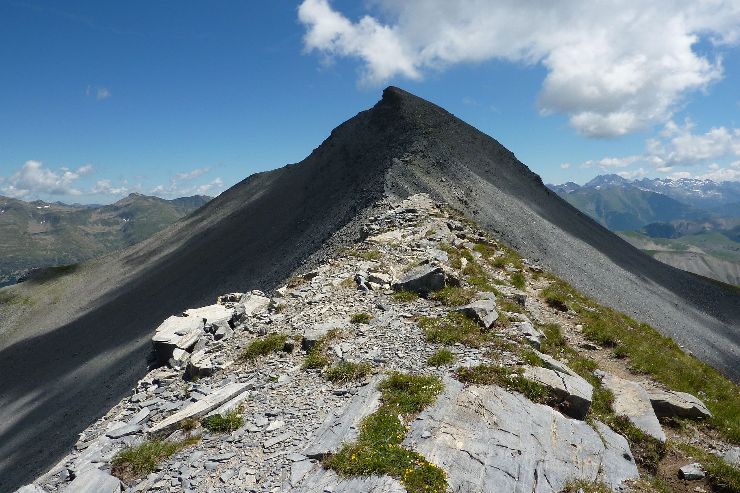
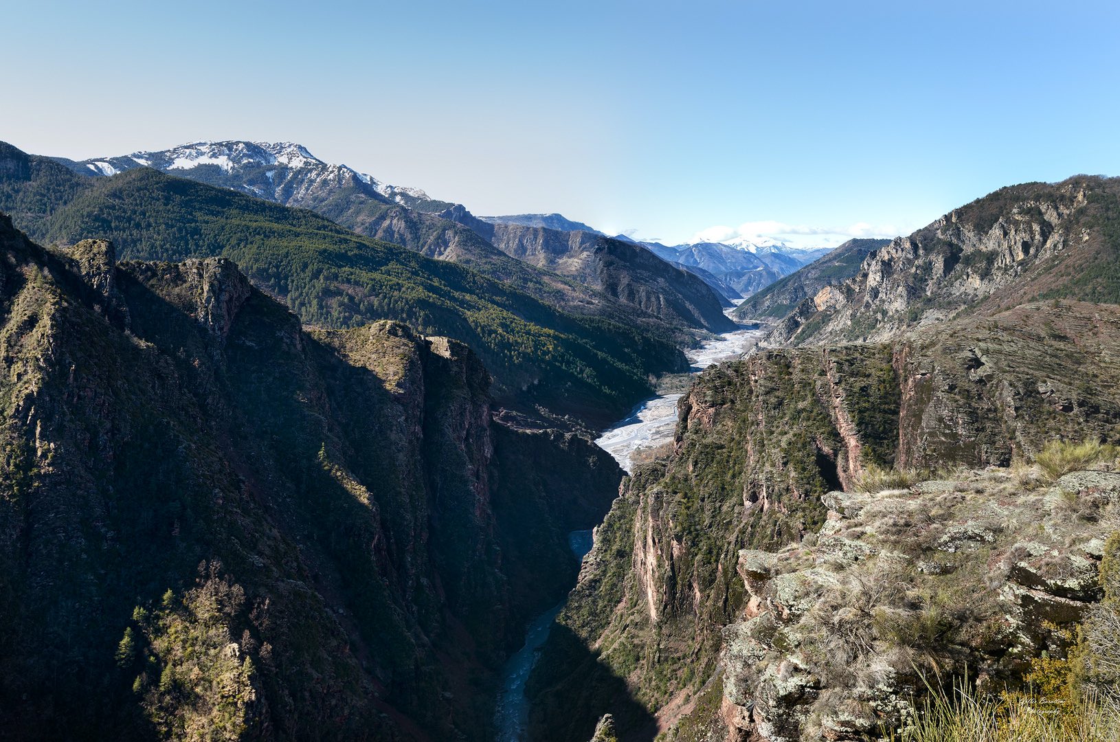
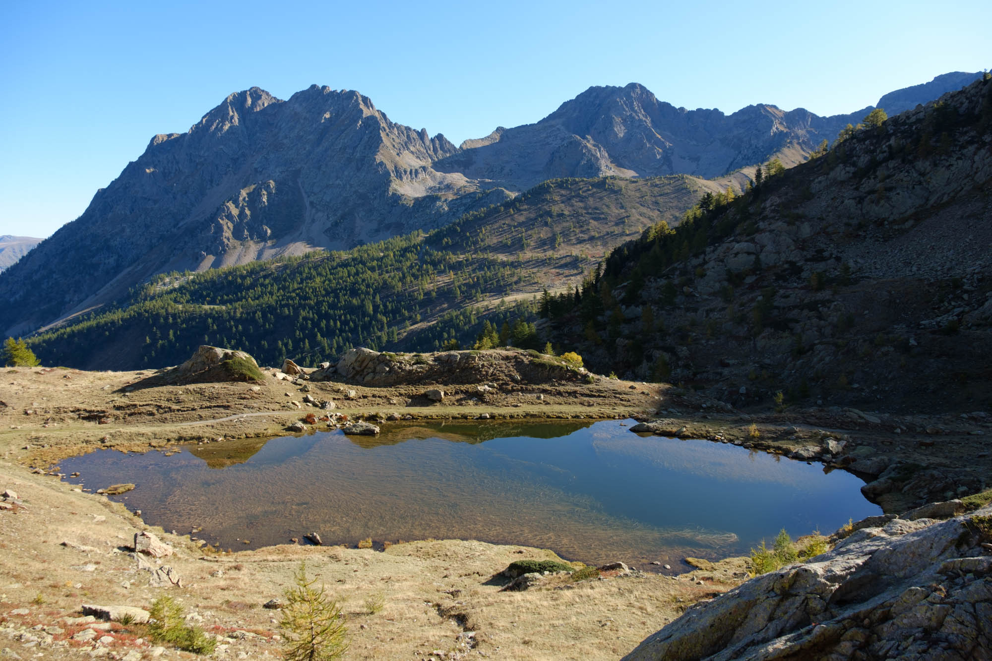
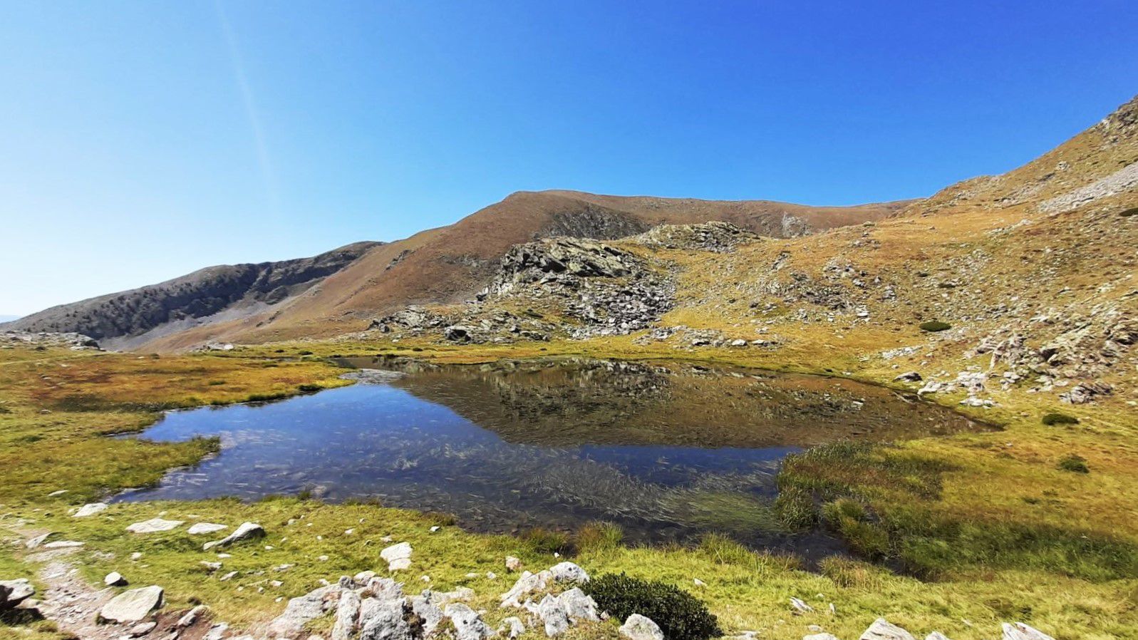
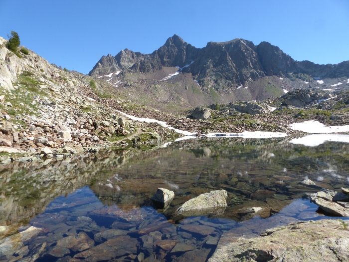
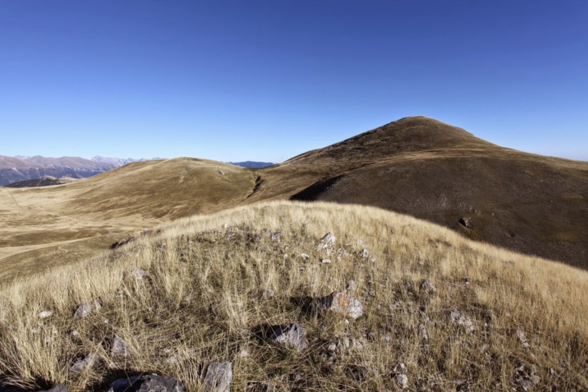
Loop through numerous peaks, including Tête de Pérail, Les Cluots, Tête du Pommier. Superb views of the surroundings.

Already more than 200,000 users!
Uphill
962m
Highest point
2097m
Downhill
962m
Lowest point
1287m
Route type
Loop
Download the map on your smartphone to save battery and rest assured to always keep access to the route, even without signal.
Includes IGN France and Swisstopo.
I indicate whether dogs are allowed or prohibited on this trail
From May to September
0 ratings
Also enjoy:

Already more than 200,000 users!